Zonmap, o co-piloto digital para o Sucesso!
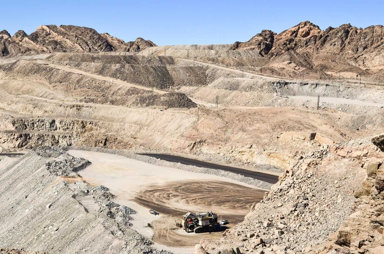
Mining, Quarries & Aggregates
-
Inventory and management of stockpile volume
-
Mine or quarry monitoring and operation planning
-
Assessment before drilling or blasting
-
Road monitoring
-
Slope monitoring
-
Hazard identifications
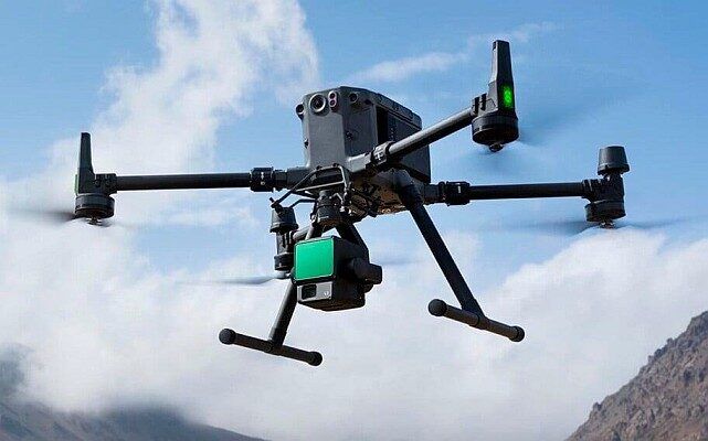
What are drones used for in mining?
– Stockpile management –
Better inventory and financial data
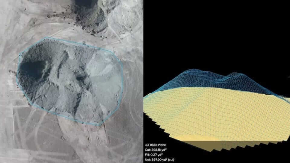
Drone aerial images can be used to generate point clouds, digital surface models, digital terrain models and a 3D reconstruction of a mining site, including its stockpiles.
As the point cloud contains several thousand data points, very accurate volume calculations can now be performed easily. This enables high-accuracy calculation of stockpile value for monthly reconciliations or year-end audits, which improves the consistency of inventory reports in the company’s balance sheet.
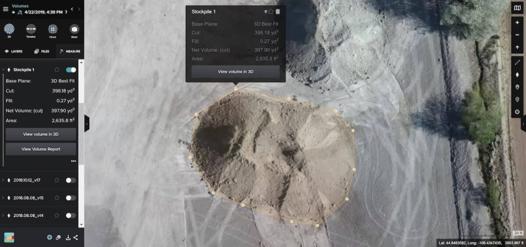
Because drone results and post-processing software are unbiased, you can also validate the amount of material moved by subcontractors .
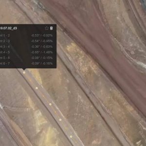
Haul road management
Aerial images of the site enable regular visual assessment of the state of haul roads as well. This provides valuable data such as length, slope and turning angles.
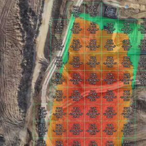
Assessment before and after drilling or blasting
By using drones in mining, you produce cost-effective and accessible 3D reconstructions and surface models for areas to be blasted or drilled.
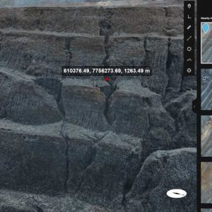
Hazard identification and mitigation
Due to the busy nature of mine sites and quarries, workers’ safety is a priority. With the high-resolution images from drones, you can inspect otherwise difficult-to-access or high-traffic areas of the site, without endangering yourself our any workers.
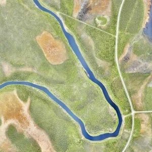
Mining exploration
Mining exploration Drone data can yield high-resolution orthophotos and DSM maps that support mining exploration projects in areas where it is difficult to navigate on foot. The use of drones costs only a fraction of the price of traditional manned aviation surveys.


