
The wait is over: DJI Lito & Lito X1 have landed!


Office Address
R. Bartolomeu Dias 9 A
Queluz de Baixo
2730-176 Barcarena
Lisboa
Email:
Geral: geral@ghostysky.pt
Information: info@ghostysky.com
Finance: dep-financeiro@ghostysky.pt
Tlf.: (+351) 211 654 767
Mbf.: (+351) 925 998 368
Opening hours:
09h00 às 18h00 (weekdays)


The wait is over: DJI Lito & Lito X1 have landed! – Ghostysky
www.ghostysky.com
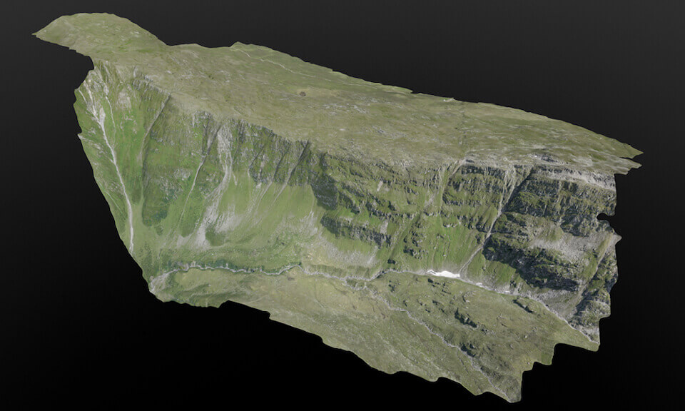
The DJI Lito series, launched in April 2026, marks a significant shift in DJI’s strategy for ultra-lightweight drones. Positioned as a versatile alternative to the long-standing Mini series, the Lit…