Solução Perfeita para obtenção de resultados únicos – O seu projeto nunca esteve em melhores mãos!

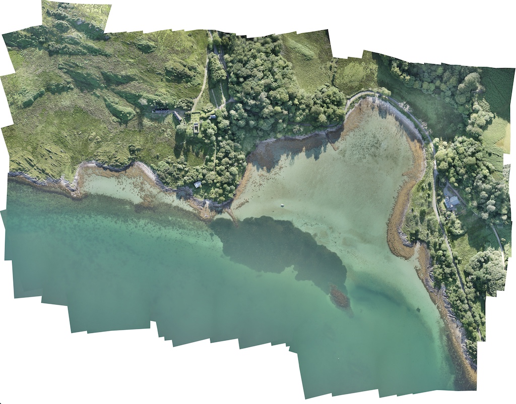
cropped-digital-surface-model
Environmental monitoring
Unlimited Aerial Observation
Drone Environmental Mapping And Monitoring
-
Population monitoring and control
-
Classify areas
-
Volumes
-
Monitor land changes
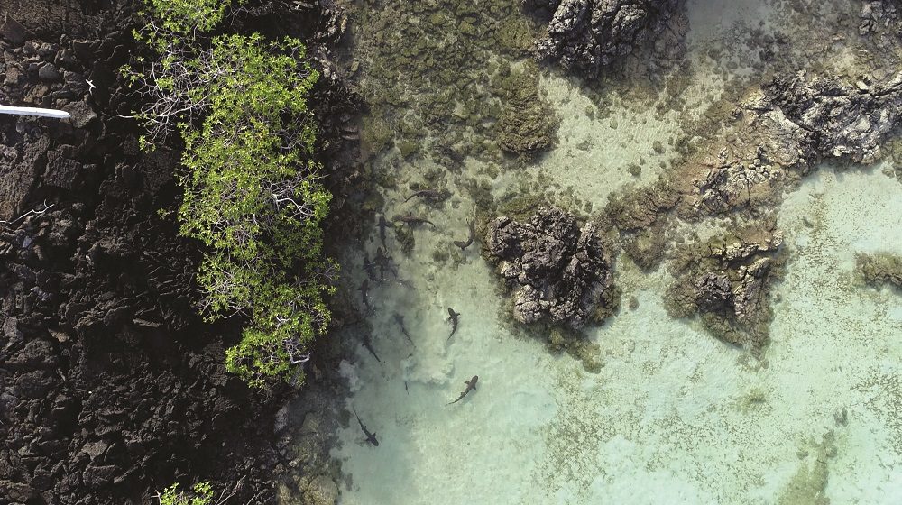
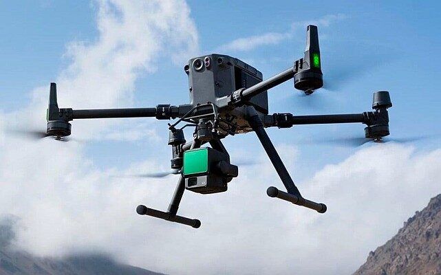
Conservationists and researchers use commercial drones to easily and quickly track wildlife or monitor land changes without the need for low-resolution satellite images or costly manned aircraft.


