Solução Perfeita para obtenção de resultados únicos – O seu projeto nunca esteve em melhores mãos!
cropped-digital-surface-model
Multispectral imagery
-
Index map (NDVI)
-
Chlorophyll map
-
NDRE, OSAVI, NIR, CIR
-
DSM
-
Weeds ½
-
RGB
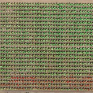
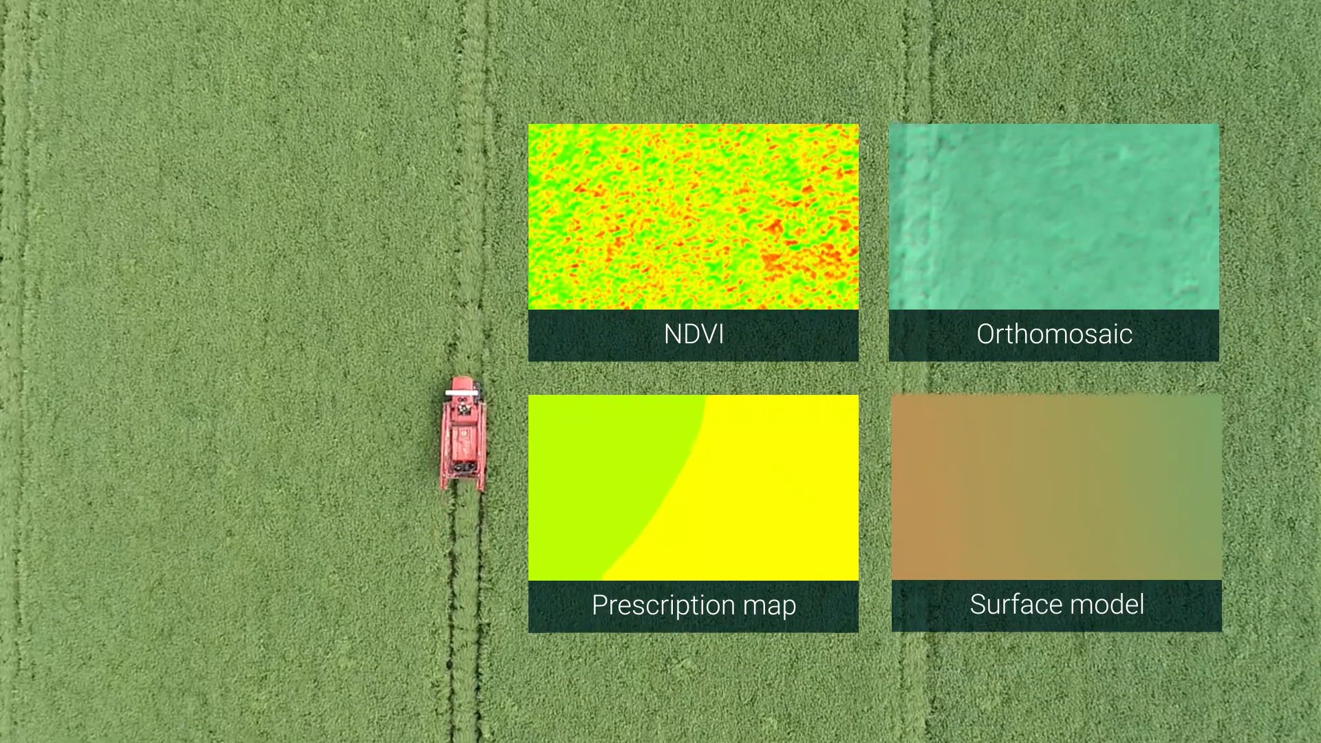
WingtraOne’s RedEdge-MX and Altum camera option collect multispectral data that can be turned into chlorophyll maps, NDVI layers, digital surface models or RGB single images. A resultant high-resolution aerial view map can be used for monitoring plant health and vigor, as well as evaluating surface properties, water flow and much more.
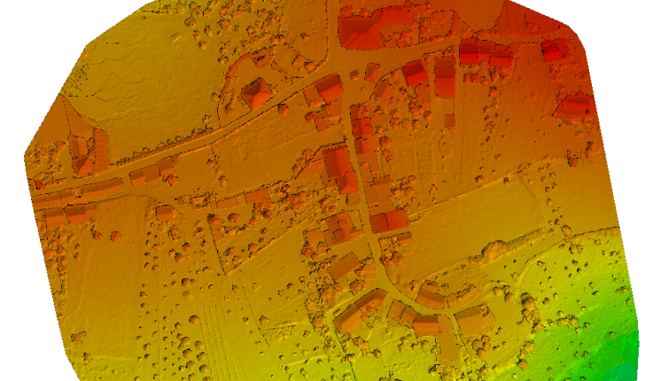
Wingtra’s customer Geoplan Team uses orthomosaic maps to maintain and organize the merger of vineyards in Western Switzerland.
USE CASES
-
Precision farming
-
Crop monitoring
-
Damage assessment
-
Fertility effectivity
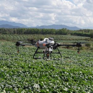
Precision farming
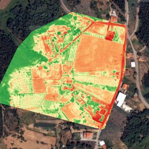
Crop monitoring
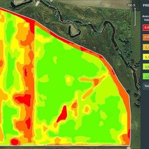
Damage assessment
