


Solução Perfeita para obtenção de resultados únicos – O seu projeto nunca esteve em melhores mãos!

DJI Matrice 400
Designed for a wide range of industrial applications such as emergency response, power inspections, mapping, and architecture, engineering, and construction.

DJI Matrice 4E and 4T
The DJI Matrice 4E and Matrice 4T are both industrial-grade drones from DJI, designed specifically for professionals in fields like surveying, inspection, mapping and monitoring.

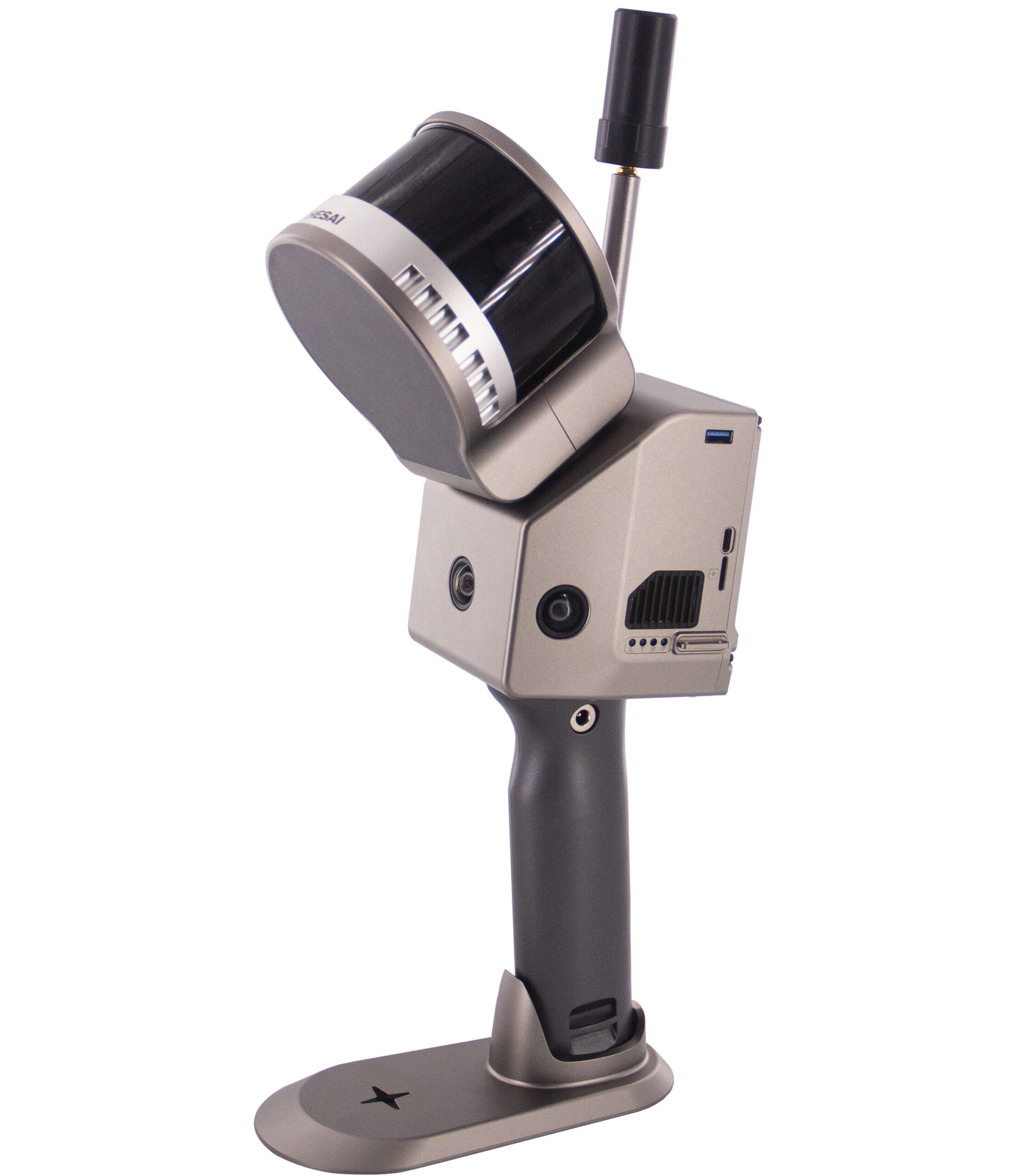
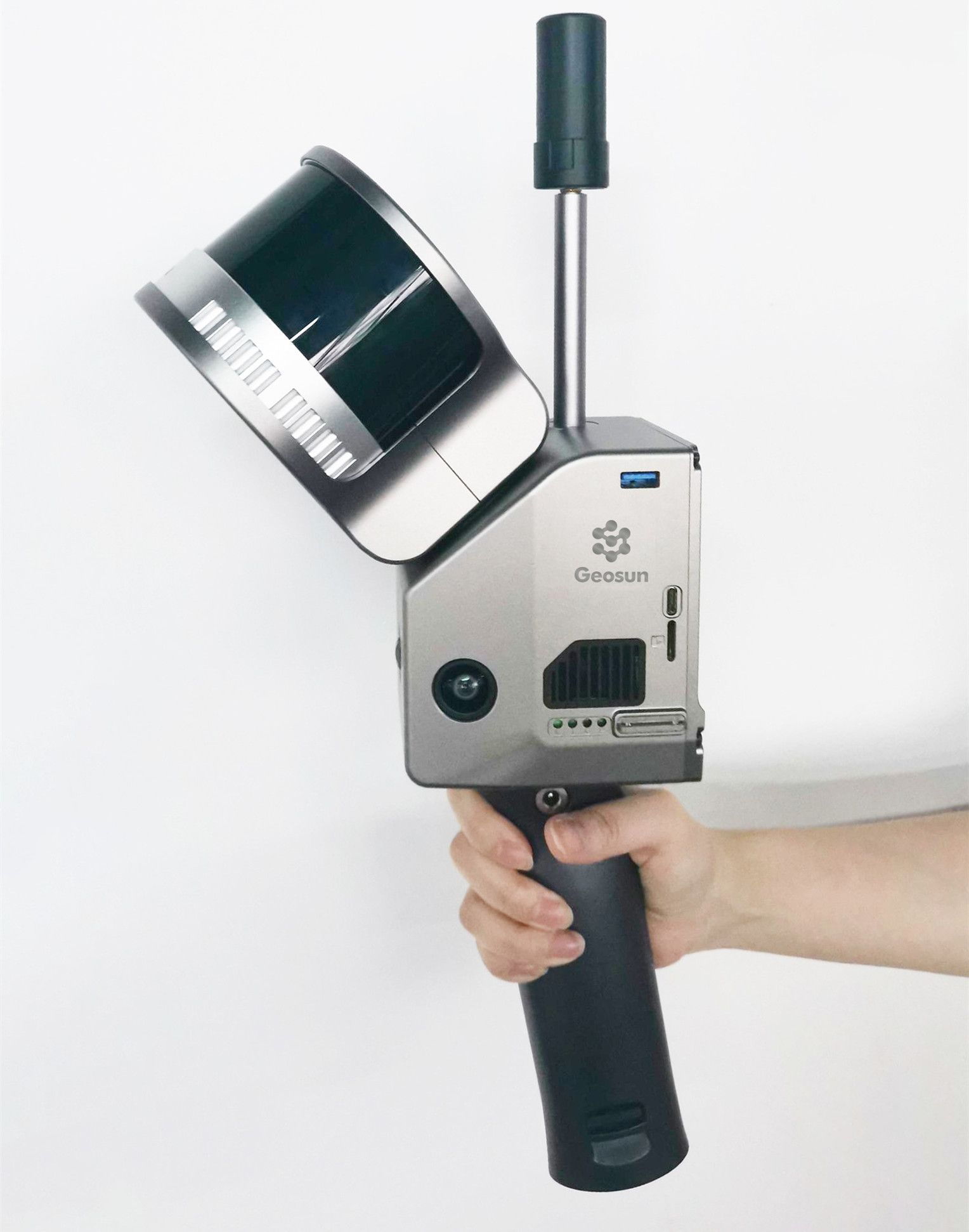
Geosun Lidars
Geosun LiDARs are a high-quality products that offers a combination of accuracy, speed, and efficiency.


New Wingtra LIDAR
Perfectly integrated with the WingtraOne GEN II drone to ensure a streamlined workflow.

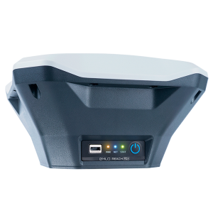
New Emlid Reach RS3
Multi-band base and rover
IMU tilt compensation
LTE modem
Dual-band radio
IMU tilt compensation
LTE modem
Dual-band radio

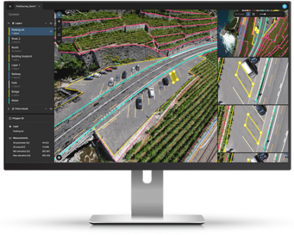
 Surveying & GIS
-
 Vista Rápida
 -
 Vista Rápida
 -
 Vista Rápida
 -
Sale!Vista Rápida
-
 Vista Rápida
 -
 Vista Rápida
 -
 Vista Rápida
 Mining & Quarries
-
Vista Rápida
-
Vista Rápida
-
Sale!Vista Rápida
-
Vista Rápida
-
 Vista Rápida
 -
Vista Rápida
-
Vista Rápida
-
Vista Rápida
 Construction
-
Vista Rápida
-
Vista Rápida
-
Sale!Vista Rápida
-
Vista Rápida
-
Vista Rápida
-
Vista Rápida
-
Vista Rápida
-
Vista Rápida
 Agriculture
-
Vista Rápida
-
Vista Rápida
-
Vista Rápida
-
Vista Rápida
-
Vista Rápida
-
 Vista Rápida
 -
Vista Rápida
 Environment monitoring
-
Vista Rápida
-
Vista Rápida
-
Vista Rápida
-
Sale!Vista Rápida
-
Vista Rápida
-
Vista Rápida
-
Vista Rápida
 Search & Rescue
-
Vista Rápida
-
Vista Rápida
-
Sale!
 Vista Rápida
 -
Vista Rápida
-
Vista Rápida
-
Vista Rápida
-
Vista Rápida
 Other applications
-
Sale!
 Vista Rápida
 -
Sale!
 Vista Rápida
 -
 Vista Rápida
 -
Sale!
 Vista Rápida
 -
 Vista Rápida
 -
Sale!Vista Rápida
-
 Vista Rápida


Showing 433–448 of 573 results
Sale!

Pix4DMatic – Monthly License
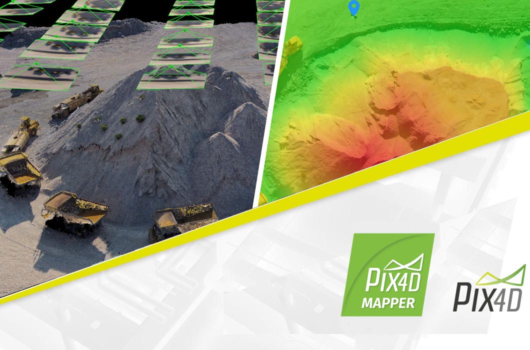
Pix4dMatic - Montlhy License Pix4Dmatic - Monthly Subscription Pix4Dmatic is the leading photogrammetry software for professional drone-based mapping. The software helps surveyors with mapping, companies with digitization and 3-D modeling or engineers with the collection and evaluation of thermal data with high-precision data supported by GNSS.
300,30 € Exc.VAT (300,30 € Inc. 23% VAT)
Sale!
Pix4DMatic – Yearly License
Pix4dMatic - Yearly License Pix4Dmatic - Yearly Subscription Pix4Dmatic is the leading photogrammetry software for professional drone-based mapping. The software helps surveyors with mapping, companies with digitization and 3-D modeling or engineers with the collection and evaluation of thermal data with high-precision data supported by GNSS.
3.003,00 € Exc.VAT (3.003,00 € Inc. 23% VAT)
Pix4DMatic Student Educational – Monthly License
Pix4DMatic - Student Educational (Monthly) Pix4Dmatic is the leading photogrammetry software for professional drone-based mapping. The software helps surveyors with mapping, companies with digitization and 3-D modeling or engineers with the collection and evaluation of thermal data with high-precision data supported by GNSS.
50,00 € Exc.VAT (50,00 € Inc. 23% VAT)
Pix4DMatic Student Educational – Semester License
Pix4DMatic - Student Educational (Semester) Pix4Dmatic is the leading photogrammetry software for professional drone-based mapping. The software helps surveyors with mapping, companies with digitization and 3-D modeling or engineers with the collection and evaluation of thermal data with high-precision data supported by GNSS.
149,00 € Exc.VAT (149,00 € Inc. 23% VAT)
Pix4DMatic Professor Educational – Yearly License
Pix4DMatic Professor Educational - Yearly License Pix4Dmatic is the leading photogrammetry software for professional drone-based mapping. The software helps surveyors with mapping, companies with digitization and 3-D modeling or engineers with the collection and evaluation of thermal data with high-precision data supported by GNSS.
500,00 € Exc.VAT (500,00 € Inc. 23% VAT)
Sale!
Pix4DMatic Professor Educational – 5 Year License
Pix4DMatic Professor Educational - 5 Year License Pix4Dmatic is the leading photogrammetry software for professional drone-based mapping. The software helps surveyors with mapping, companies with digitization and 3-D modeling or engineers with the collection and evaluation of thermal data with high-precision data supported by GNSS.
909,09 € Exc.VAT (909,09 € Inc. 23% VAT)
Sale!
Pix4DMatic Professor Educational – Perpetual License
1.819,09 € Exc.VAT (1.819,09 € Inc. 23% VAT)
Pix4DMatic Professor Educational – Perpetual License
Pix4DMatic Professor Educational - Perpetual License Pix4Dmatic is the leading photogrammetry software for professional drone-based mapping. The software helps surveyors with mapping, companies with digitization and 3-D modeling or engineers with the collection and evaluation of thermal data with high-precision data supported by GNSS.
1.819,09 € Exc.VAT (1.819,09 € Inc. 23% VAT)
Sale!
Pix4DMatic Classroom Educational – Perpetual License
3.640,00 € Exc.VAT (3.640,00 € Inc. 23% VAT)
Pix4DMatic Classroom Educational – Perpetual License
Pix4DMatic Classroom Educational - Perpetual License Pix4Dmatic is the leading photogrammetry software for professional drone-based mapping. The software helps surveyors with mapping, companies with digitization and 3-D modeling or engineers with the collection and evaluation of thermal data with high-precision data supported by GNSS.
3.640,00 € Exc.VAT (3.640,00 € Inc. 23% VAT)
Sale!
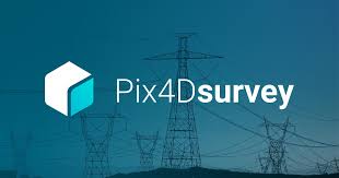
Pix4DSurvey – 3-Year License
Pix4DSurvey - 3-Year License Pix4Dsurvey is a software program designed to work with data captured from drones and laser scanners. It specifically focuses on the post-processing stage, after the images or point clouds have been captured.
3.185,00 € Exc.VAT (3.185,00 € Inc. 23% VAT)
Pix4DSurvey – Monthly License
Pix4DSurvey - Monthly License Pix4Dsurvey is a software program designed to work with data captured from drones and laser scanners. It specifically focuses on the post-processing stage, after the images or point clouds have been captured.
200,00 € Exc.VAT (200,00 € Inc. 23% VAT)
Pix4DSurvey Student Educational – Monthly License
Pix4DSurvey Student Educational - Monthly License Pix4Dsurvey is a software program designed to work with data captured from drones and laser scanners. It specifically focuses on the post-processing stage, after the images or point clouds have been captured.
15,00 € Exc.VAT (15,00 € Inc. 23% VAT)
Pix4DSurvey Student Educational – Semester License
Pix4DSurvey Student Educational - Semester License Pix4Dsurvey is a software program designed to work with data captured from drones and laser scanners. It specifically focuses on the post-processing stage, after the images or point clouds have been captured.
30,00 € Exc.VAT (30,00 € Inc. 23% VAT)
Pix4DSurvey Professor Educational – Yearly License
Pix4DSurvey Professor Educational - Yearly License Pix4Dsurvey is a software program designed to work with data captured from drones and laser scanners. It specifically focuses on the post-processing stage, after the images or point clouds have been captured.
300,00 € Exc.VAT (300,00 € Inc. 23% VAT)
Sale!
Pix4DSurvey Classroom Educational – Yearly License
Pix4DSurvey Classroom Educational - Yearly License Pix4Dsurvey is a software program designed to work with data captured from drones and laser scanners. It specifically focuses on the post-processing stage, after the images or point clouds have been captured.
546,00 € Exc.VAT (546,00 € Inc. 23% VAT)
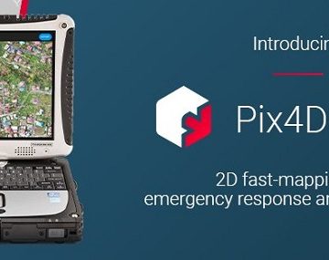
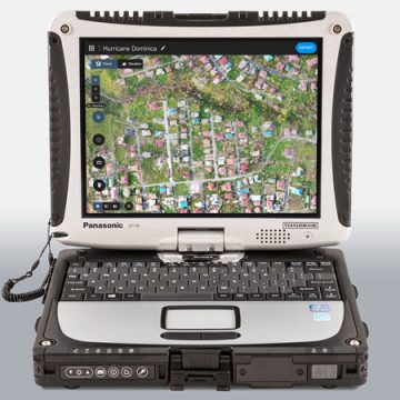
Pix4DReact – Monthly License
Pix4DReact - Monthly Subscription license 2D fast-mapping for emergency response and public safety The mapping software for emergency response Get rapid and reliable situational awareness for quick decisions and collaboration in the field.
45,00 € Exc.VAT (45,00 € Inc. 23% VAT)
Pix4DReact Student Educational – Monthly License
Pix4DReact Student Educational - Monthly License 2D fast-mapping for emergency response and public safety The mapping software for emergency response Get rapid and reliable situational awareness for quick decisions and collaboration in the field.
7,00 € Exc.VAT (7,00 € Inc. 23% VAT)

-
-
Sale!

 Vista Rápida
 -
-
-
-
Sale!
 Vista Rápida
 -
Sale!
 Vista Rápida
 -
Sale!
 Vista Rápida

-
 Vista Rápida
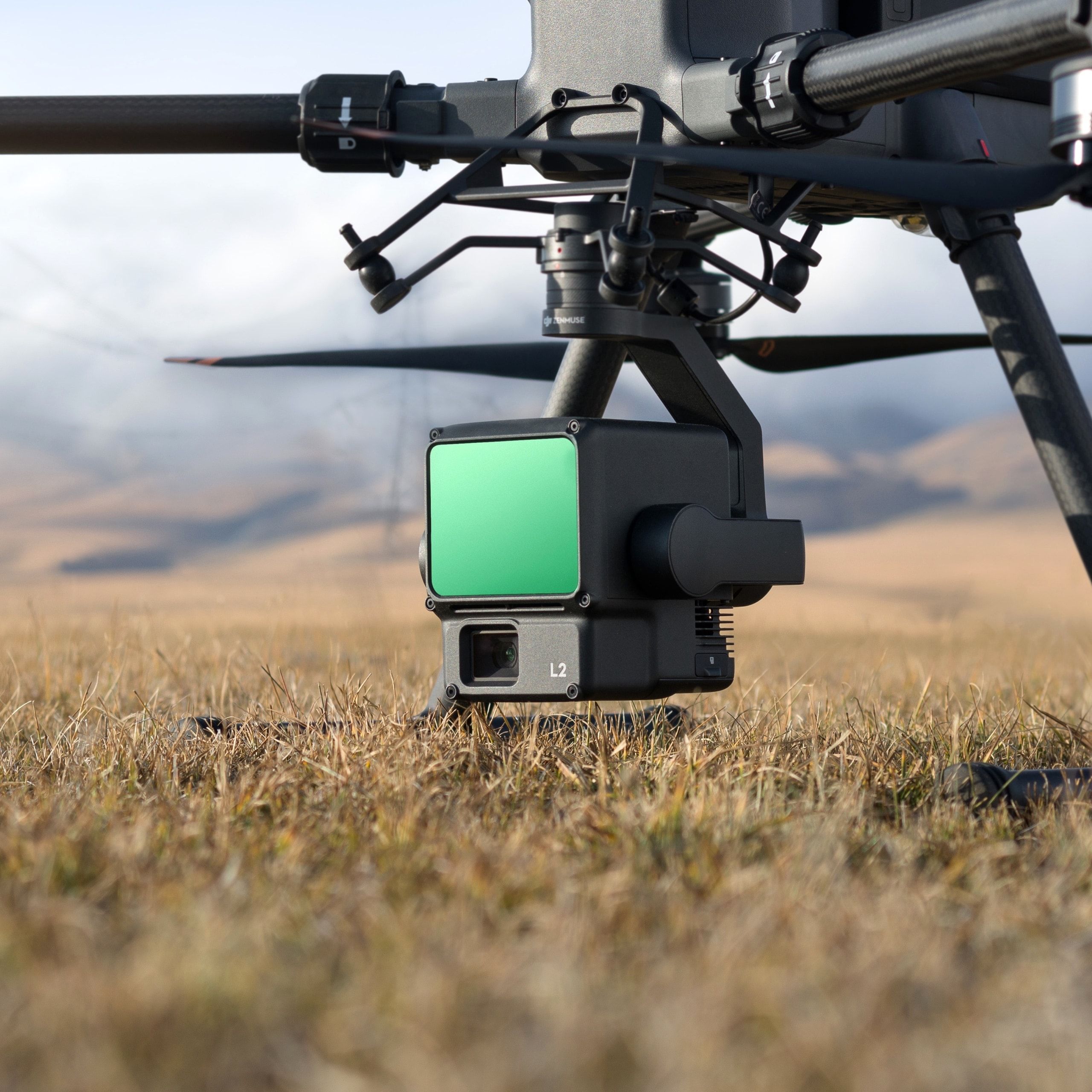
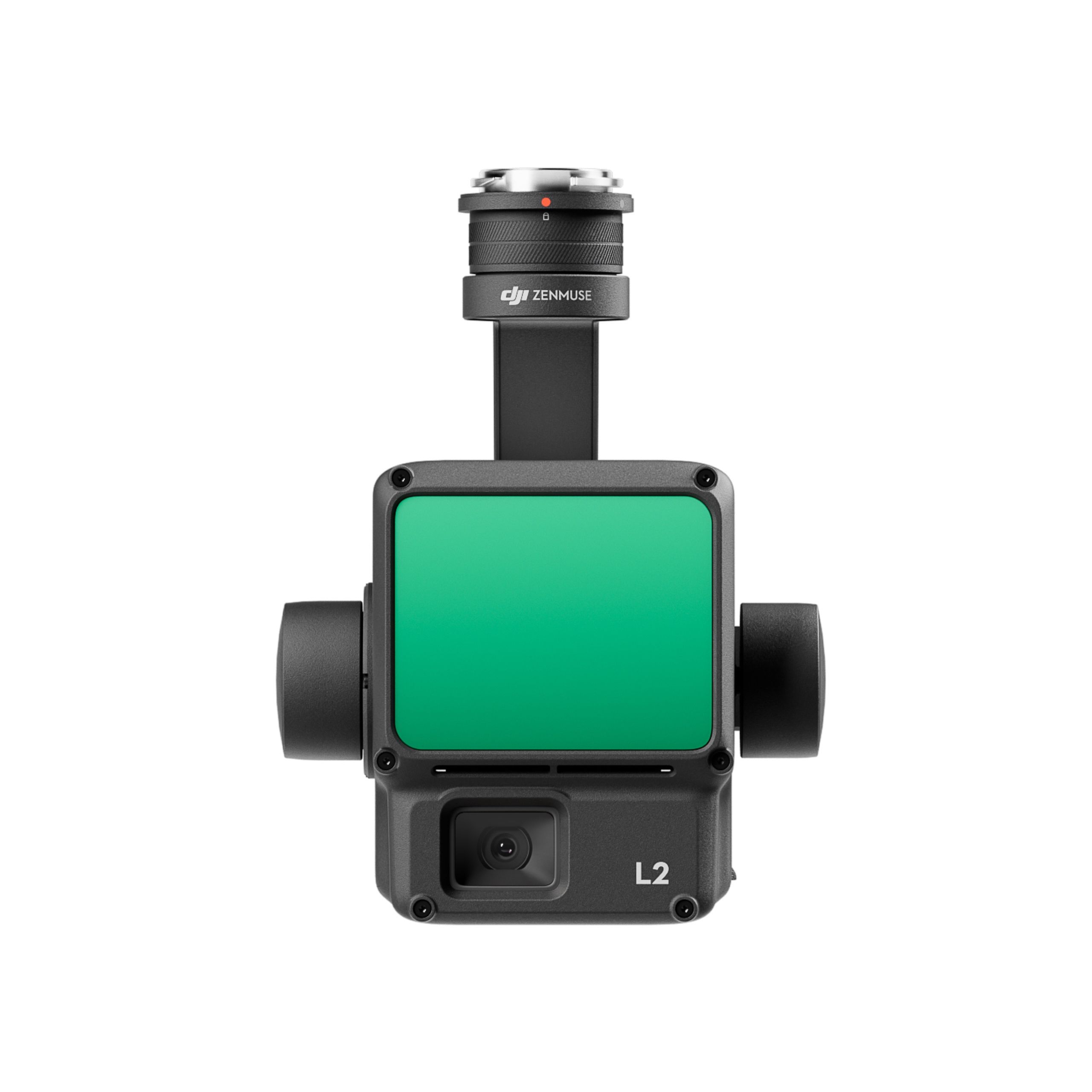
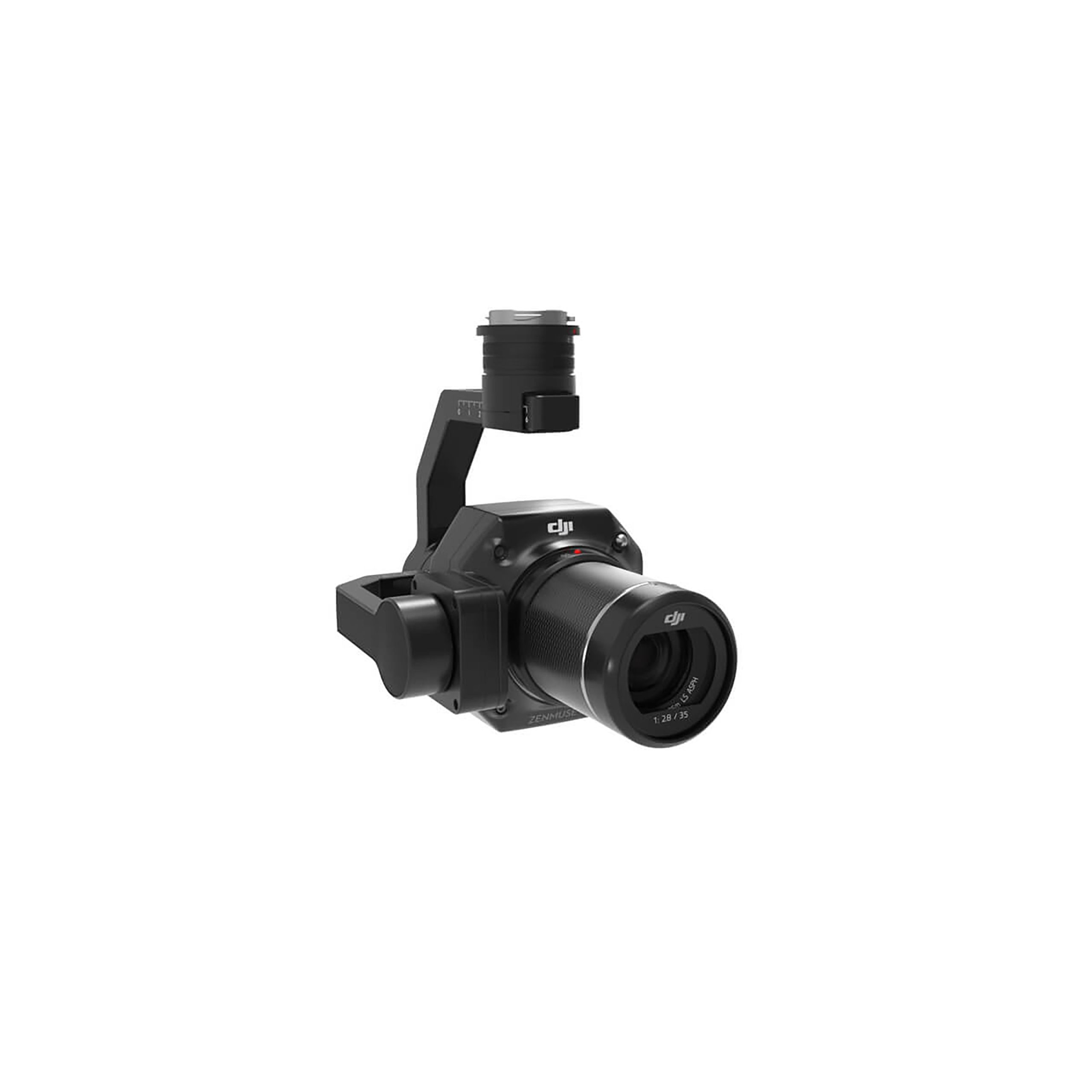
DJI Zenmuse L2 Worry-Free Basic Combo
Accessories DJI Matrice 350 RTK 10.813,01 € Exc.VAT (10.813,01 € Inc. 23% VAT) -
 Vista Rápida
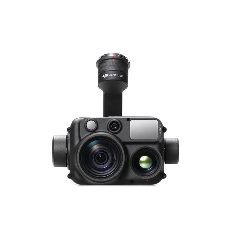
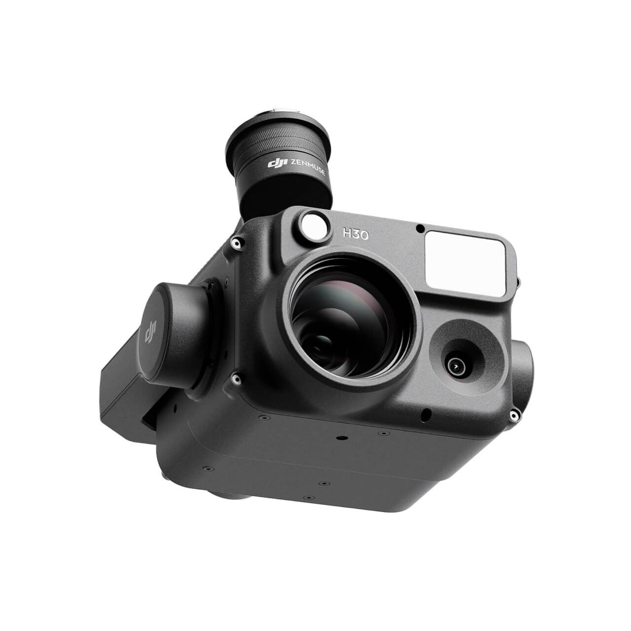
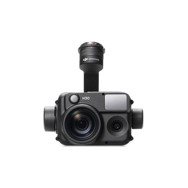
DJI Zenmuse H30T Worry-Free Basic Combo
Accessories DJI Matrice 300 RTK 10.608,94 € Exc.VAT (10.608,94 € Inc. 23% VAT) -
 Vista Rápida
 -
 Vista Rápida
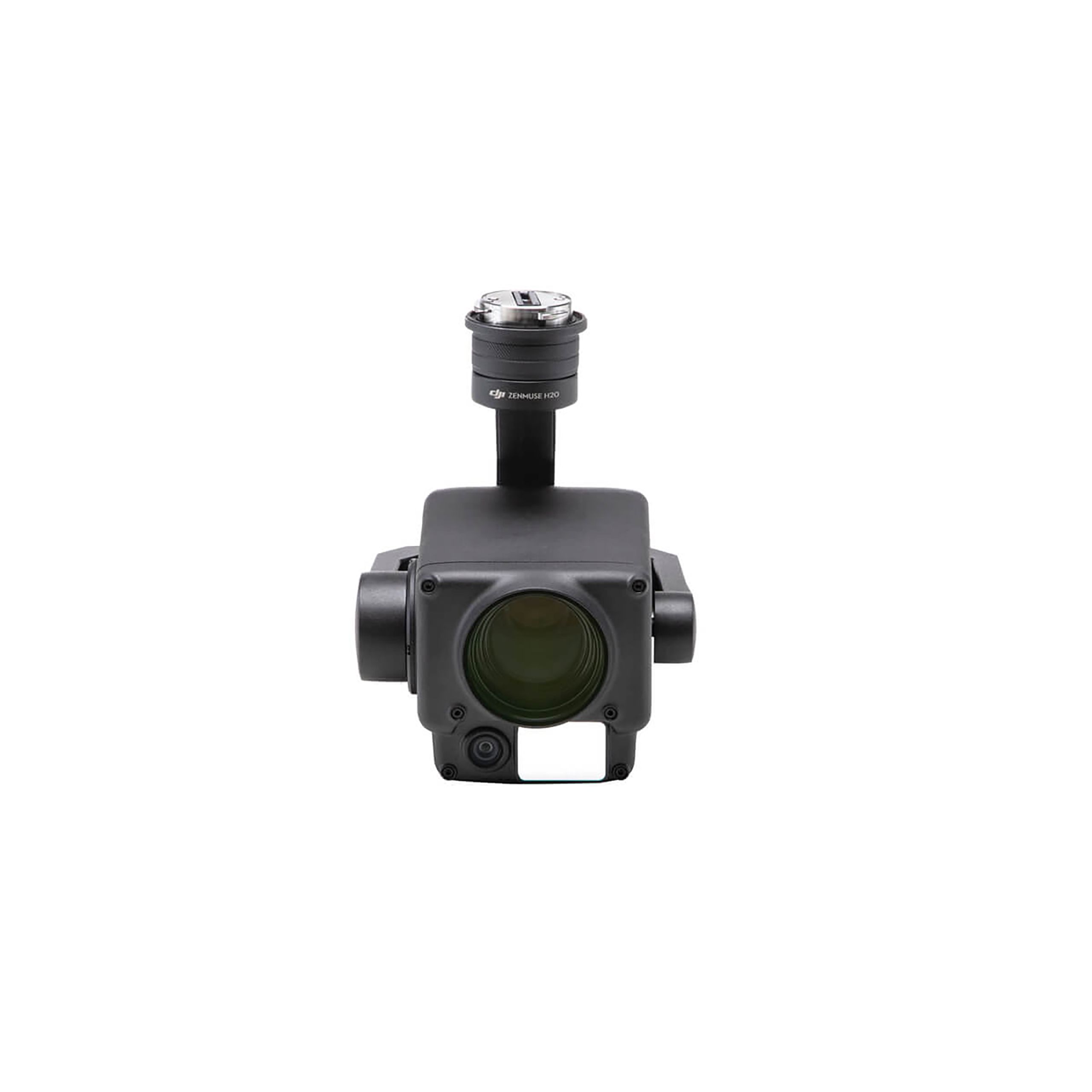
DJI Zenmuse H20N Worry-Free Basic Combo
Accessories DJI Matrice 350 RTK 9.987,80 € Exc.VAT (9.987,80 € Inc. 23% VAT) -
 Vista Rápida
 -
 Vista Rápida
DJI Zenmuse H30 Worry-Free Plus Combo
Accessories DJI Matrice 350 RTK 4.382,11 € Exc.VAT (4.382,11 € Inc. 23% VAT) -
Vista Rápida
DJI Zenmuse H30 Worry-Free Basic Combo
Accessories DJI Matrice 350 RTK 4.045,53 € Exc.VAT (4.045,53 € Inc. 23% VAT) -
 Vista Rápida
-
Vista Rápida
DJI Matrice 350 RTK-Worry-Free Basic Combo
DJI Matrice 350 RTK 10.161,79 € Exc.VAT (10.161,79 € Inc. 23% VAT) -
-
-
-
-
Sale!
 Vista Rápida
 -
 Vista Rápida
DJI Mavic 3M (Multispectral) – Free Basic Combo – 1 Year
DJI 3.727,64 € Exc.VAT (3.727,64 € Inc. 23% VAT) -
Vista Rápida
-
Sale!
 Vista Rápida
 -
Sale!Vista Rápida
-
 Vista Rápida
 -
Vista Rápida
-
Vista Rápida
Global Mapper Pro Single User – Floating License
Blue Marble 2.172,50 € Exc.VAT (2.172,50 € Inc. 23% VAT) -
Vista Rápida
Global Mapper Pro Single User – Node Locked
Blue Marble 1.599,00 € Exc.VAT (1.599,00 € Inc. 23% VAT) -
Vista Rápida
-
 Vista Rápida
Agisoft Metashape Standard, Node-Locked Educational license, Single
Agisoft 54,00 € Exc.VAT (54,00 € Inc. 23% VAT)
