Solução Perfeita para obtenção de resultados únicos – O seu projeto nunca esteve em melhores mãos!
Providing high-precision aerial surveys
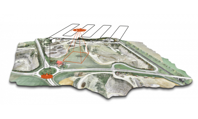
Multiple overlapping photos of the ground below are captured asour drone flies autonomously along a flight path that we specify beforehand. This ensures we don’t miss anything and enough image overlap is achieved.
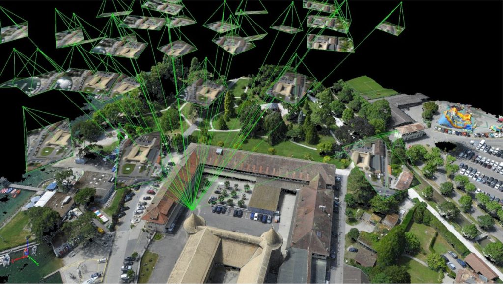
For mapping, our drone use photogrammetry technique, and the output of this is normally a map, measurement or 3D model of a real-world object or scene.
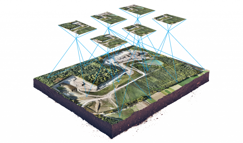
Our Map platform generation software easily enables us to put together a comprehensive survey of land fllight by our drone, providing the capabilities of generation of maps in several formats, for several specific analysis
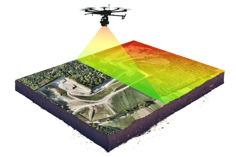
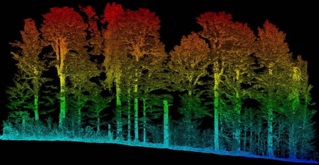
LIDAR, which stands for “light detection and ranging,” sends out pulses of laser light and measures the exact time it takes for these pulses to return as they bounce from the ground. It also measures the intensity of that reflection.
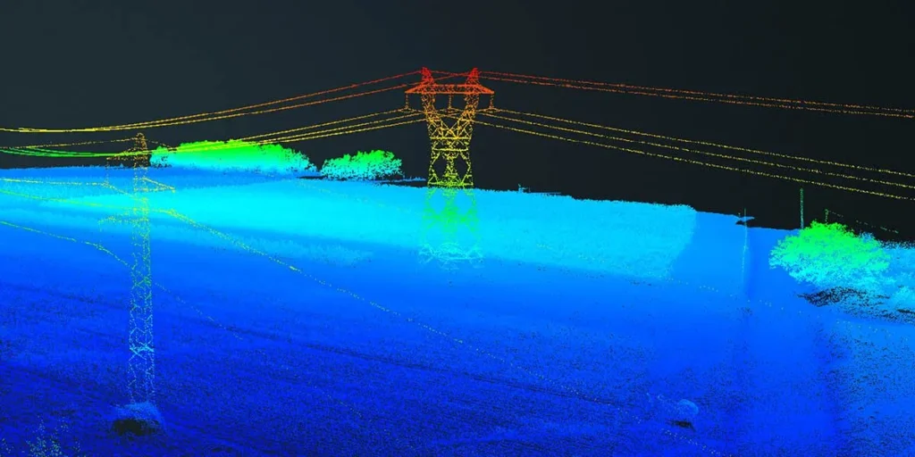
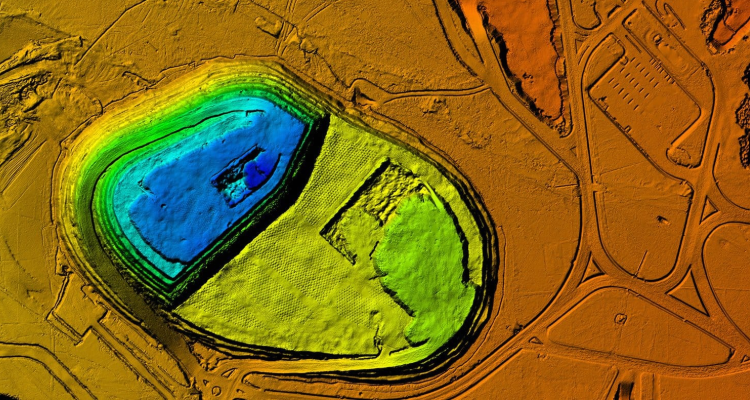
A 3D output map from LIDAR provides elevation information, which can be colorized based on either elevation or intensity to aid interpretation. High-end LIDAR systems perform well when capturing data over power lines or other small-diameter structures.
Mapping applications across industries
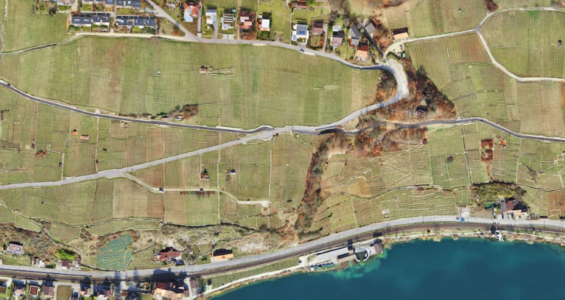
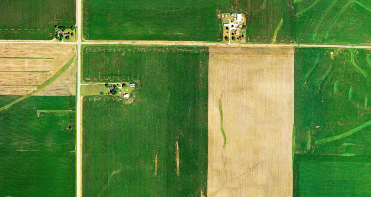
Monitor plant health
Perform plant count
Optimize plant ROI
Assess losses after major weather event

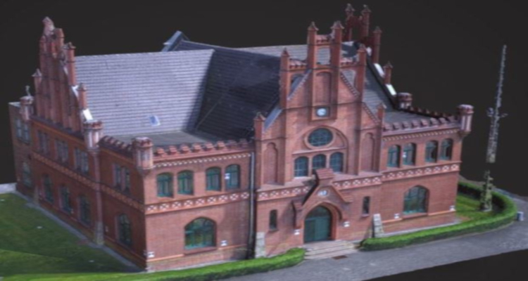
The solution All-in-one
With its range of best-in-class drones and cameras, we can produce stunning, highly-precise aerial maps.
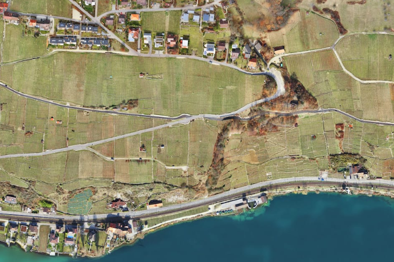
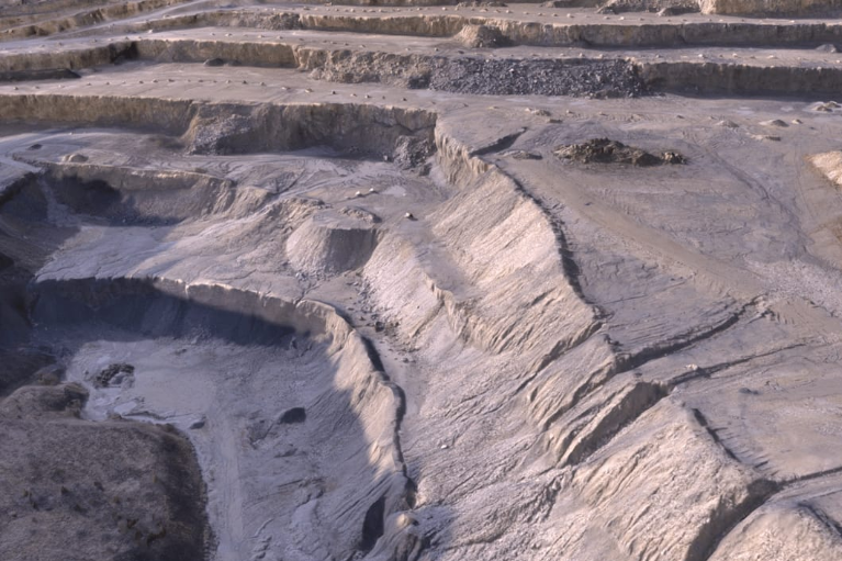
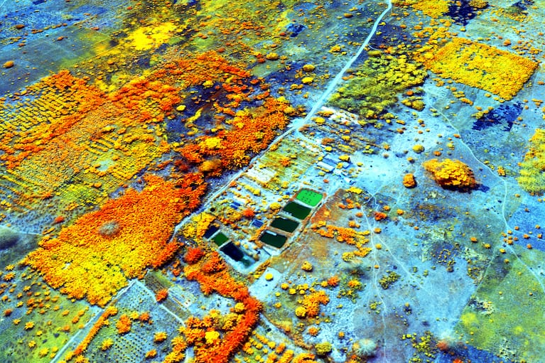

Digital Elevation Models
Digital Surface Models
Canopy Height Model
Contour lines

Sede
Rua São José, Braçais
3260-072 Arega
Figueiró dos Vinhos
Delegação de Vendas
Rua Bartolomeu Dias, N.º9 A
Queluz de Baixo
2730-176 Barcarena
Lisboa
Email:
Geral: geral@ghostysky.pt
Information: info@ghostysky.com
Finance: dep-financeiro@ghostysky.pt
Tlf.: (+351) 211 654 767
Tlm.: (+351) 925 998 368
Horário de Atendimento:
09h00 às 18h00 (dias úteis)


2 weeks ago
This website uses cookies so that we can provide you with the best user experience possible. Cookie information is stored in your browser and performs functions such as recognising you when you return to our website and helping our team to understand which sections of the website you find most interesting and useful.
Strictly Necessary Cookie should be enabled at all times so that we can save your preferences for cookie settings.
If you disable this cookie, we will not be able to save your preferences. This means that every time you visit this website you will need to enable or disable cookies again.
This website uses Google Analytics to collect anonymous information such as the number of visitors to the site, and the most popular pages.
Keeping this cookie enabled helps us to improve our website.
Please enable Strictly Necessary Cookies first so that we can save your preferences!
More information about our Cookie Policy

