


EMLID PHOTO CONTEST

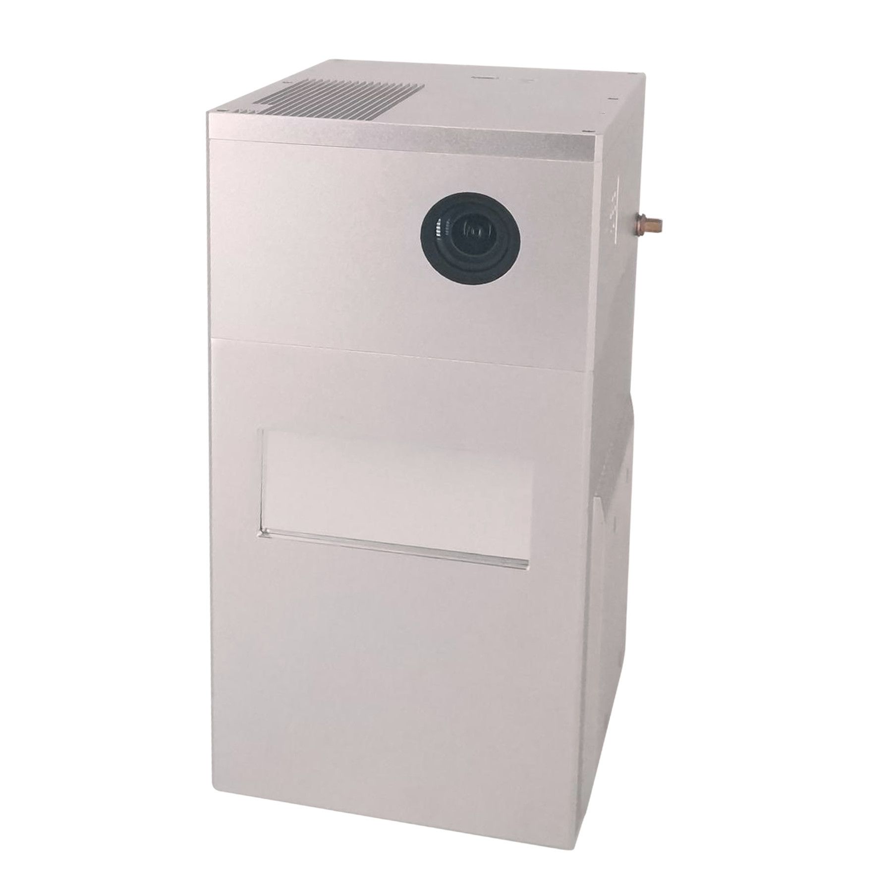
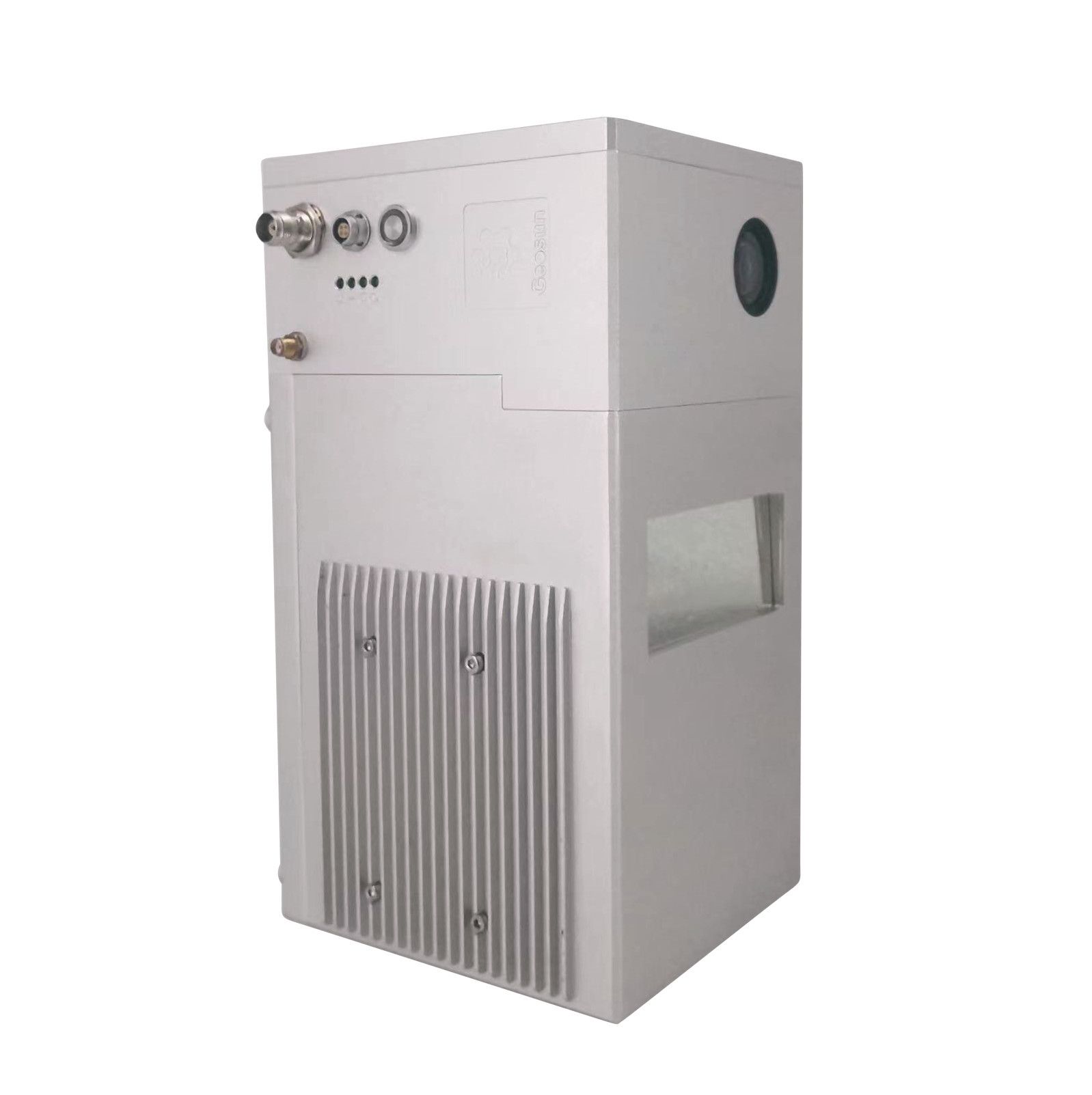
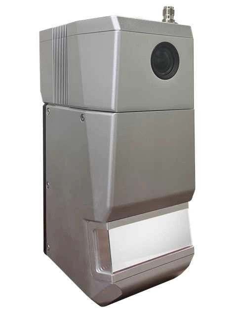
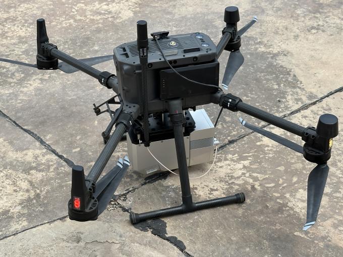
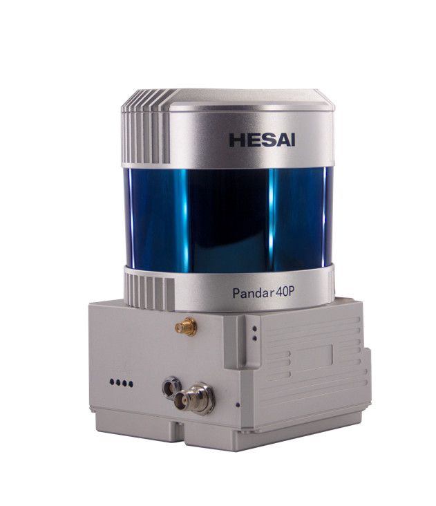
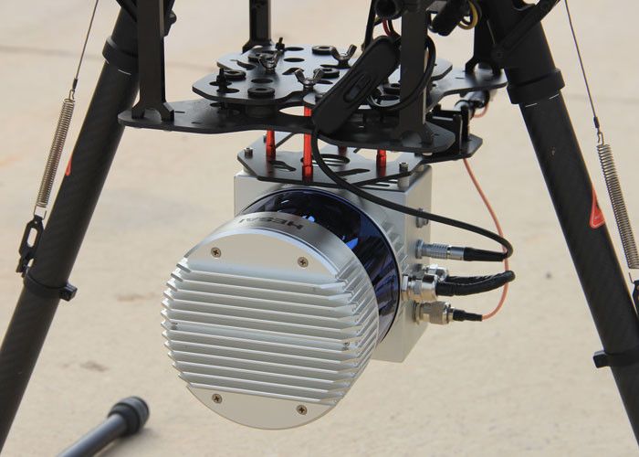
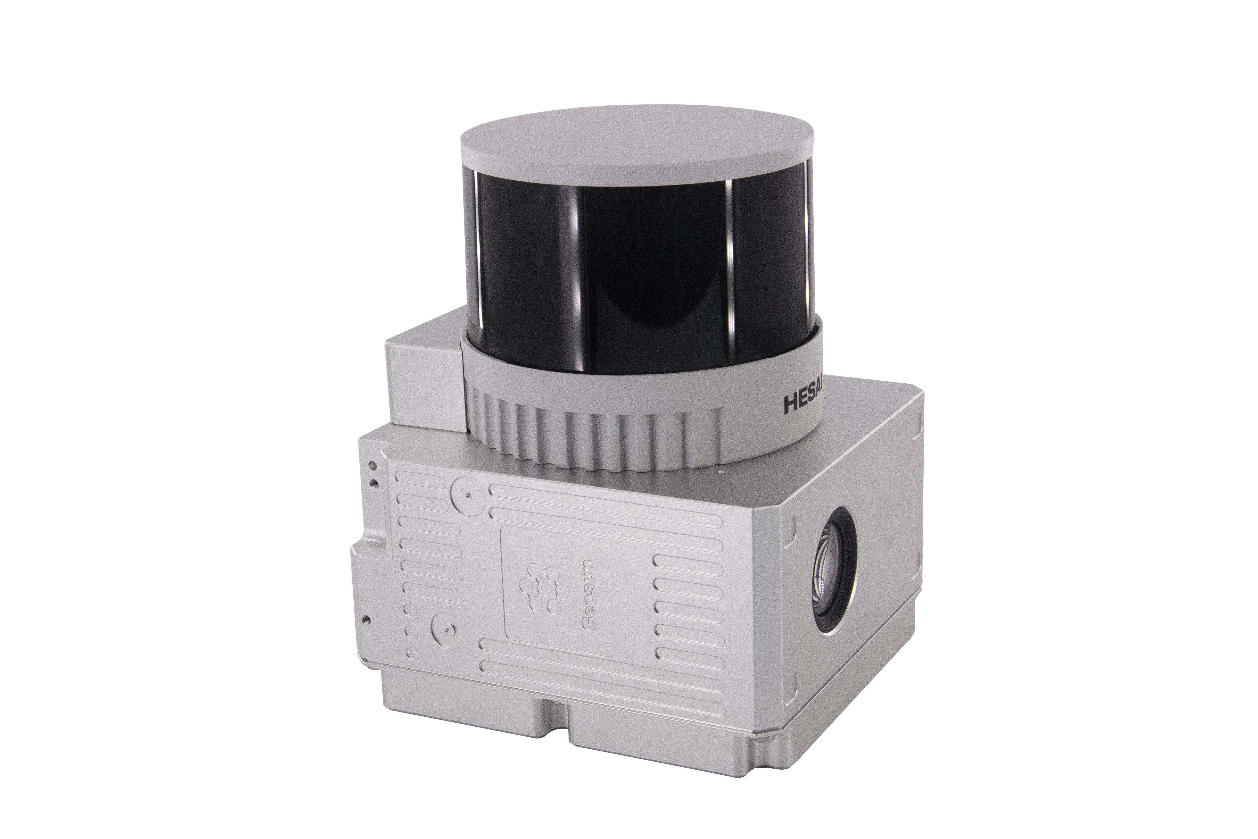
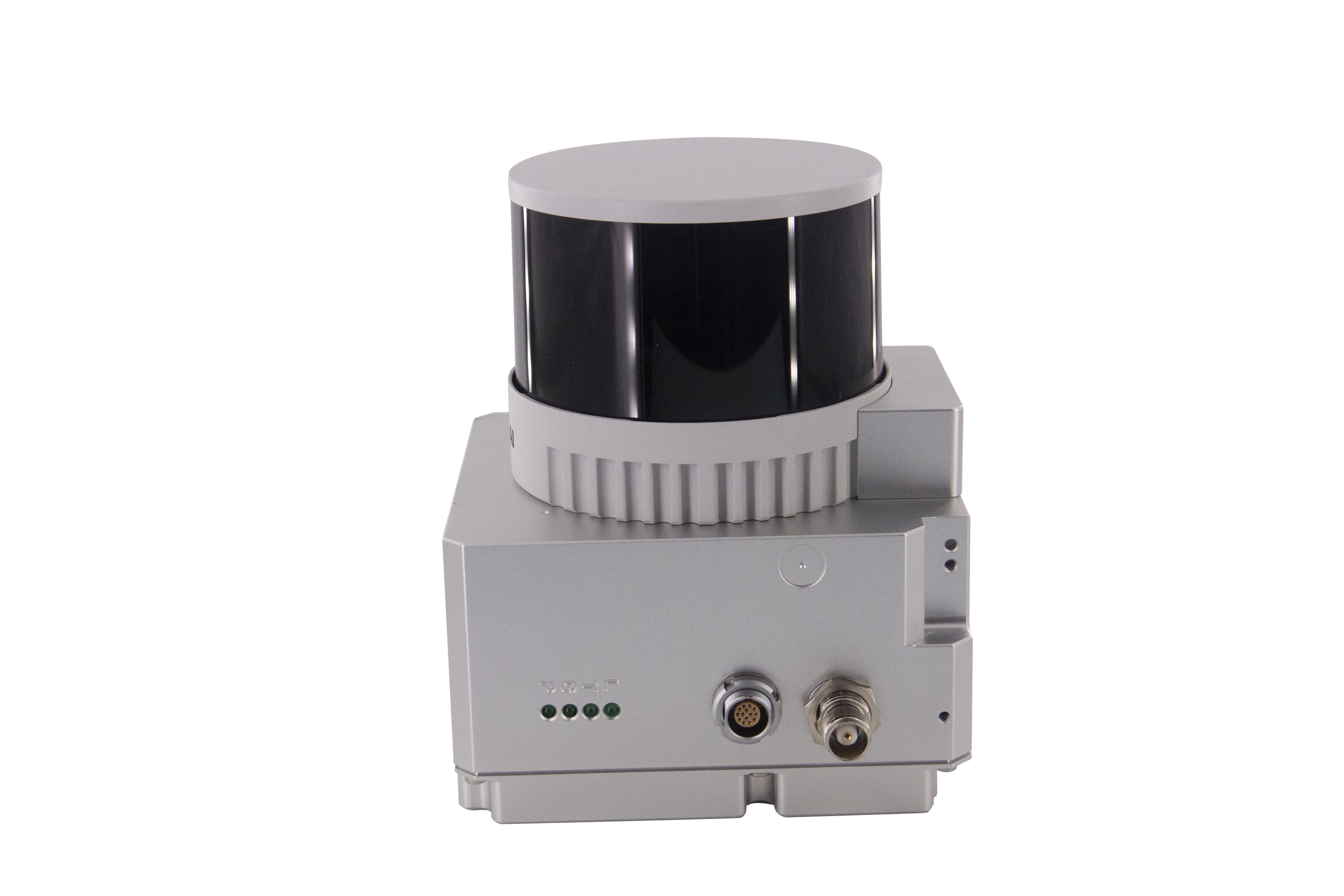
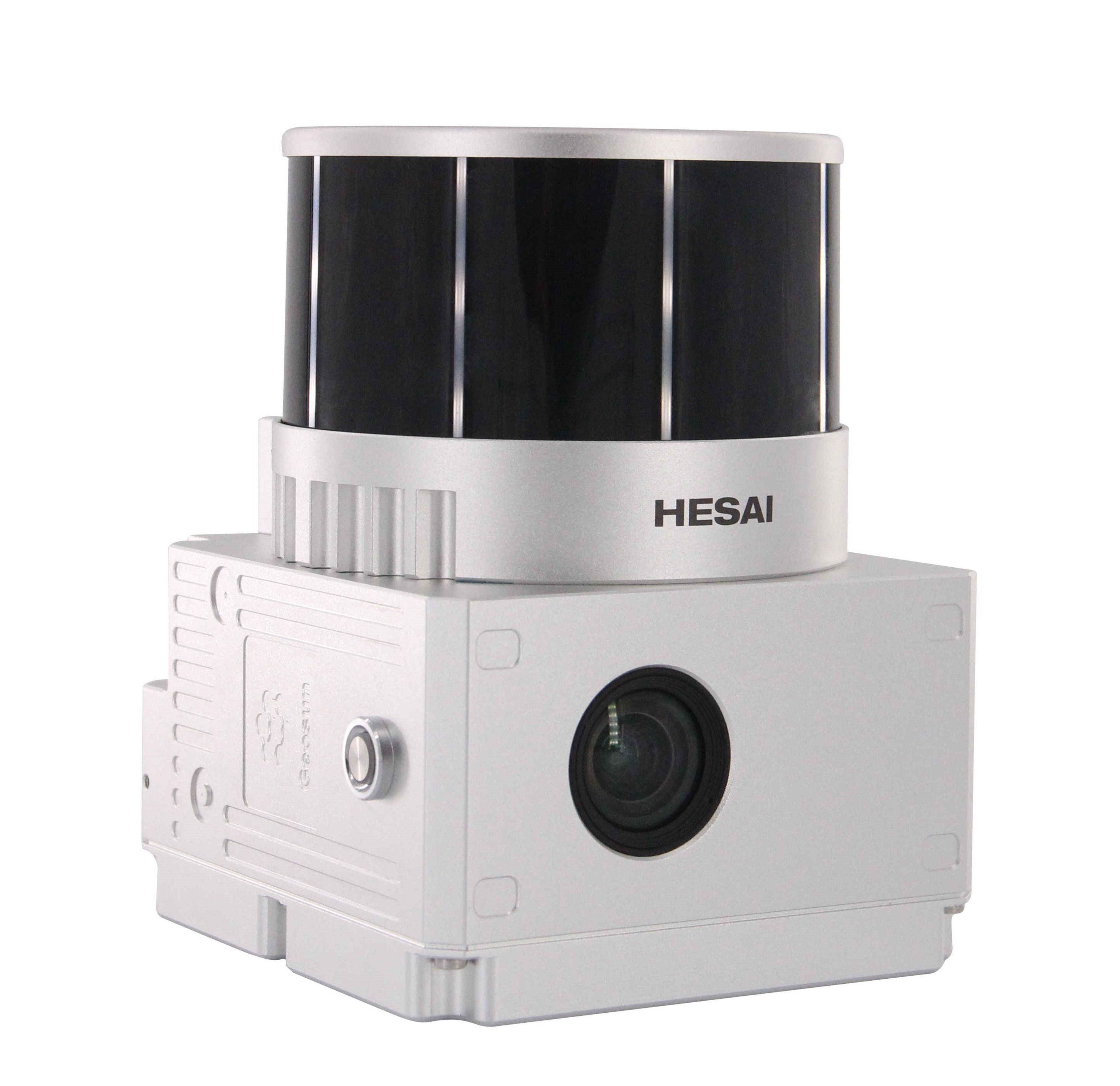
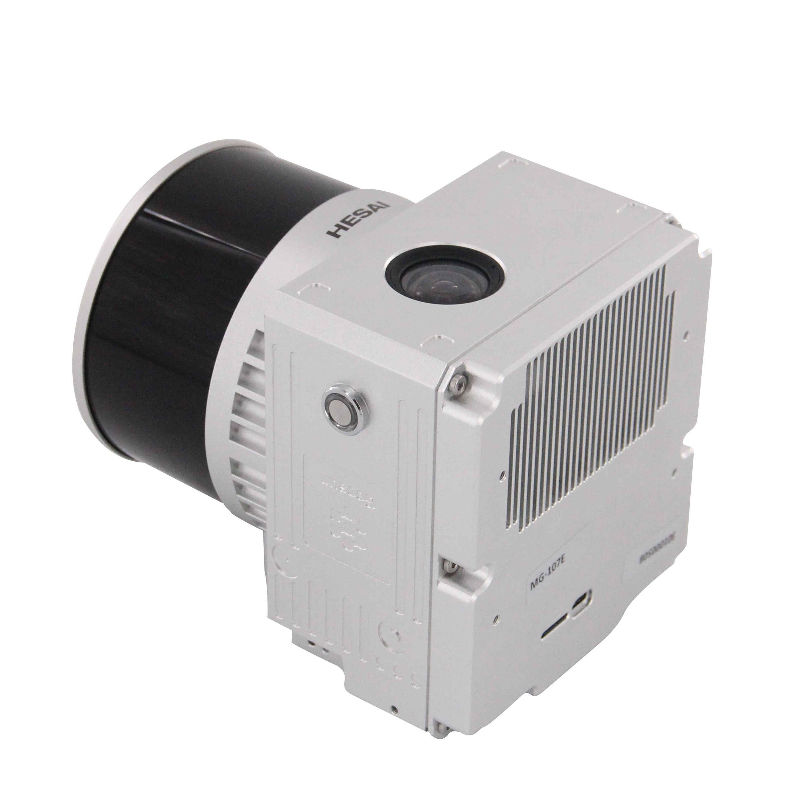
Geosun Lidars
Geosun LiDARs are a high-quality products that offers a combination of accuracy, speed, and efficiency.


New Wingtra LIDAR
Perfectly integrated with the WingtraOne GEN II drone to ensure a streamlined workflow.

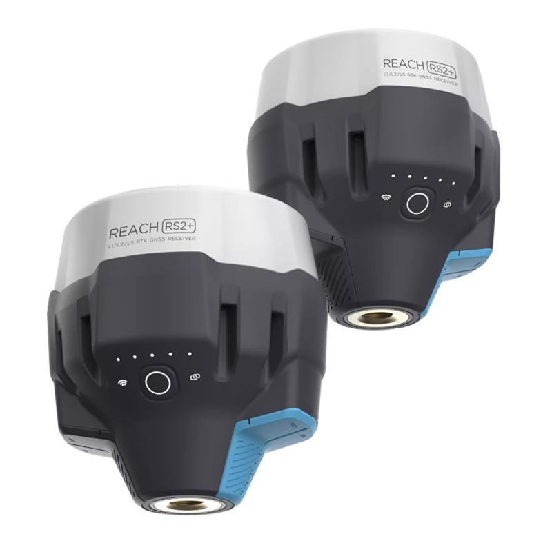
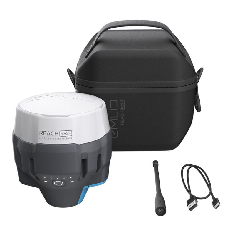
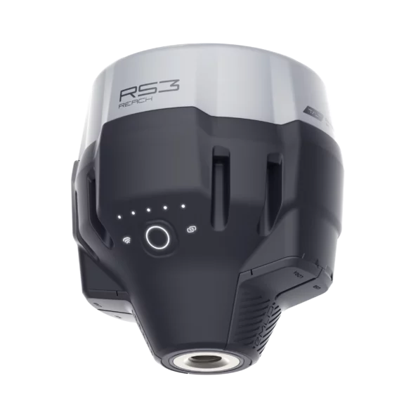
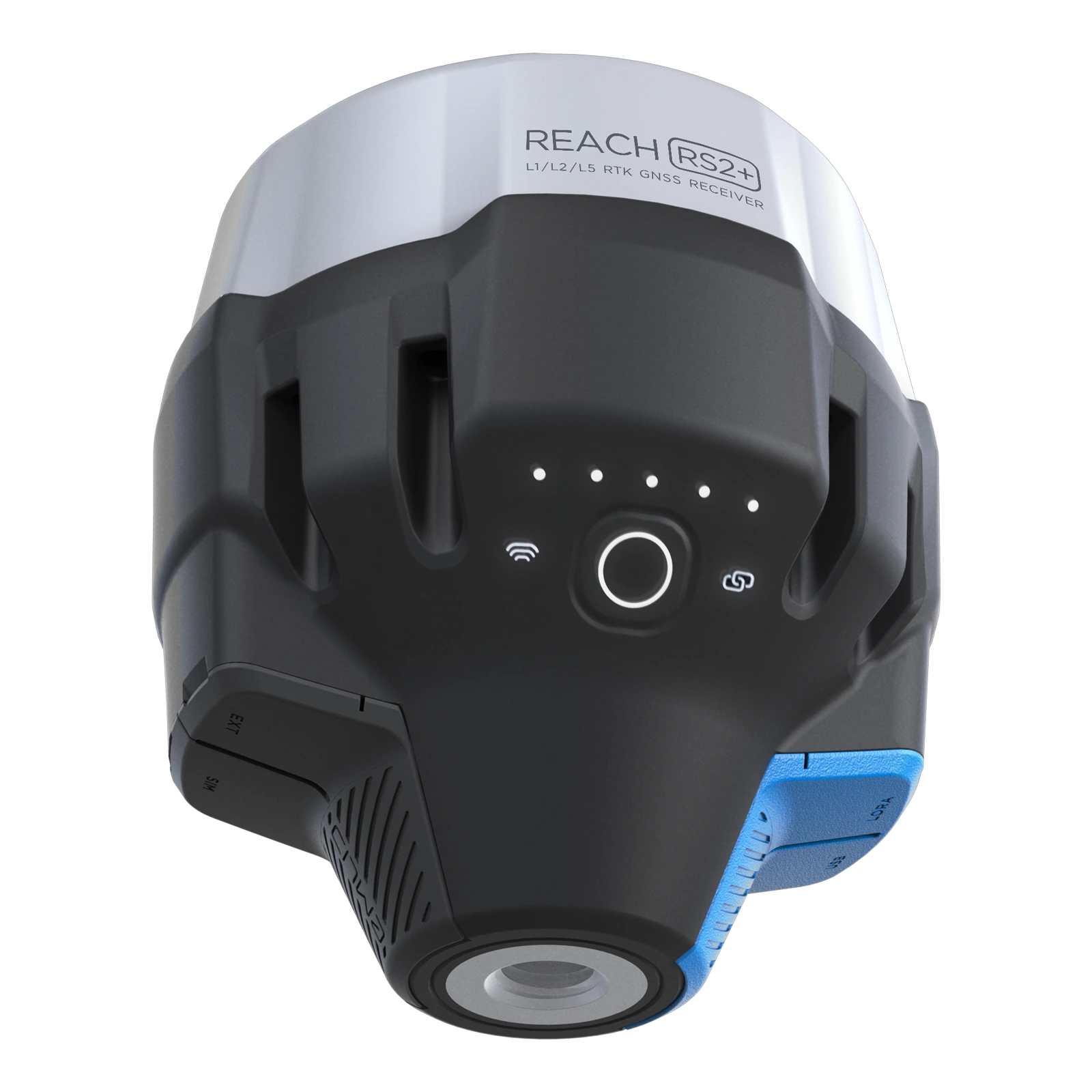
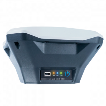
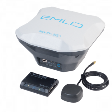
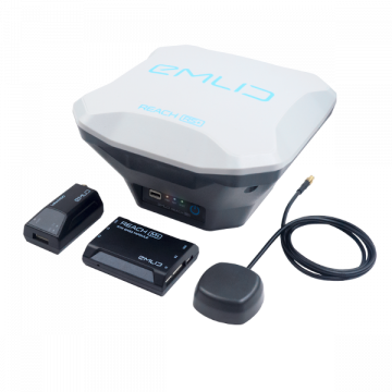
New Emlid Reach RS3
Multi-band base and rover
IMU tilt compensation
LTE modem
Dual-band radio
IMU tilt compensation
LTE modem
Dual-band radio

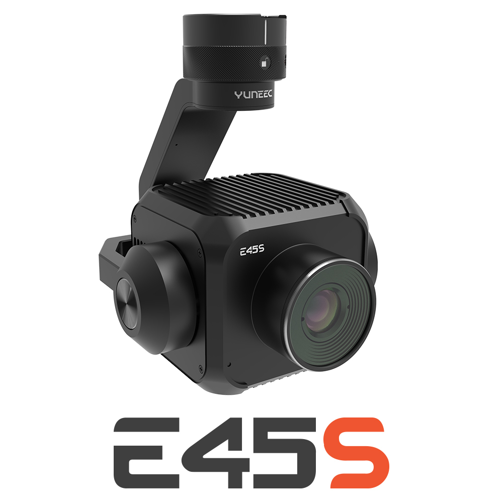
New Yuneec E45S for H510E and H850
Yuneec launched E45S 45MP full frame camera, ideal for professionals in survey and inspection industry!
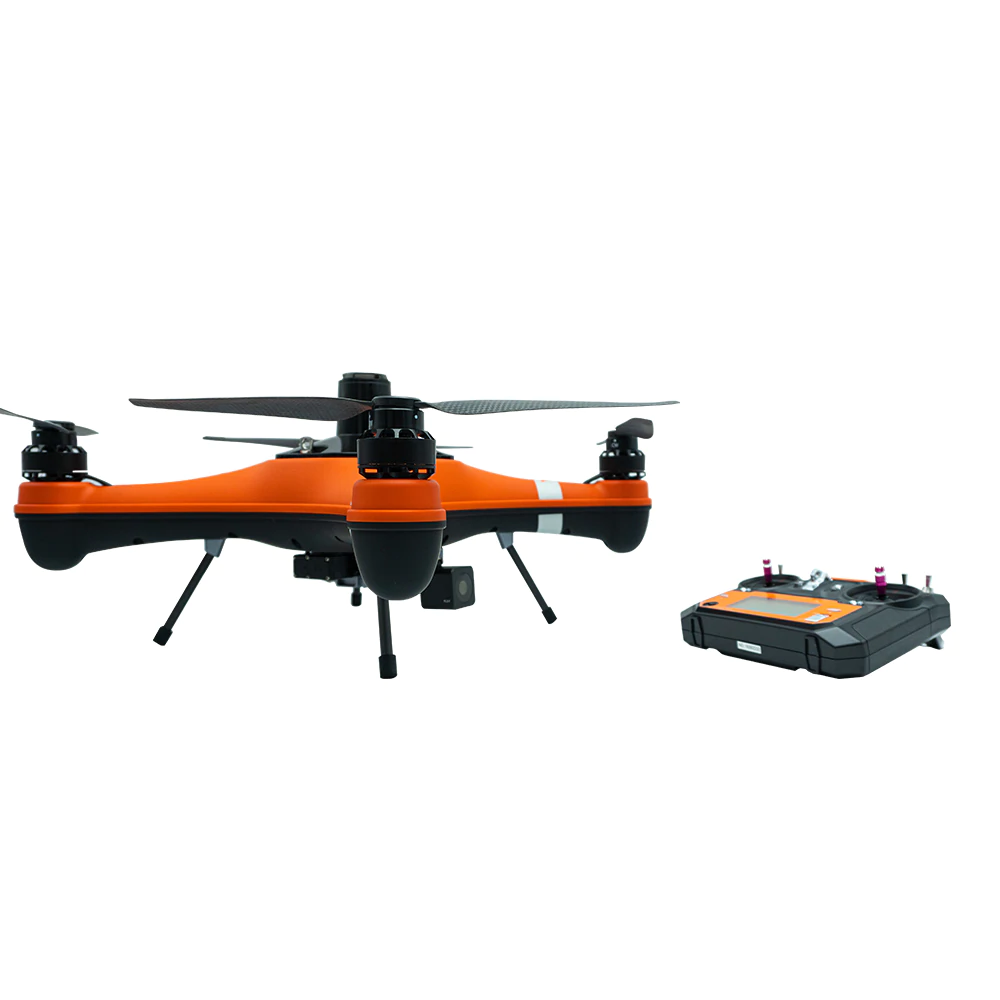
New Swellpro Fisherman MAX
Launch of Fisherman Max is now available for pre-order and shipping starts on August 1st.


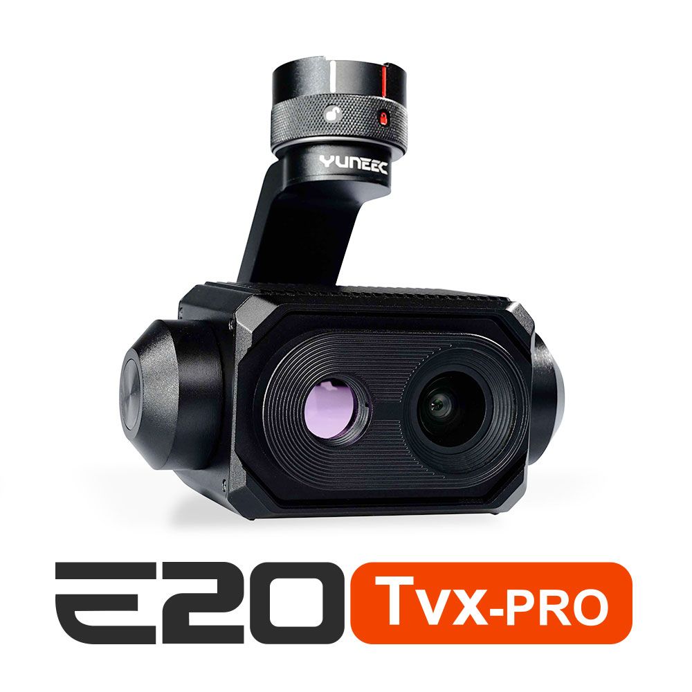
New E20TVX-PRO Thermal camera
Recommended camera for tasks related to Inspection (buildings, solar panels and powerlines), Search and Rescue, Firefighting and Law enforcement

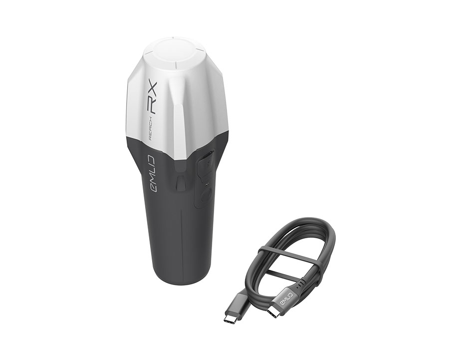
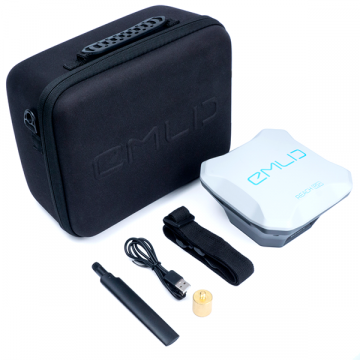
New Emlid Reach RX rover
Emlid Reach RX is a new pocket-sized, lightweight and easy-to-use receiver!

 Surveying & GIS
-
 Vista Rápida
 -
 Vista Rápida
 -
 Vista Rápida
 -
 Vista Rápida
 -
 Vista Rápida
 -
 Vista Rápida
 -
 Vista Rápida
 Mining & Quarries
-
Vista Rápida
-
Vista Rápida
-
Vista Rápida
-
Vista Rápida
-
Vista Rápida
-
Vista Rápida
-
Vista Rápida
 Construction
-
Vista Rápida
-
Vista Rápida
-
Vista Rápida
-
Vista Rápida
-
Vista Rápida
-
Vista Rápida
-
Vista Rápida
 Agriculture
-
Vista Rápida
-
Vista Rápida
-
Vista Rápida
-
Vista Rápida
-
Vista Rápida
-
Vista Rápida
-
 Vista Rápida
 Environment monitoring
-
Vista Rápida
-
Vista Rápida
-
Vista Rápida
-
Vista Rápida
-
Vista Rápida
-
Vista Rápida
-
Vista Rápida
 Search & Rescue
-
Vista Rápida
-
Vista Rápida
-
Vista Rápida
-
Vista Rápida
-
Vista Rápida
-
Vista Rápida
 Other applications
-
Sale!
 Vista Rápida
 -
Sale!
 Vista Rápida
 -
Sale!
 Vista Rápida
 -
 Vista Rápida
 -
 Vista Rápida
 -
Sale!
 Vista Rápida


Showing 1–16 of 109 results
Sale!
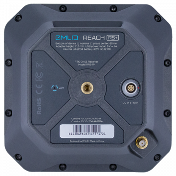
Emlid REACH RS+ GNSS Receiver
EMLID Reach RS+ is a RTK / GNSS receiver which works with all common satellite positioning systems (GPS, Galileo, GLONASS, BeiDou, QZSS und SBAS).
800,00 € (Exc.VAT)
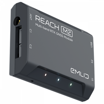
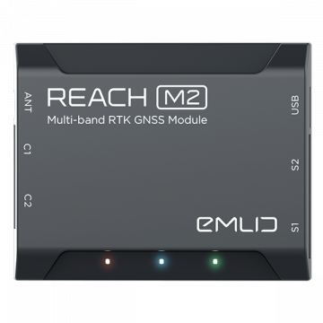
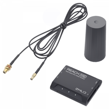
Emlid REACH M2
EMLID Reach M2 is a Multi-Band RTK GNSS module for precise navigation and UAV mapping without GCP which calculates real time coordinates with centimeter accuracy and streams them in NMEA or binary format to your device over UART, Bluetooth or WiFi.
649,00 € (Exc.VAT)
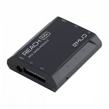
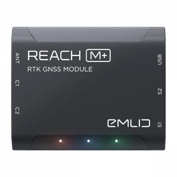
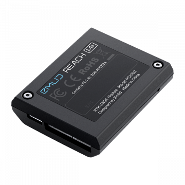
Emlid REACH M+
REACH M+ EMLID Reach M+ is a RTK GNSS module for precise navigation and UAV mapping without GCP which calculates real time coordinates with centimeter accuracy and streams them in NMEA or binary format to your device over UART, Bluetooth or WiFi.
329,00 € (Exc.VAT)
Emlid REACH M2 with Multi-band GNSS Antenna
EMLID Reach M2 witch Multi-band GNSS Antenna
(Price on request)
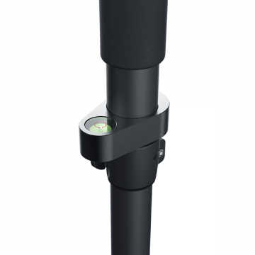
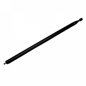
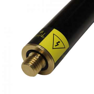
Carbon Pole for Reach RS2+ / RS2 / RS+
Carbon Pole for Reach RS2 / RS+ / RS in Meter & Feet
169,00 € (Exc.VAT)
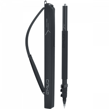
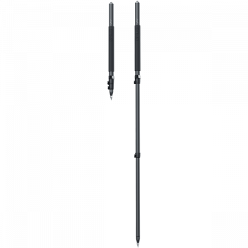
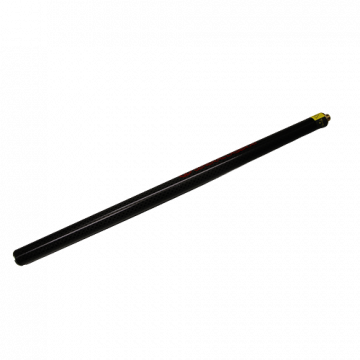
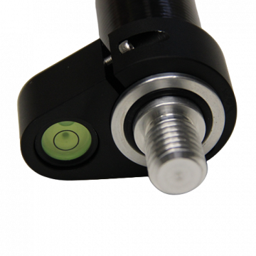
Survey Pole EMLID original for REACH RS2+ / RS2 /
A telescopic aluminum survey pole is designed for comfortable surveying. The three-section construction delivers reliable stability with the help of solid flip locks.
199,00 € (Exc.VAT)
TriPod for REACH RS2+ / RS2 / RS+ branded with
TriPod for EMLID Reach RS2 / RS+ / RS branded with Logo
148,00 € (Exc.VAT)
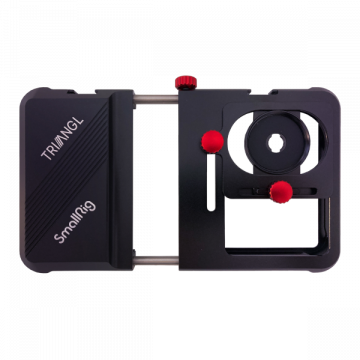
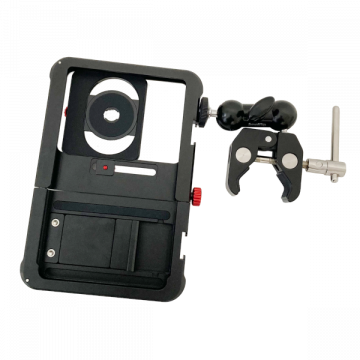
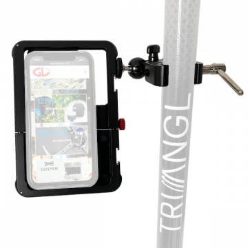
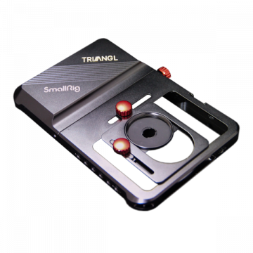
Phone mount comp. w/smartphone
Phone mount comp. w/smartphone width from 63.5mm to 87.5mm
177,00 € (Exc.VAT)
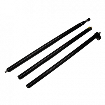
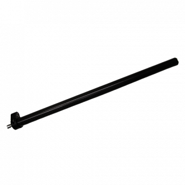
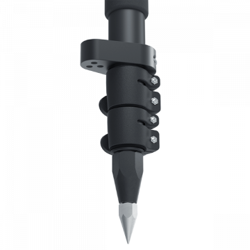
Pole 3 Parts Triangl
Triangl 3 parts carbon travel pole 2.02m with 5/8" male thread
169,00 € (Exc.VAT)
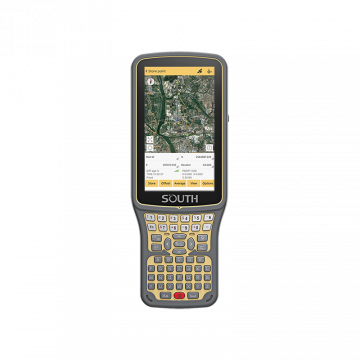
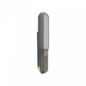
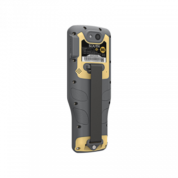
South H6
H6 is SOUTH new generation professional Android controller. It is installed Android 8.1 OS and adopts full QWERTY keypad with separate keys for 26 letters and numbers makes the input in the field more faster for most surveyors, and meanwhile, benefits them with higher efficiency and improved productivity.
795,00 € (Exc.VAT)
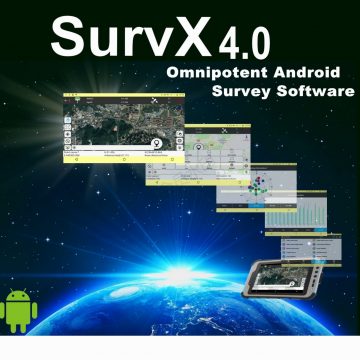
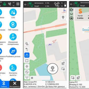
SURVx SOUTH for Android
SURVX is an Android GNSS surveying and mapping software application, based on years of accumulated market experience, combined with the benefits of international mainstream surveying and mapping softwares. Applications such a RTK control, GIS data collection, road design and google map view. SurvX has very outstanding graphic interaction functions, humanising operation processes and is easy to use.
495,00 € (Exc.VAT)

-
-
-
-
-
-
-
-
Sale!
 Vista Rápida

-
-
-
 Vista Rápida
 -
-
-
-
-
