


Solução Perfeita para obtenção de resultados únicos – O seu projeto nunca esteve em melhores mãos!

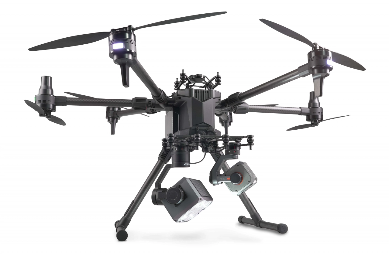
DJI Matrice 400
Designed for a wide range of industrial applications such as emergency response, power inspections, mapping, and architecture, engineering, and construction.

DJI Matrice 4E and 4T
The DJI Matrice 4E and Matrice 4T are both industrial-grade drones from DJI, designed specifically for professionals in fields like surveying, inspection, mapping and monitoring.

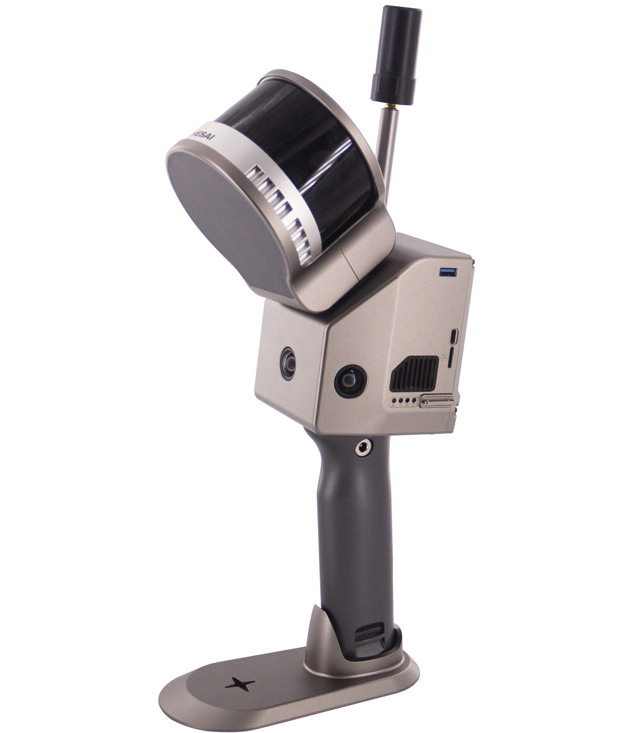
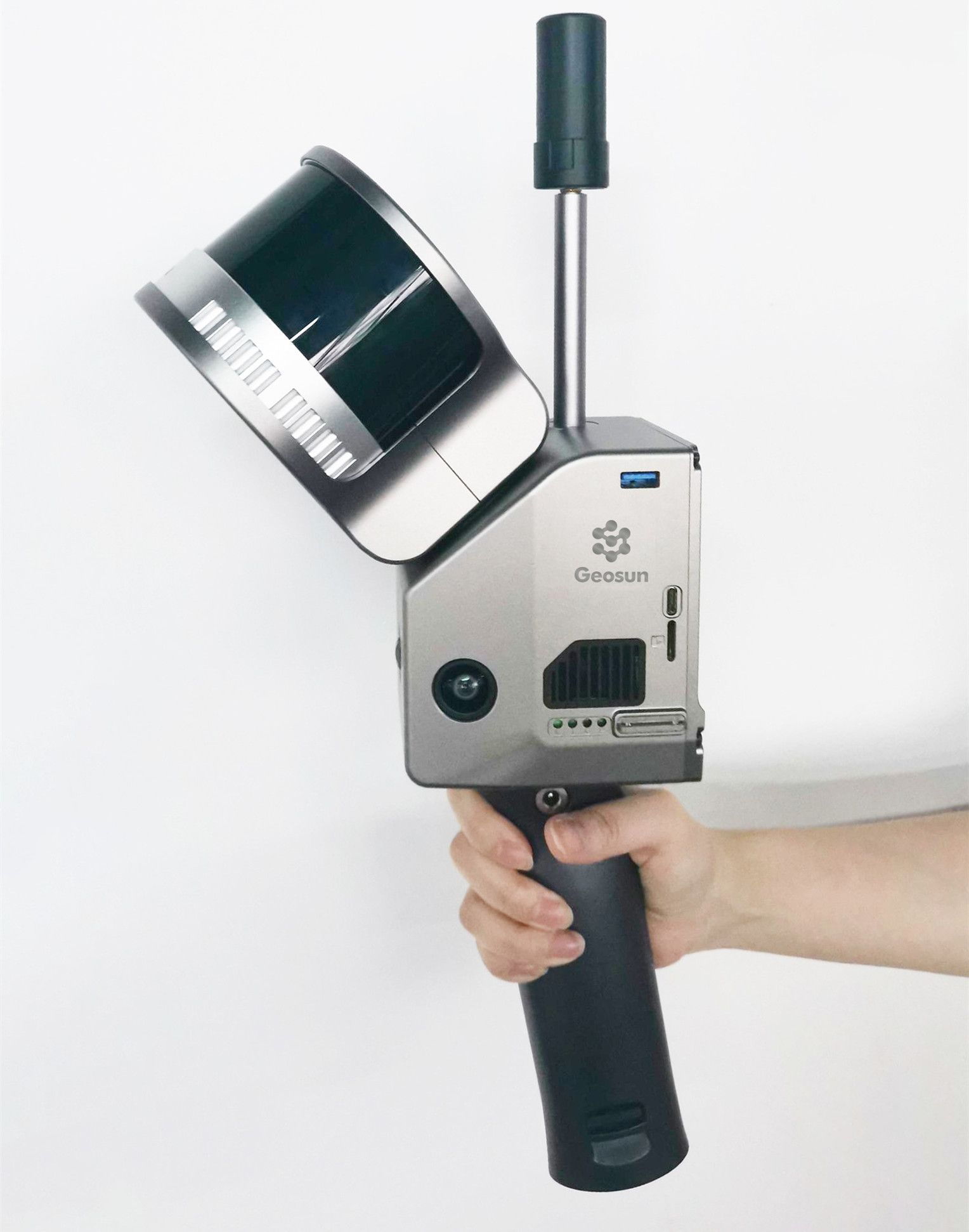
Geosun Lidars
Geosun LiDARs are a high-quality products that offers a combination of accuracy, speed, and efficiency.


New Wingtra LIDAR
Perfectly integrated with the WingtraOne GEN II drone to ensure a streamlined workflow.

New Emlid Reach RS3
Multi-band base and rover
IMU tilt compensation
LTE modem
Dual-band radio
IMU tilt compensation
LTE modem
Dual-band radio

 Surveying & GIS
-
 Vista Rápida
 -
 Vista Rápida
 -
 Vista Rápida
 -
 Vista Rápida
 -
 Vista Rápida
 -
Sale!
 Vista Rápida
 -
Vista Rápida
 Mining & Quarries
-
Vista Rápida
-
 Vista Rápida
 -
Vista Rápida
-
Sale!Vista Rápida
-
Vista Rápida
-
Vista Rápida
-
Vista Rápida
-
Vista Rápida
 Construction
-
Vista Rápida
-
Vista Rápida
-
Vista Rápida
-
Vista Rápida
-
Vista Rápida
-
Sale!Vista Rápida
-
Vista Rápida
-
Vista Rápida
 Agriculture
-
Vista Rápida
-
Vista Rápida
-
Vista Rápida
-
Vista Rápida
-
Vista Rápida
-
Vista Rápida
-
Vista Rápida
-
 Vista Rápida
 Environment monitoring
-
Vista Rápida
-
Vista Rápida
-
Vista Rápida
-
Sale!
 Vista Rápida
 -
Vista Rápida
-
Vista Rápida
-
Sale!Vista Rápida
 Search & Rescue
-
Sale!Vista Rápida
-
Sale!Vista Rápida
-
Vista Rápida
-
Vista Rápida
-
Vista Rápida
-
Vista Rápida
-
Vista Rápida
-
Vista Rápida
 Other applications
-
Sale!
 Vista Rápida
 -
 Vista Rápida
 -
Sale!Vista Rápida
-
 Vista Rápida
 -
Sale!
 Vista Rápida
 -
Sale!
 Vista Rápida
 -
 Vista Rápida


Showing 465–480 of 577 results
Sale!
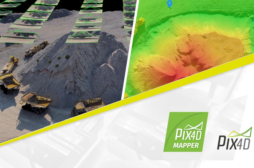
PIX4DCloud Advanced – Yearly Subscription
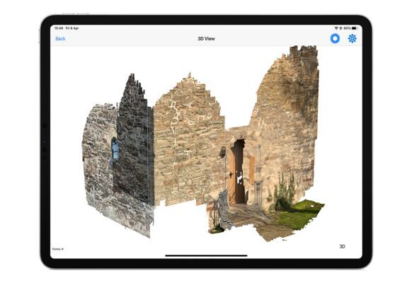
Pix4Dcloud is a web-based platform that utilizes cloud processing to turn drone and ground images into 2D and 3D deliverables. In simpler terms, it takes pictures captured by drones or even handheld cameras and turns them into useful products like maps, 3D models, and measurements.
2.720,90 € Exc.VAT (2.720,90 € Inc. 23% VAT)
Sale!
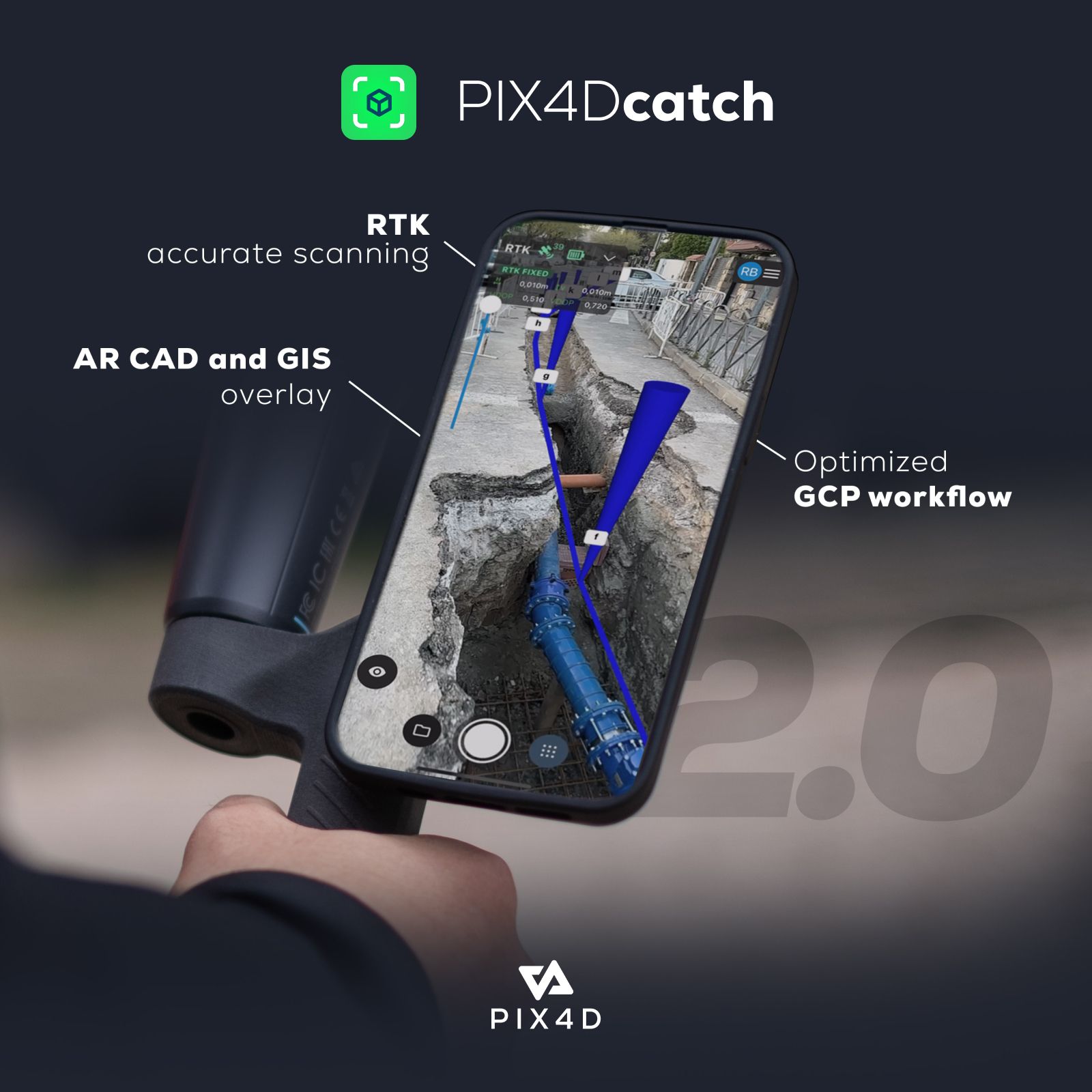
PIX4DCatch – 3-Year Subscription
PIX4Dcatch is a mobile app that lets you create 3D models of your surroundings using your smartphone. It uses a technique called photogrammetry to take multiple pictures of an object or scene and stitch them together to create a 3D model.
3.630,90 € Exc.VAT (3.630,90 € Inc. 23% VAT)
Sale!
PIX4DCatch – Yearly Subscription
PIX4Dcatch is a mobile app that lets you create 3D models of your surroundings using your smartphone. It uses a technique called photogrammetry to take multiple pictures of an object or scene and stitch them together to create a 3D model.
1.446,90 € Exc.VAT (1.446,90 € Inc. 23% VAT)
PIX4DCatch – Monthly Subscription
PIX4Dcatch is a mobile app that lets you create 3D models of your surroundings using your smartphone. It uses a technique called photogrammetry to take multiple pictures of an object or scene and stitch them together to create a 3D model.
199,00 € Exc.VAT (199,00 € Inc. 23% VAT)
Sale!
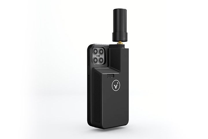
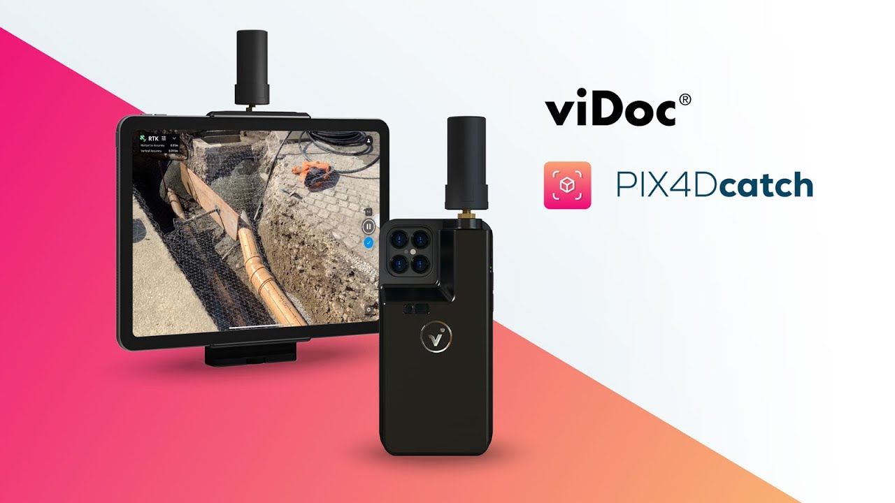
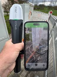
Pix4D viDoc
Pix4D viDoc is a mobile RTK (Real-Time Kinematic) rover designed to be used with Pix4Dcatch software to improve the accuracy of 3D models captured on the ground.
4.995,90 € Exc.VAT (4.995,90 € Inc. 23% VAT)

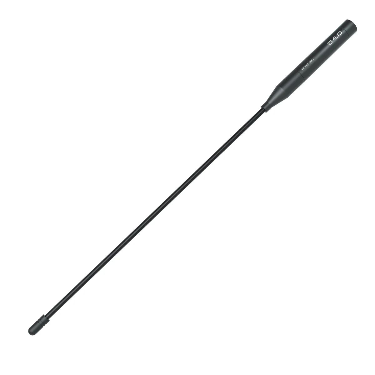
UHF antenna 410-470 MHz
Reach RS3 UHF antenna for receiving corrections over 410–470 MHz UHF radios
49,00 € Exc.VAT (49,00 € Inc. 23% VAT)
Sale!

Emlid Flow Survey Plan (Yearly subscription)
The Emlid Flow Survey Plan is a subscription service that unlocks advanced features for land surveying on the Emlid Flow platform. It's designed for users who need more than just basic point collection.
229,00 € Exc.VAT (229,00 € Inc. 23% VAT)
Emlid Flow Survey Plan (Monthly subscription)
The Emlid Flow Survey Plan is a subscription service that unlocks advanced features for land surveying on the Emlid Flow platform. It's designed for users who need more than just basic point collection.
29,00 € Exc.VAT (29,00 € Inc. 23% VAT)
Sale!
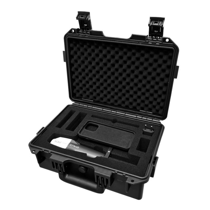
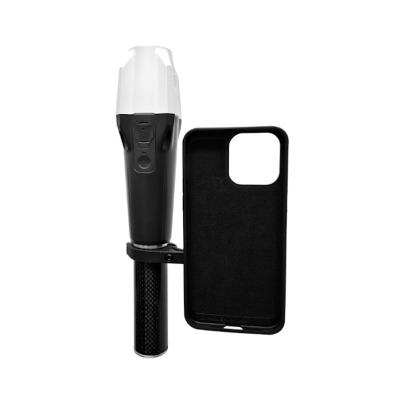
Emlid RX Iphone Kit
A powerful combination of the pocket-sized Emlid Reach RX RTK receiver with a phone holder, in a rugged case, with the GIS Apps GeoAce and/or ScanAce from ITS Geo and an iPhone Pro or iPad Pro. Compatible with: iPad Pro (2020, 2021, or later), iPhone 12-15 Pro, iPhone 12-15 Pro Max. Recommended to be used with Geoace and ScanAce software.
1.999,00 € Exc.VAT (1.999,00 € Inc. 23% VAT)
Sale!
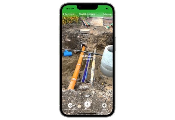
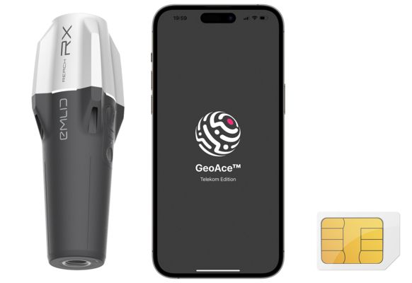
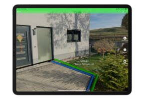
GeoAce – Perpetual License
GeoAce turns your smartphone or tablet into a precise, centimeter-accurate surveying system, without the need to use GNSS receivers or total stations. Kit online available for the software - Emlid RX Iphone Kit
2.160,00 € Exc.VAT (2.160,00 € Inc. 23% VAT)
Sale!
ScanAce – Perpetual License
ScanAce by ITS Geo Solutions is a professional 3D scanning application designed for use on smartphones and tablets. It caters to various fields including surveying, construction, utilities, archaeology, architecture, and GIS (Geographic Information Systems). Kit online available for the software - Emlid RX Iphone Kit
2.484,00 € Exc.VAT (2.484,00 € Inc. 23% VAT)
Sale!
GeoAce + ScanAce Bundle – Perpetual License
Bundle including GeoAce and ScanAce software, Permanent licenses. Kit online available for the software - Emlid RX Iphone Kit
2.880,00 € Exc.VAT (2.880,00 € Inc. 23% VAT)
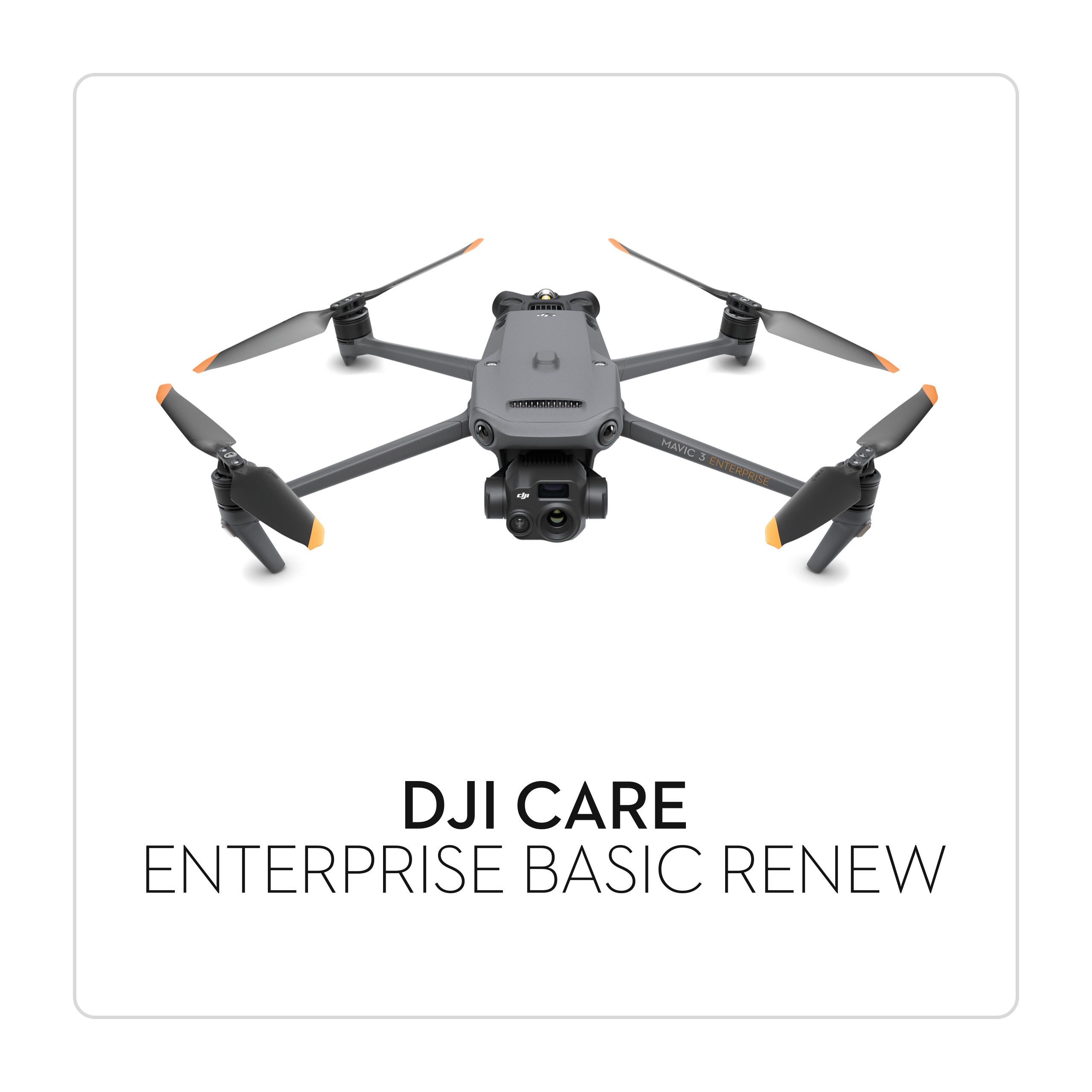
DJI Care Enterprise PLUS – Mavic 3T
1.016,00 € Exc.VAT (1.016,00 € Inc. 23% VAT)
DJI Care Enterprise PLUS – Mavic 3T
DJI Care Enterprise PLUS is a comprehensive service plan designed specifically for the DJI Mavic 3T, offering extensive coverage and peace of mind for enterprise users. This premium protection plan ensures that your investment is safeguarded against accidental damage, providing you with the confidence to operate your drone in challenging environments.
1.016,00 € Exc.VAT (1.016,00 € Inc. 23% VAT)
DJI Care Enterprise PLUS – Mavic 3M
833,00 € Exc.VAT (833,00 € Inc. 23% VAT)
DJI Care Enterprise PLUS – Mavic 3M
DJI Care Enterprise PLUS is a comprehensive service plan designed specifically for the DJI Mavic 3M, offering extensive coverage and peace of mind for enterprise users. This premium protection plan ensures that your investment is safeguarded against accidental damage, providing you with the confidence to operate your drone in challenging environments.
833,00 € Exc.VAT (833,00 € Inc. 23% VAT)
DJI Care Enterprise PLUS – Mavic 3E
650,00 € Exc.VAT (650,00 € Inc. 23% VAT)
DJI Care Enterprise PLUS – Mavic 3E
DJI Care Enterprise PLUS is a comprehensive service plan designed specifically for the DJI Mavic 3E, offering extensive coverage and peace of mind for enterprise users. This premium protection plan ensures that your investment is safeguarded against accidental damage, providing you with the confidence to operate your drone in challenging environments.
650,00 € Exc.VAT (650,00 € Inc. 23% VAT)
DJI Care Enterprise BASIC – Mavic 3M
416,00 € Exc.VAT (416,00 € Inc. 23% VAT)
DJI Care Enterprise BASIC – Mavic 3M
DJI Care Enterprise BASIC is a comprehensive service plan designed specifically for the DJI Mavic 3E, offering extensive coverage and peace of mind for enterprise users. This premium protection plan ensures that your investment is safeguarded against accidental damage, providing you with the confidence to operate your drone in challenging environments.
416,00 € Exc.VAT (416,00 € Inc. 23% VAT)

-
-
Sale!

 Vista Rápida
 -
-
-
-
Sale!
 Vista Rápida
 -
Sale!
 Vista Rápida
 -
Sale!
 Vista Rápida

-
 Vista Rápida
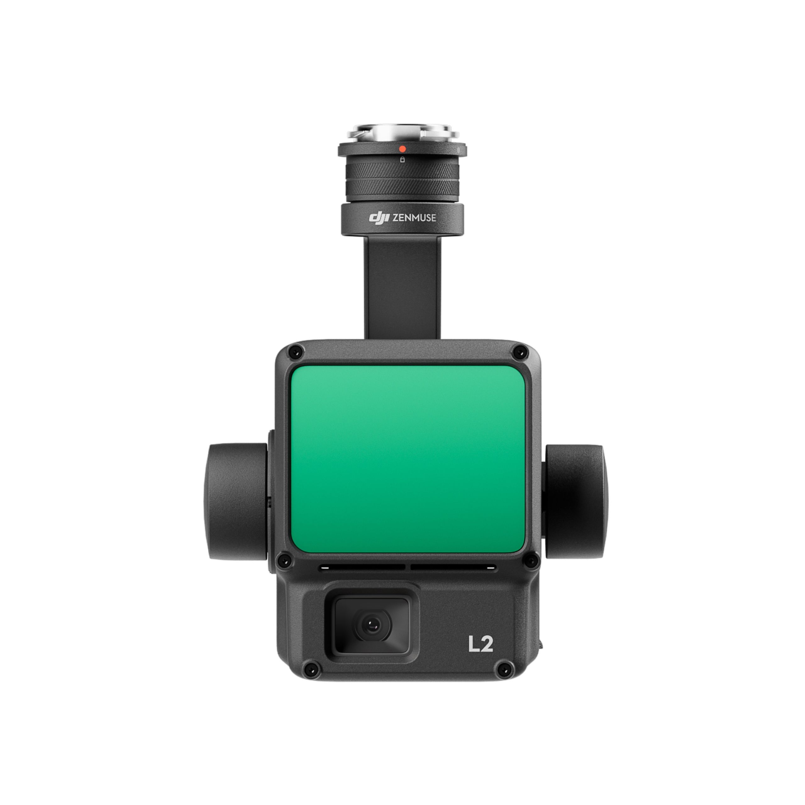
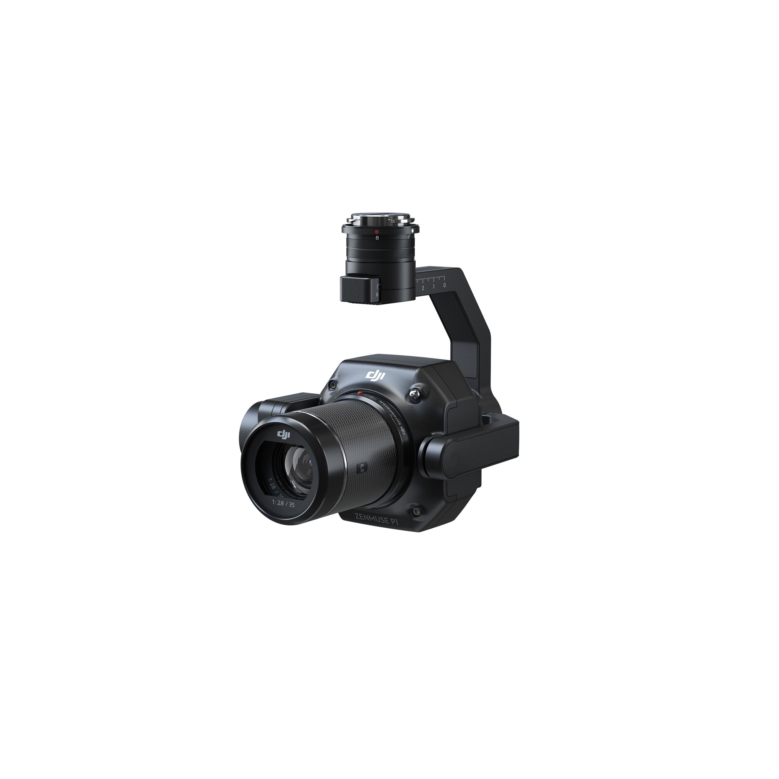
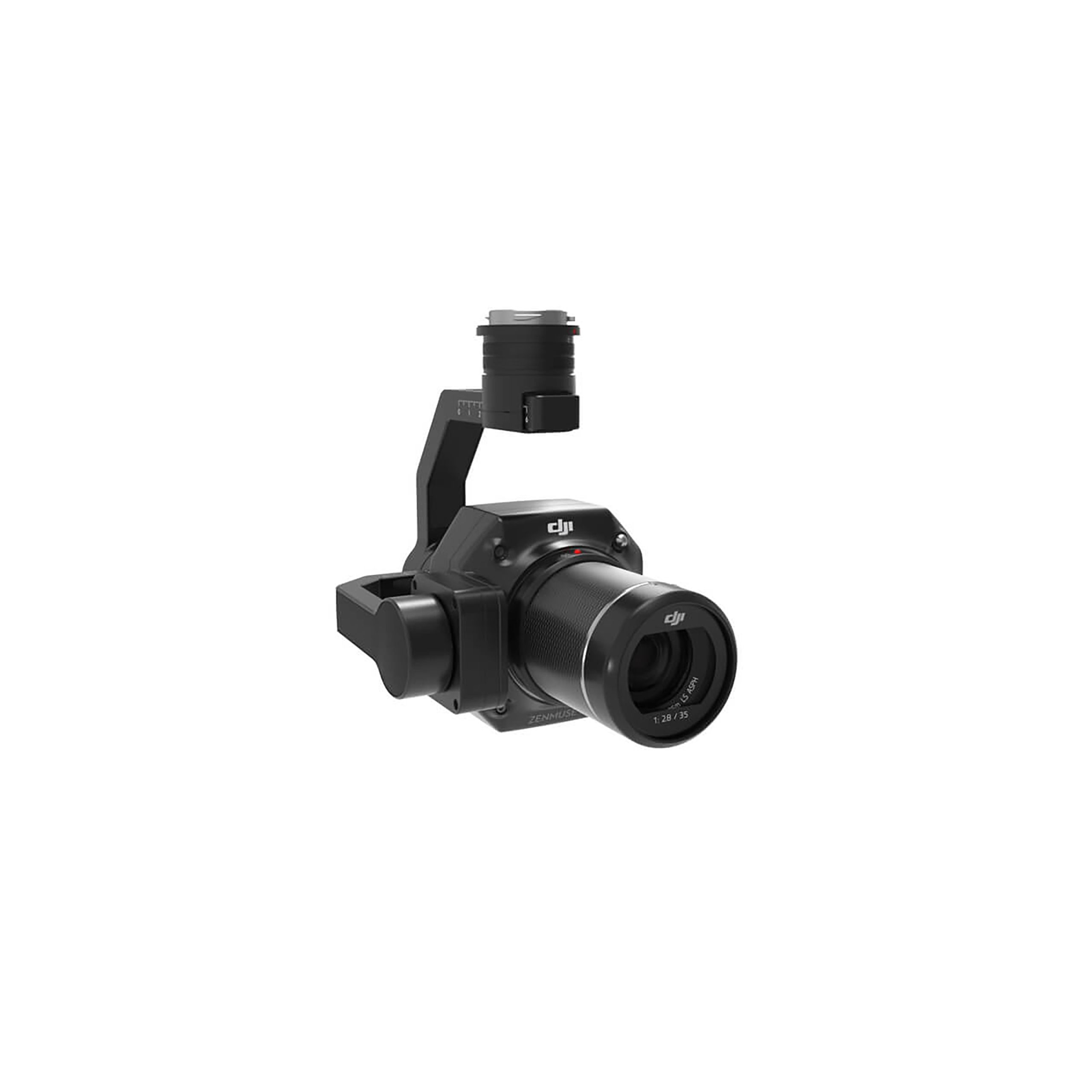
DJI Zenmuse L2 Worry-Free Basic Combo
Accessories DJI Matrice 350 RTK 10.813,01 € Exc.VAT (10.813,01 € Inc. 23% VAT) -
 Vista Rápida
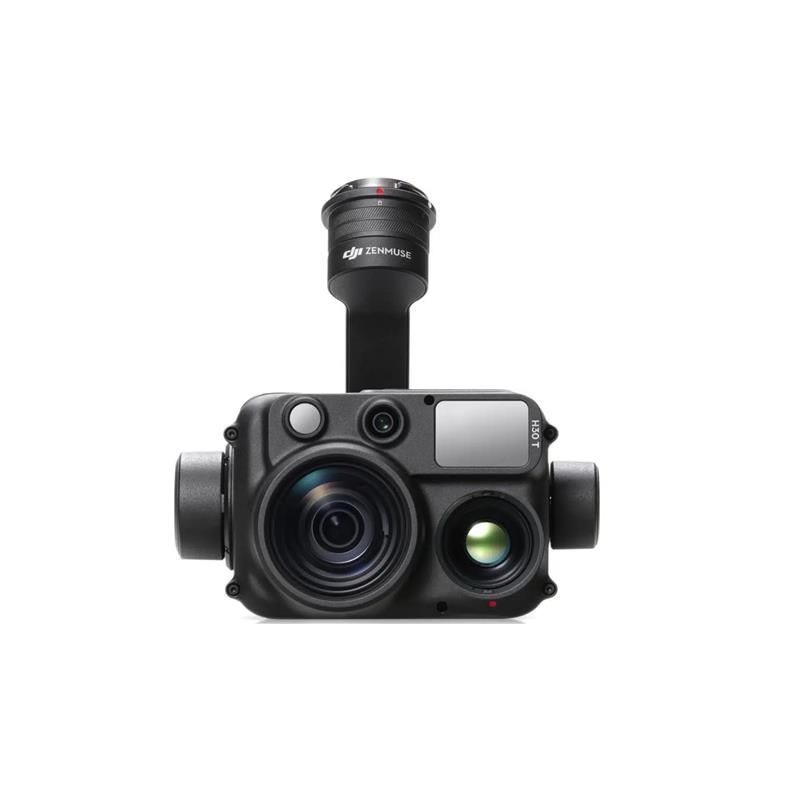
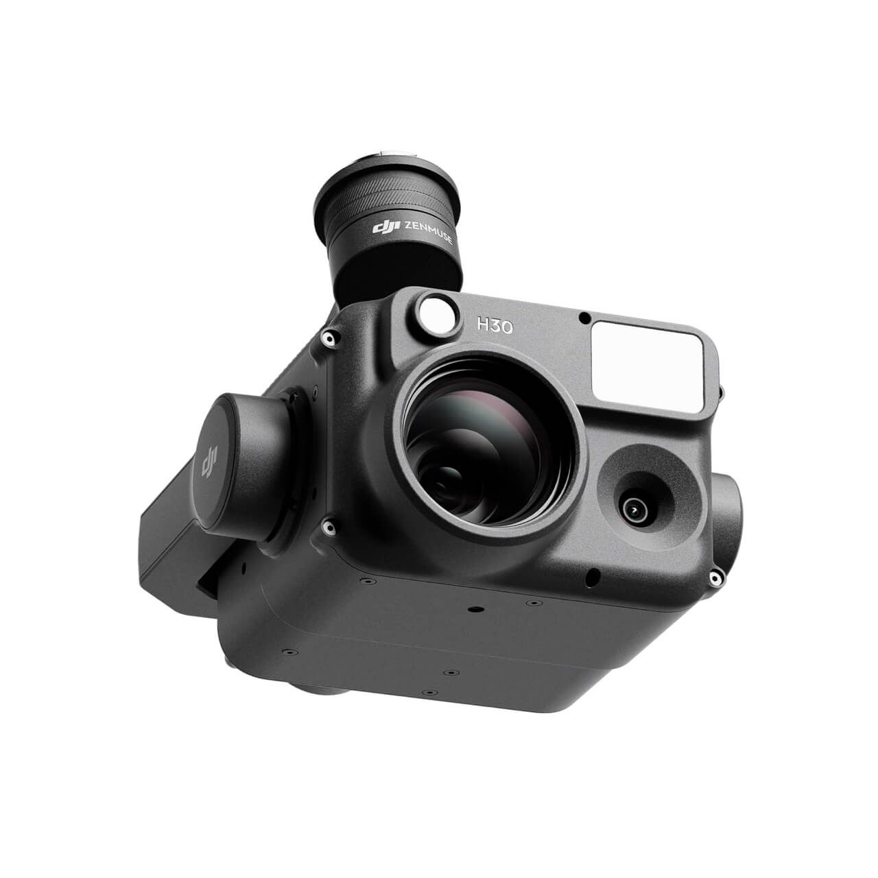
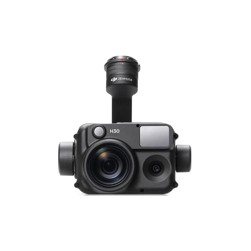
DJI Zenmuse H30T Worry-Free Basic Combo
Accessories DJI Matrice 300 RTK 10.608,94 € Exc.VAT (10.608,94 € Inc. 23% VAT) -
 Vista Rápida
 -
 Vista Rápida
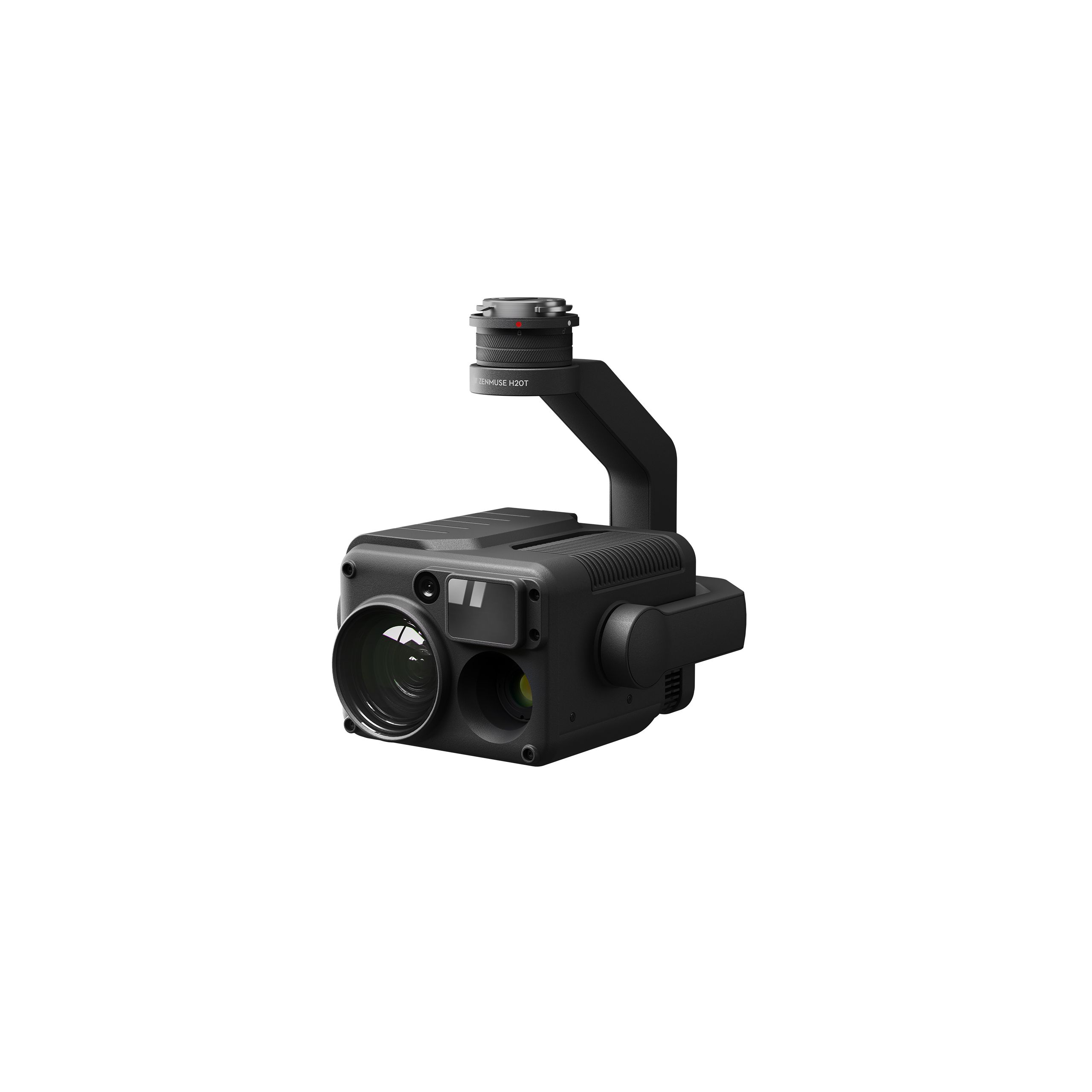
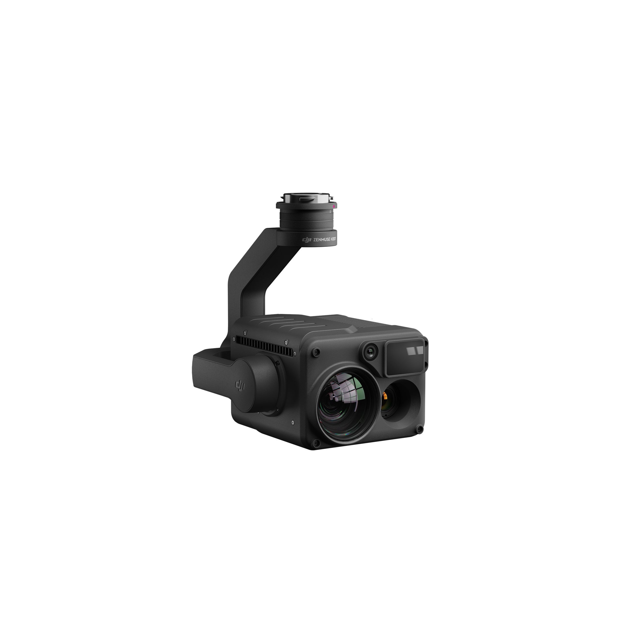
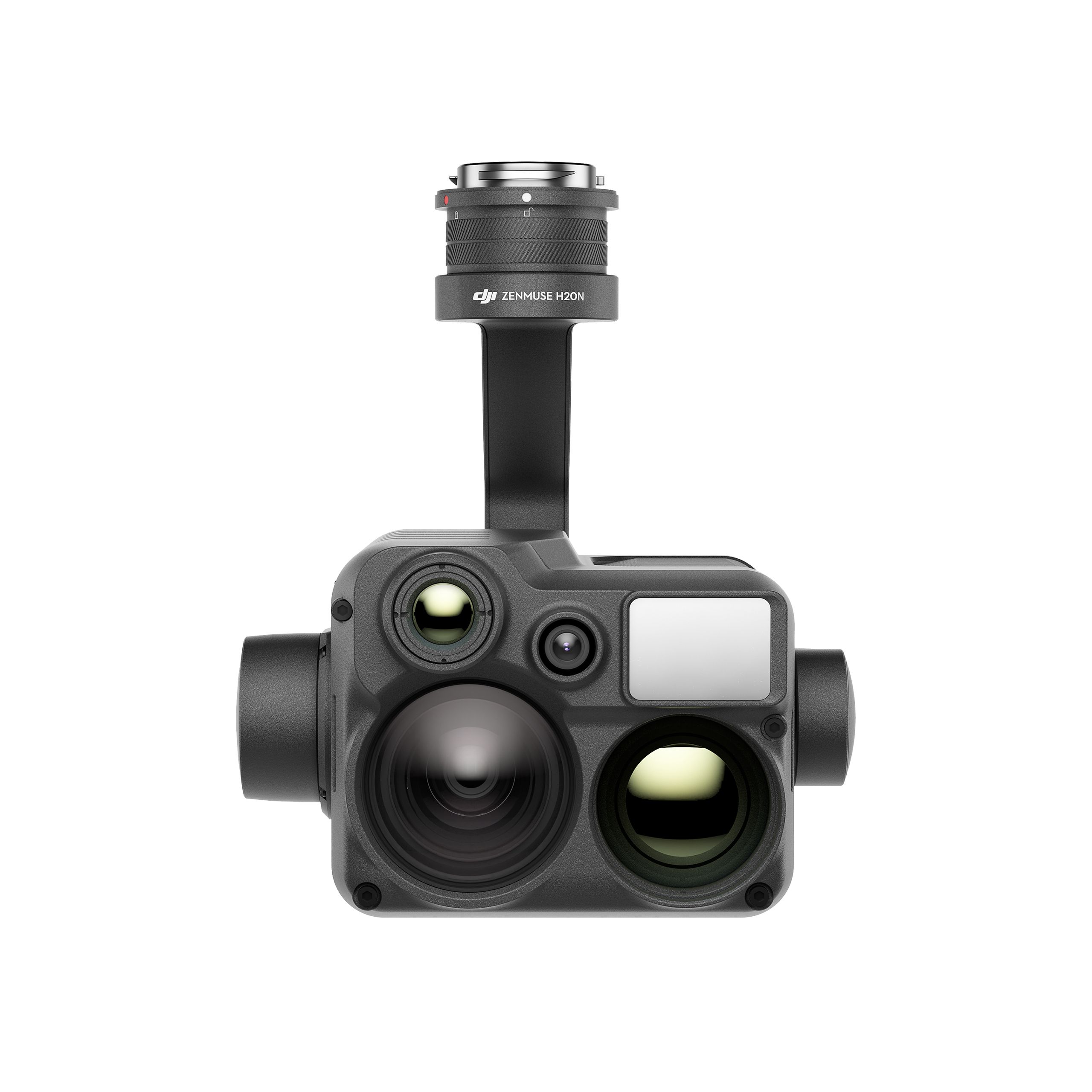
DJI Zenmuse H20N Worry-Free Basic Combo
Accessories DJI Matrice 350 RTK 9.987,80 € Exc.VAT (9.987,80 € Inc. 23% VAT) -
 Vista Rápida
 -
 Vista Rápida
DJI Zenmuse H30 Worry-Free Plus Combo
Accessories DJI Matrice 350 RTK 4.382,11 € Exc.VAT (4.382,11 € Inc. 23% VAT) -
Vista Rápida
DJI Zenmuse H30 Worry-Free Basic Combo
Accessories DJI Matrice 350 RTK 4.045,53 € Exc.VAT (4.045,53 € Inc. 23% VAT) -
 Vista Rápida
-
Vista Rápida
DJI Matrice 350 RTK-Worry-Free Basic Combo
DJI Matrice 350 RTK 10.161,79 € Exc.VAT (10.161,79 € Inc. 23% VAT) -
-
-
-
-
Sale!
 Vista Rápida
 -
 Vista Rápida
DJI Mavic 3M (Multispectral) – Free Basic Combo – 1 Year
DJI 3.727,64 € Exc.VAT (3.727,64 € Inc. 23% VAT) -
Vista Rápida
-
Sale!
 Vista Rápida
 -
Sale!Vista Rápida
-
 Vista Rápida
 -
Vista Rápida
-
Vista Rápida
Global Mapper Pro Single User – Floating License
Blue Marble 2.172,50 € Exc.VAT (2.172,50 € Inc. 23% VAT) -
Vista Rápida
Global Mapper Pro Single User – Node Locked
Blue Marble 1.599,00 € Exc.VAT (1.599,00 € Inc. 23% VAT) -
Vista Rápida
-
 Vista Rápida
Agisoft Metashape Standard, Node-Locked Educational license, Single
Agisoft 54,00 € Exc.VAT (54,00 € Inc. 23% VAT)
