


Solução Perfeita para obtenção de resultados únicos – O seu projeto nunca esteve em melhores mãos!

DJI Matrice 400
Designed for a wide range of industrial applications such as emergency response, power inspections, mapping, and architecture, engineering, and construction.

DJI Matrice 4E and 4T
The DJI Matrice 4E and Matrice 4T are both industrial-grade drones from DJI, designed specifically for professionals in fields like surveying, inspection, mapping and monitoring.

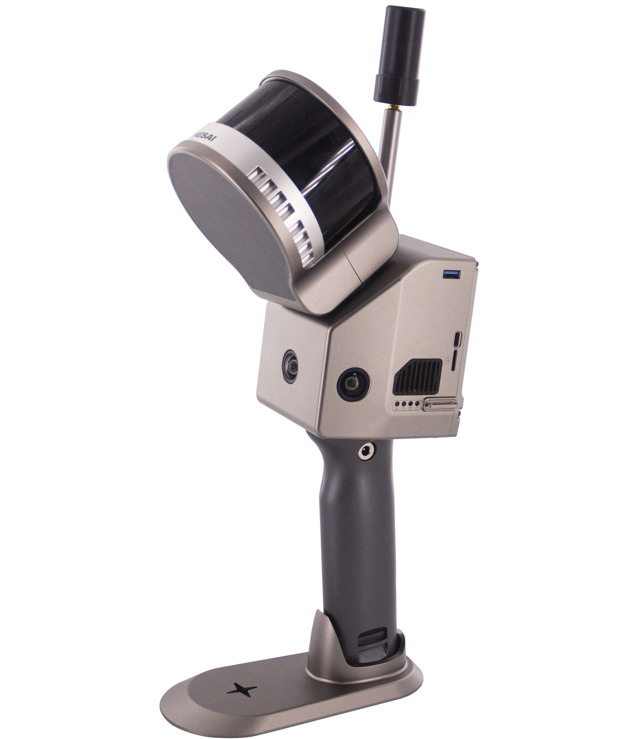
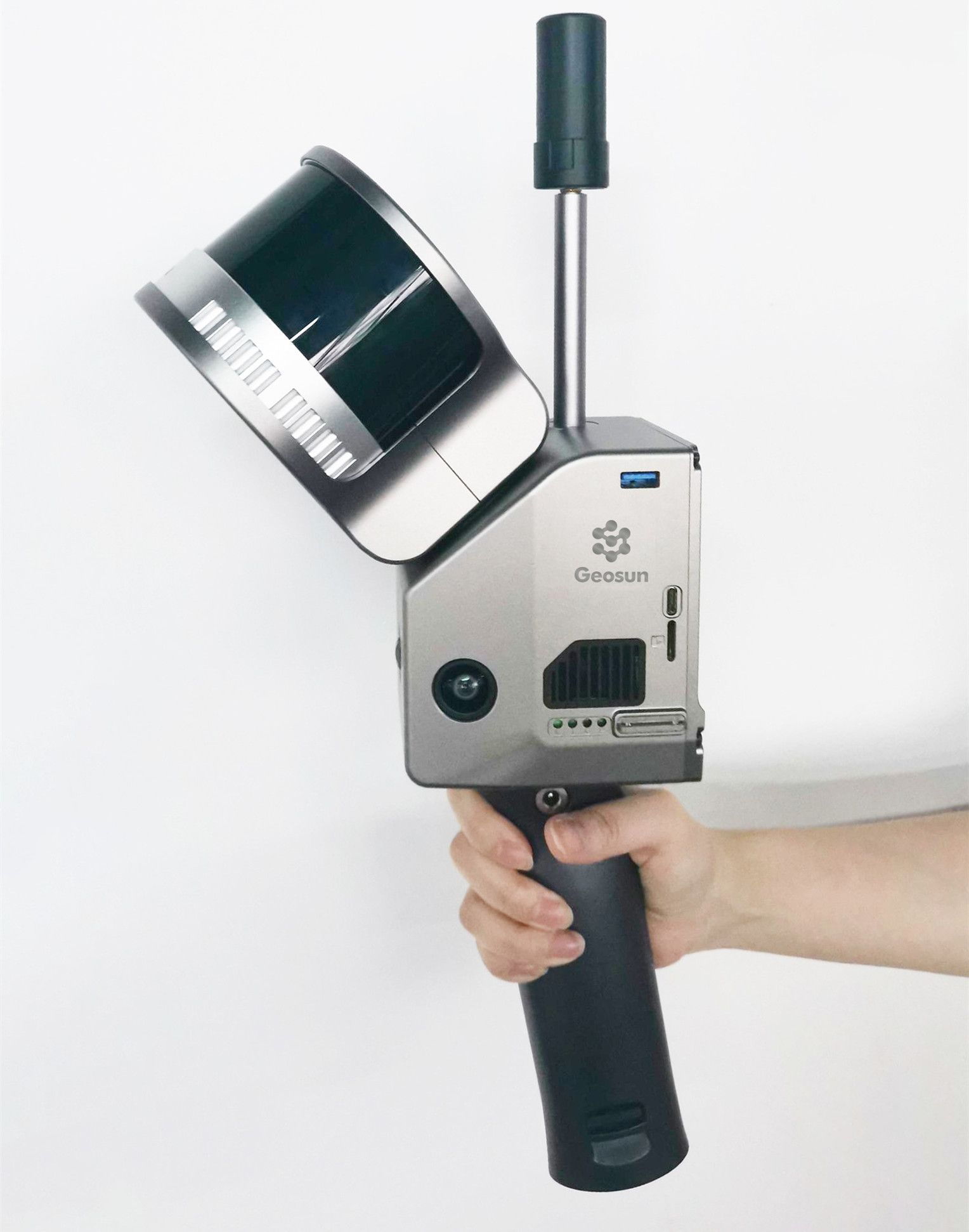
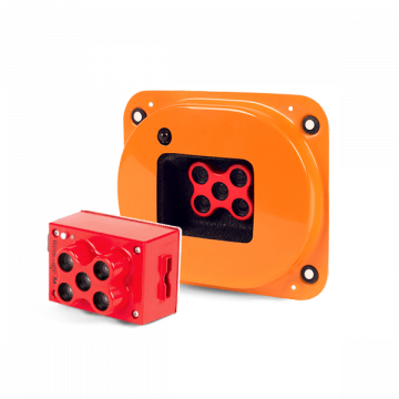
Geosun Lidars
Geosun LiDARs are a high-quality products that offers a combination of accuracy, speed, and efficiency.


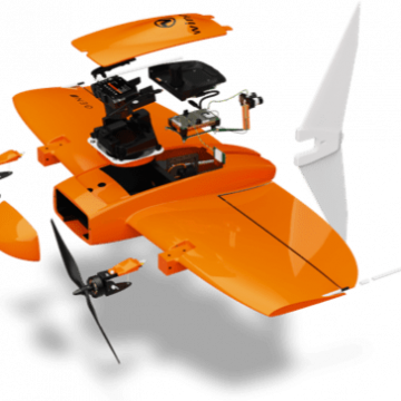
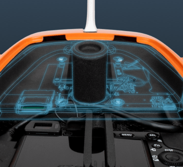
New Wingtra LIDAR
Perfectly integrated with the WingtraOne GEN II drone to ensure a streamlined workflow.

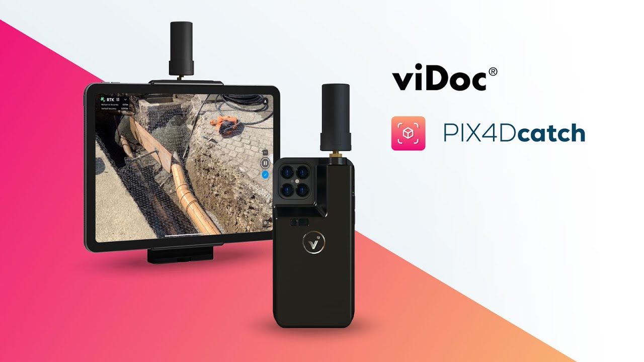
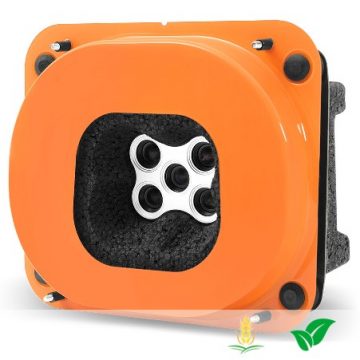
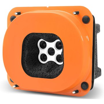
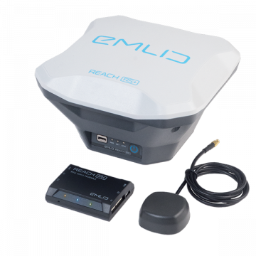
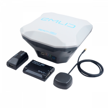
New Emlid Reach RS3
Multi-band base and rover
IMU tilt compensation
LTE modem
Dual-band radio
IMU tilt compensation
LTE modem
Dual-band radio

 Surveying & GIS
-
 Vista Rápida
 -
Sale!Vista Rápida
-
 Vista Rápida
 -
 Vista Rápida
 -
 Vista Rápida
 -
 Vista Rápida
 -
 Vista Rápida
 -
 Vista Rápida
 Mining & Quarries
-
Vista Rápida
-
Vista Rápida
-
Vista Rápida
-
Vista Rápida
-
Sale!Vista Rápida
-
Vista Rápida
-
Vista Rápida
-
Vista Rápida
 Construction
-
Vista Rápida
-
Vista Rápida
-
Vista Rápida
-
Vista Rápida
-
Sale!Vista Rápida
-
Vista Rápida
-
Vista Rápida
-
Vista Rápida
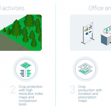
 Agriculture
-
Sale!Vista Rápida
-
Vista Rápida
-
Vista Rápida
-
Vista Rápida
-
Vista Rápida
-
Vista Rápida
-
 Vista Rápida
 -
Vista Rápida
-
Vista Rápida
 Environment monitoring
-
Vista Rápida
-
Vista Rápida
-
Vista Rápida
-
Vista Rápida
-
Vista Rápida
-
Vista Rápida
-
Sale!Vista Rápida
 Search & Rescue
-
Vista Rápida
-
Vista Rápida
-
Sale!Vista Rápida
-
Vista Rápida
-
Vista Rápida
-
Vista Rápida
 Other applications
-
 Vista Rápida
 -
 Vista Rápida
 -
Sale!
 Vista Rápida
 -
Sale!
 Vista Rápida
 -
Sale!
 Vista Rápida
 -
 Vista Rápida


Showing 1–16 of 579 results
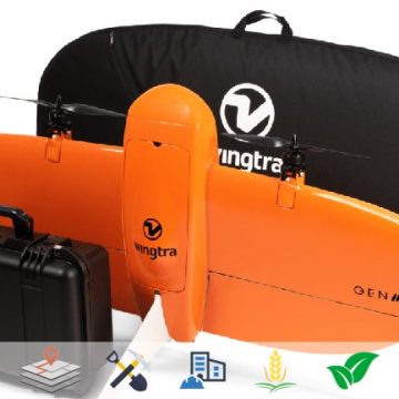
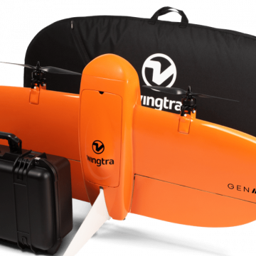
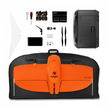
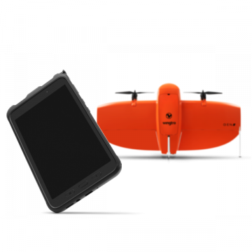
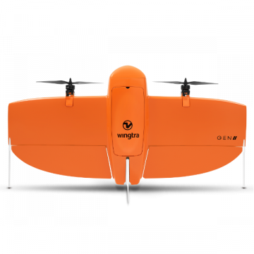
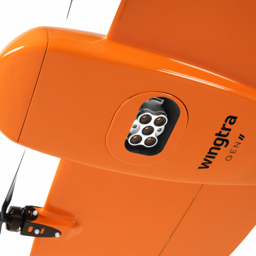

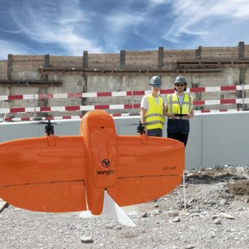
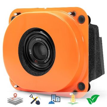
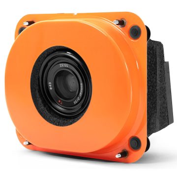
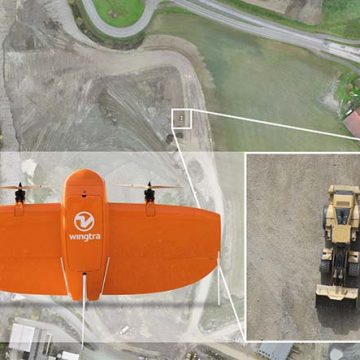
WingtraOne GENII VTOL
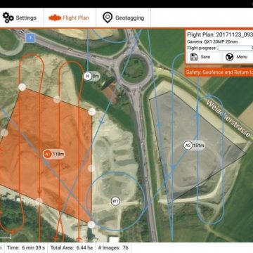
WingtraOne GENII´s is a professional VTOL (vertical take off and landing) surveying drone. WingtraOne GEN II’s unique set of features empowers you to minimize your time flying and get more work done, be it another project in the field or analyzing your data at the office. WingtraOne GENII´s offers large coverage high resolution and accuracy down to 1 cm (0.4 in).
(Price on request)
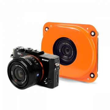
Wingtra Sony RX1RII Payload Kit
For high accuracy surveys, Sony’s 42 MP full-frame sensor guarantees superior image resolution for a drone camera, while the low distortion lens ensures best reconstruction results.
(Price on request)
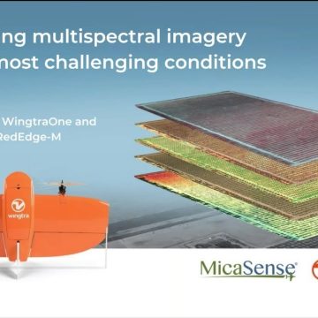
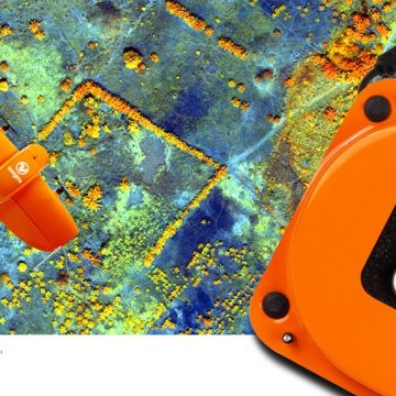
Wingtra Micasense RedEdge-MX Payload Kit
The RedEdge-MX is a professional, rugged multispectral sensor for advanced aerial mapping applications like agriculture, forestry or environmental research.
(Price on request)
Out of stock
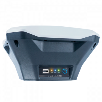
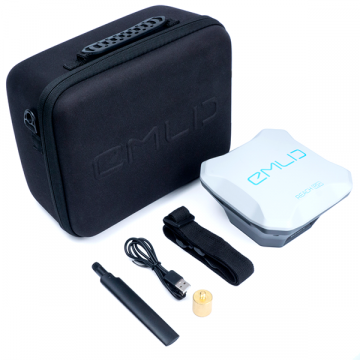
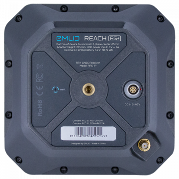
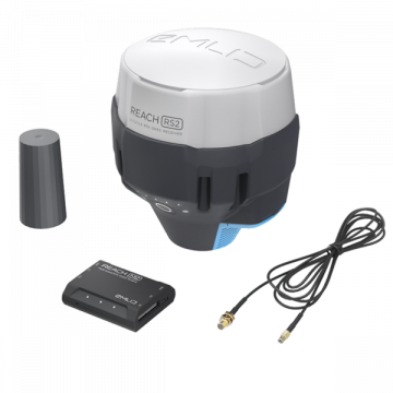
Emlid REACH RS+ GNSS Receiver
EMLID Reach RS+ is a RTK / GNSS receiver which works with all common satellite positioning systems (GPS, Galileo, GLONASS, BeiDou, QZSS und SBAS).
800,00 € Exc.VAT (800,00 € Inc. 23% VAT)
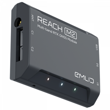
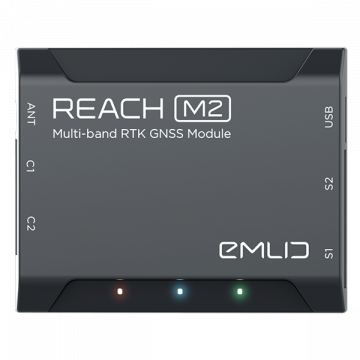
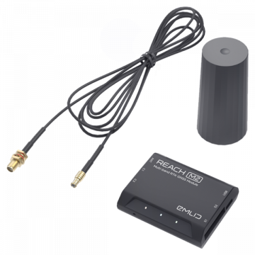
Emlid REACH M2
EMLID Reach M2 is a Multi-Band RTK GNSS module for precise navigation and UAV mapping without GCP which calculates real time coordinates with centimeter accuracy and streams them in NMEA or binary format to your device over UART, Bluetooth or WiFi.
649,00 € Exc.VAT (649,00 € Inc. 23% VAT)
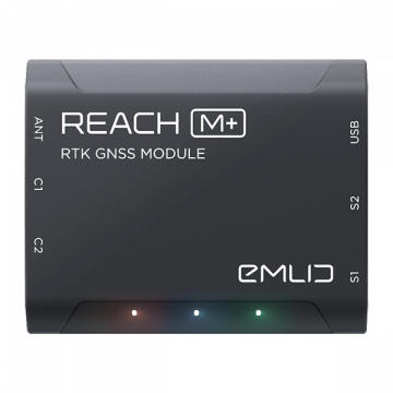
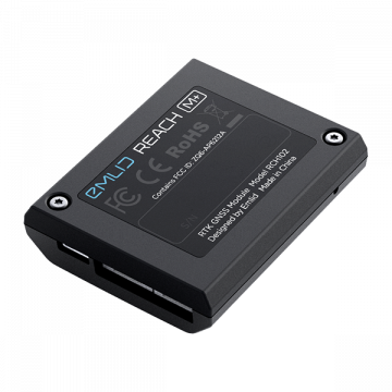
Emlid REACH M+
REACH M+ EMLID Reach M+ is a RTK GNSS module for precise navigation and UAV mapping without GCP which calculates real time coordinates with centimeter accuracy and streams them in NMEA or binary format to your device over UART, Bluetooth or WiFi.
329,00 € Exc.VAT (329,00 € Inc. 23% VAT)
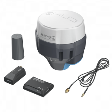
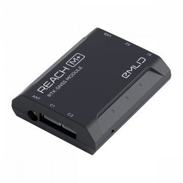
Emlid REACH M2 with Multi-band GNSS Antenna
EMLID Reach M2 witch Multi-band GNSS Antenna
(Price on request)
Sale!
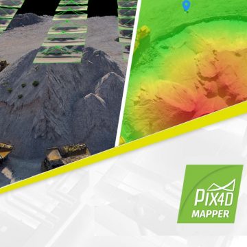
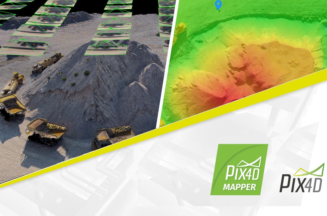
Pix4Dmapper – Perpetual License
Pix4dMapper - Perpetual License The power of photogrammetry software A unique environment connecting your original images to each point of the 3D reconstruction to visually verify and improve the accuracy of your project. Generate high resolution outputs for any project and use case Easily export your digital maps and models to industry-compatible formats for further analysis or reporting
4.267,90 € Exc.VAT (4.267,90 € Inc. 23% VAT)
Sale!
Pix4Dmapper – Yearly Subscription License
Pix4dMapper - Yearly Subscription License The power of photogrammetry software A unique environment connecting your original images to each point of the 3D reconstruction to visually verify and improve the accuracy of your project. Generate high resolution outputs for any project and use case Easily export your digital maps and models to industry-compatible formats for further analysis or reporting
2.639,00 € Exc.VAT (2.639,00 € Inc. 23% VAT)
Sale!
Pix4Dmapper Educational Professor – Yearly License
Pix4Dmapper Educational Professor - Yearly License The power of photogrammetry software A unique environment connecting your original images to each point of the 3D reconstruction to visually verify and improve the accuracy of your project. Generate high resolution outputs for any project and use case Easily export your digital maps and models to industry-compatible formats for further analysis or reporting
546,00 € Exc.VAT (546,00 € Inc. 23% VAT)
Sale!
Pix4Dmapper Educational Classroom – Perpetual License
3.640,00 € Exc.VAT (3.640,00 € Inc. 23% VAT)
Pix4Dmapper Educational Classroom – Perpetual License
Pix4dMapper, Educational Classroom version – Perpetual License The power of photogrammetry software A unique environment connecting your original images to each point of the 3D reconstruction to visually verify and improve the accuracy of your project. Generate high resolution outputs for any project and use case Easily export your digital maps and models to industry-compatible formats for further analysis or reporting
3.640,00 € Exc.VAT (3.640,00 € Inc. 23% VAT)
Sale!
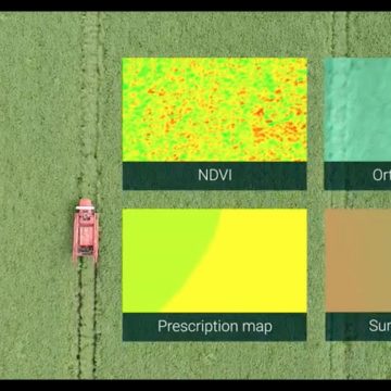

Pix4Dfields – Yearly License
Pix4Dfields - Yearly License Advanced agriculture mapping software for aerial crop analysis and digital farming. Precision agriculture mapping using images from drones and UAVs The only digital agriculture software focusing on reducing the processing time while incorporating the highest accuracy standards backed up with years of scientific research. Use Pix4Dfields to create prescription maps and maximize crop yields Create accurate field maps, generate insights and analyze field data in real time to increase crop productivity
1.319,50 € Exc.VAT (1.319,50 € Inc. 23% VAT)

-
-
-
Sale!

 Vista Rápida
 -
-
-
-
Sale!
 Vista Rápida
 -
Sale!
 Vista Rápida

-
 Vista Rápida
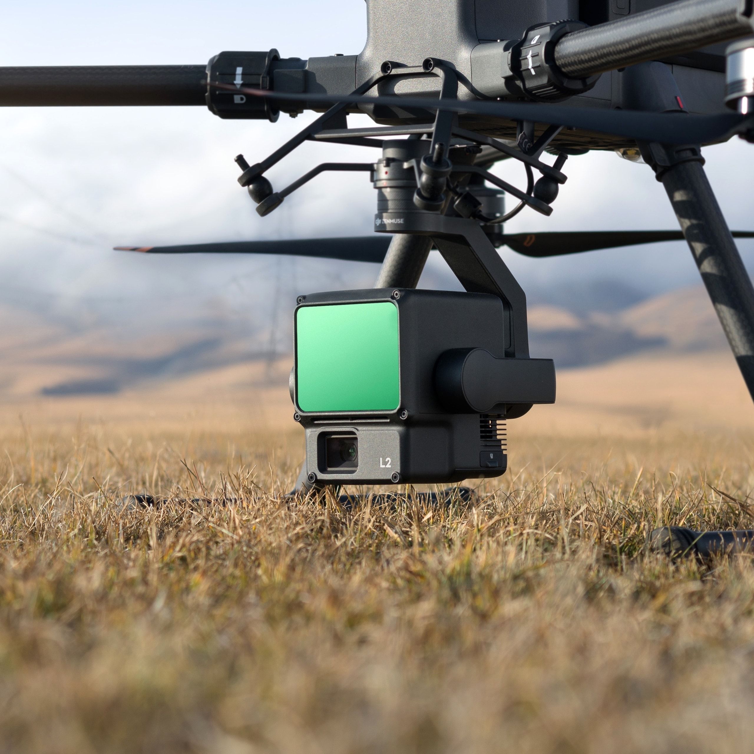
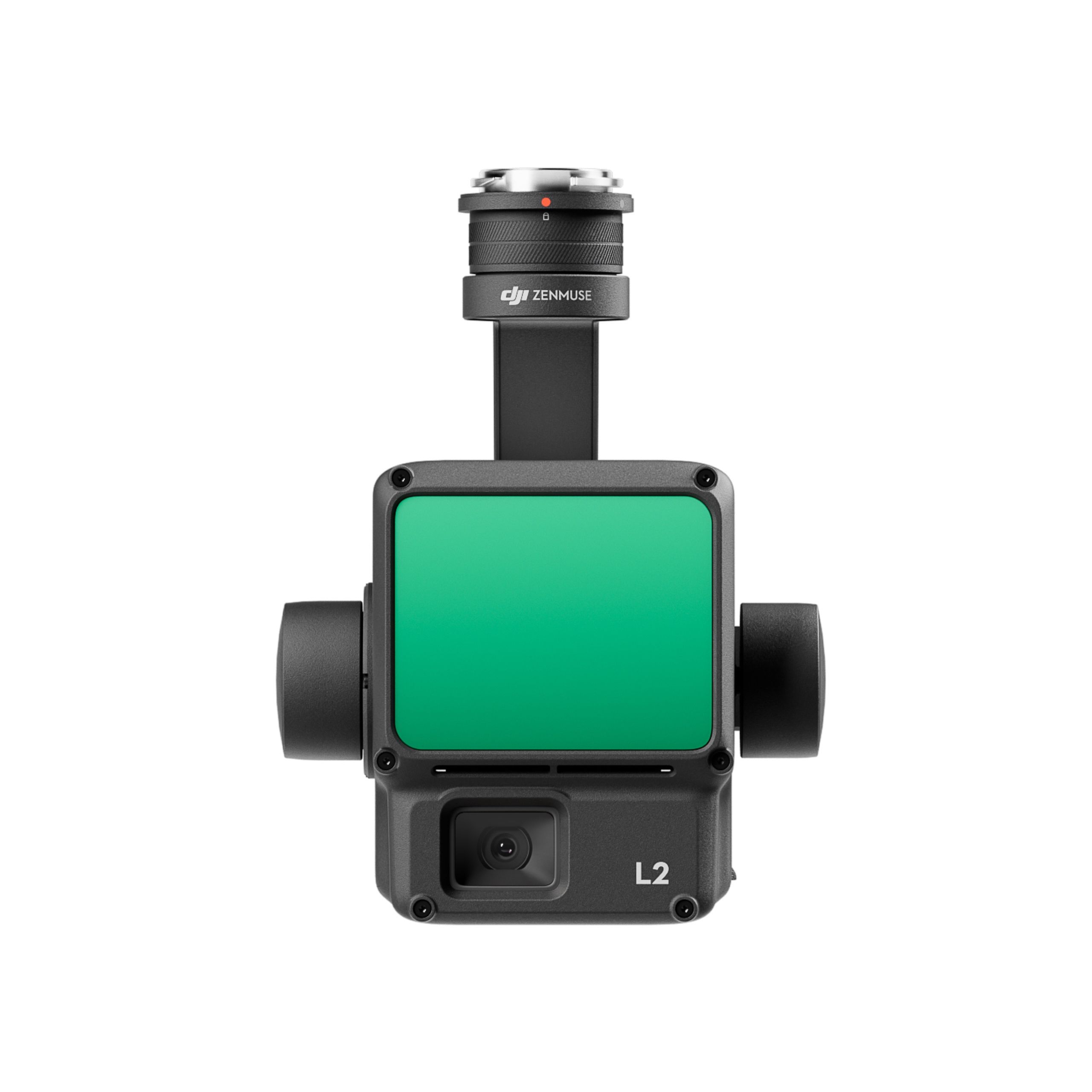
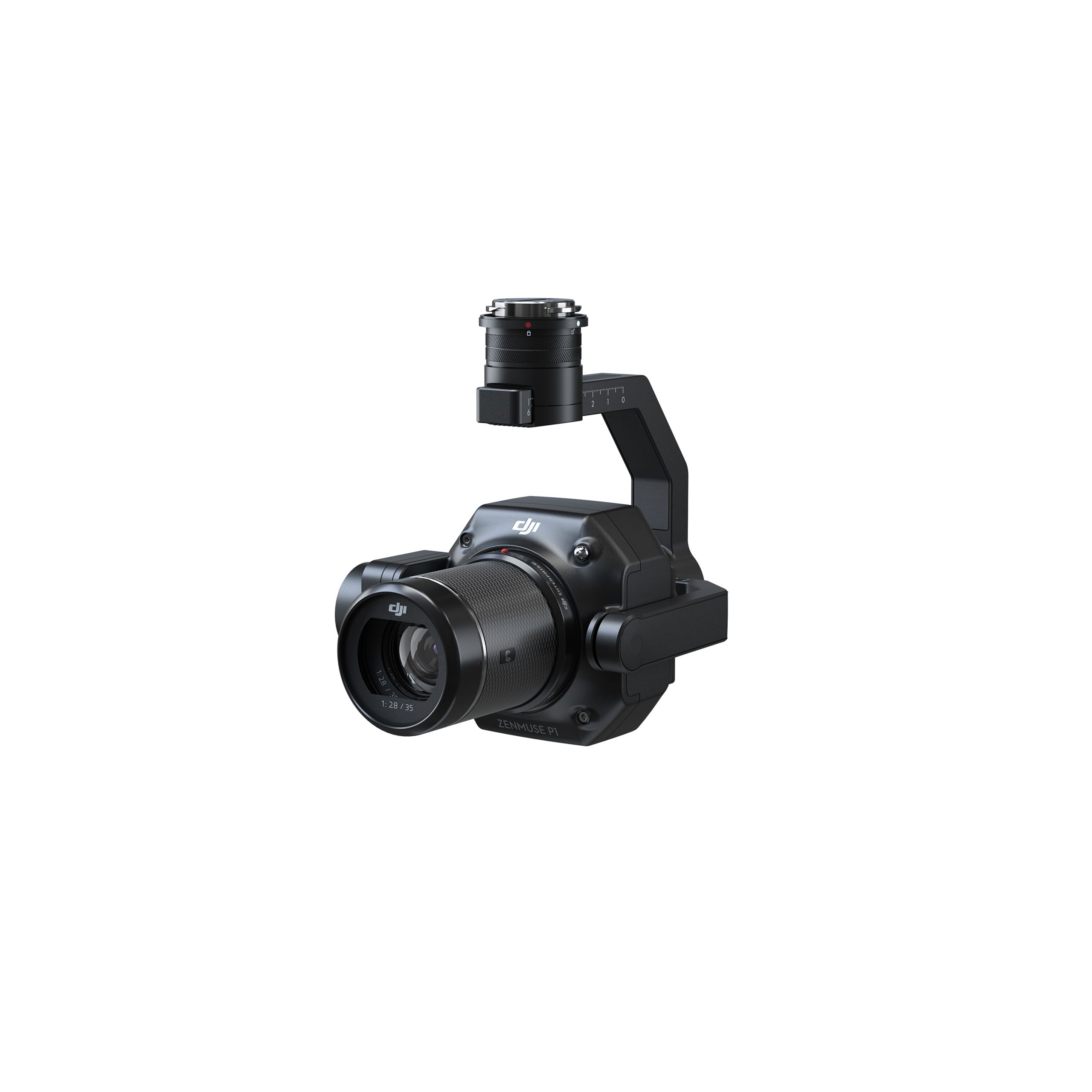
DJI Zenmuse L2 Worry-Free Basic Combo
Accessories DJI Matrice 350 RTK 10.813,01 € Exc.VAT (10.813,01 € Inc. 23% VAT) -
 Vista Rápida
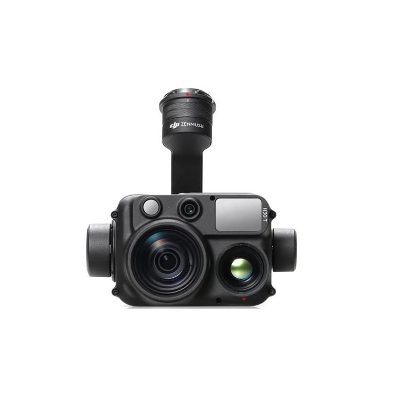
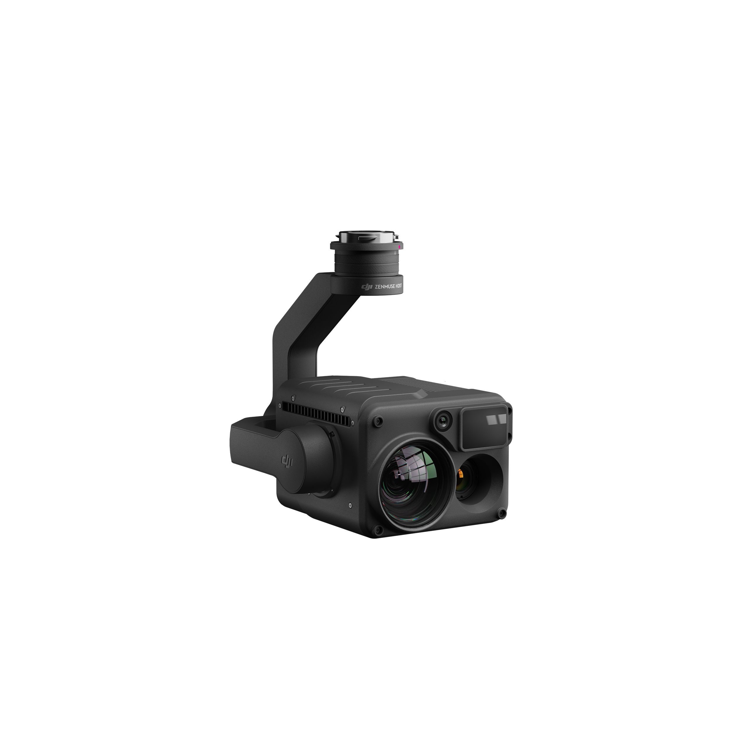
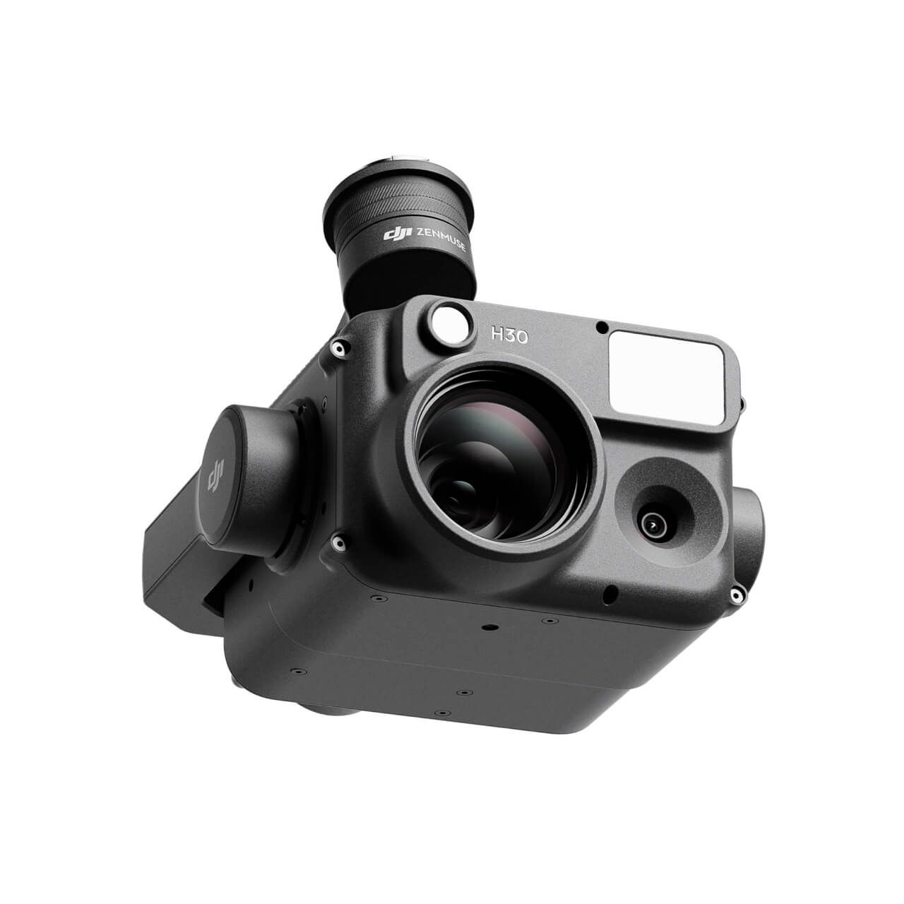
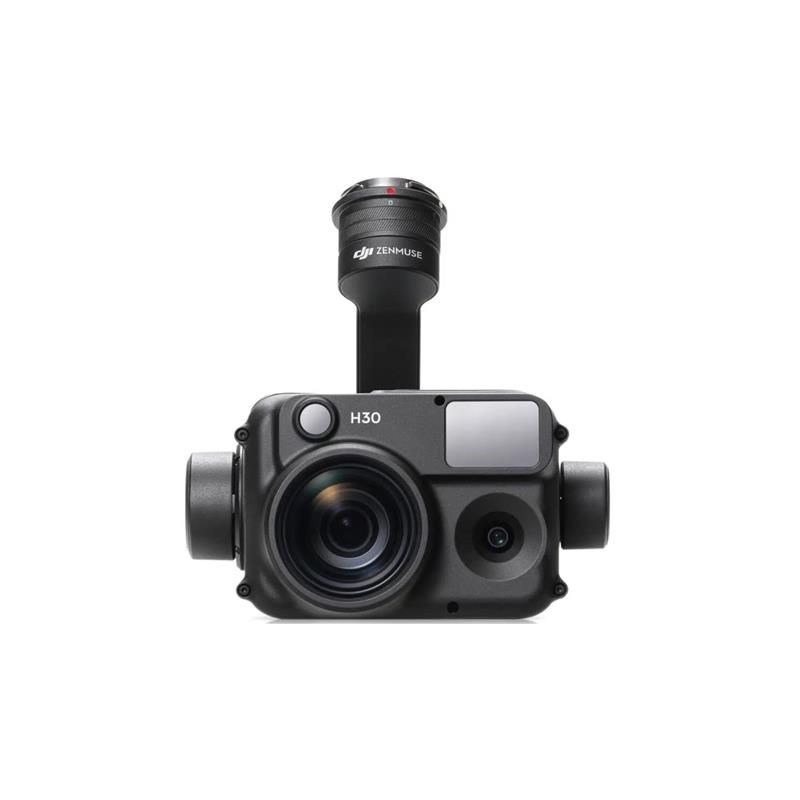
DJI Zenmuse H30T Worry-Free Basic Combo
Accessories DJI Matrice 300 RTK 10.608,94 € Exc.VAT (10.608,94 € Inc. 23% VAT) -
 Vista Rápida
 -
 Vista Rápida
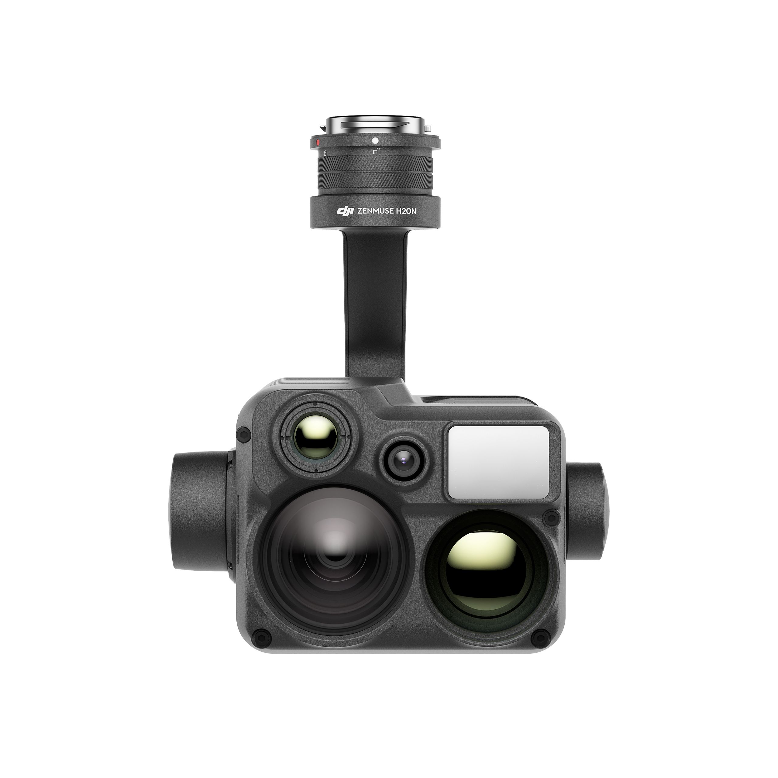
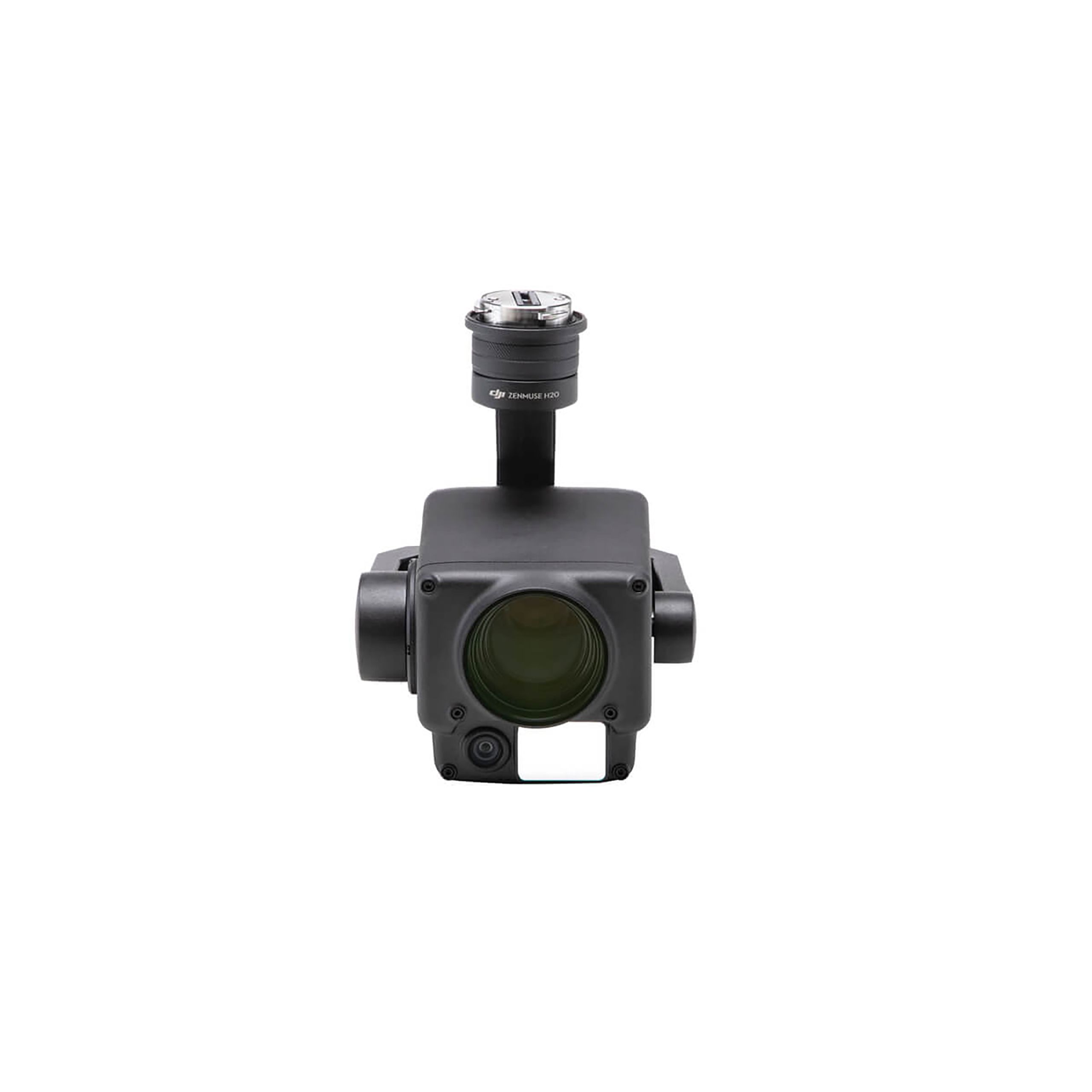
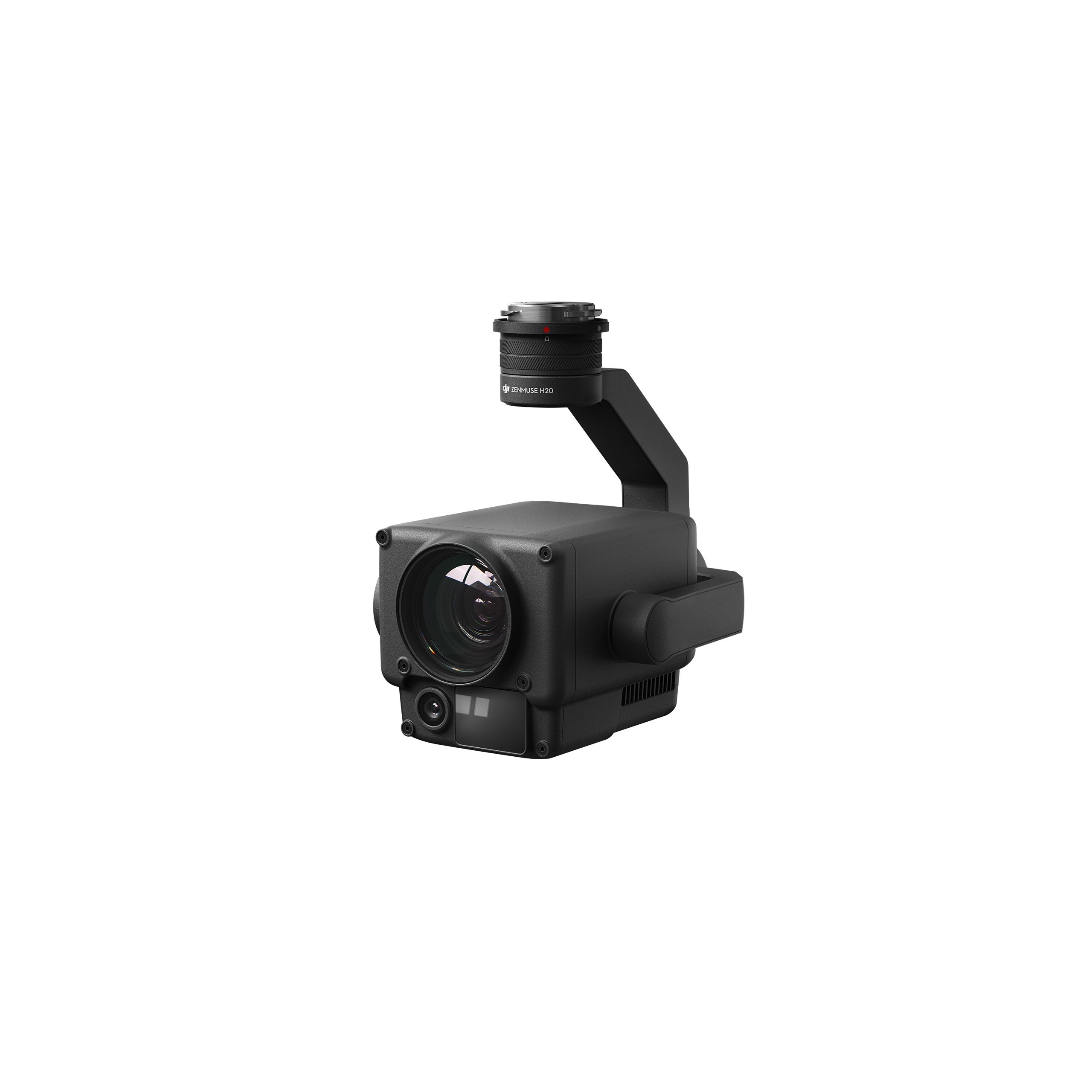
DJI Zenmuse H20N Worry-Free Basic Combo
Accessories DJI Matrice 350 RTK 9.987,80 € Exc.VAT (9.987,80 € Inc. 23% VAT) -
 Vista Rápida
 -
 Vista Rápida
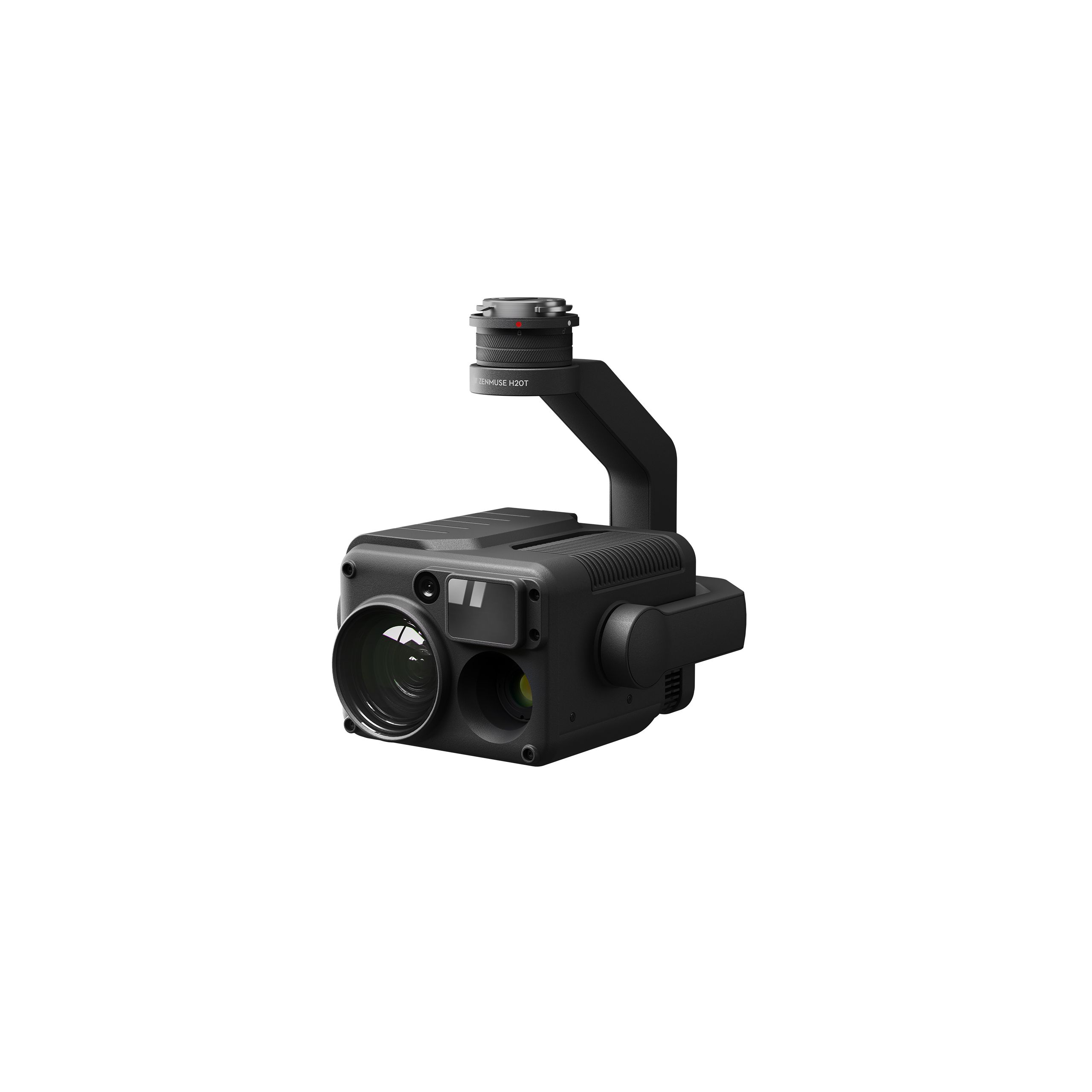
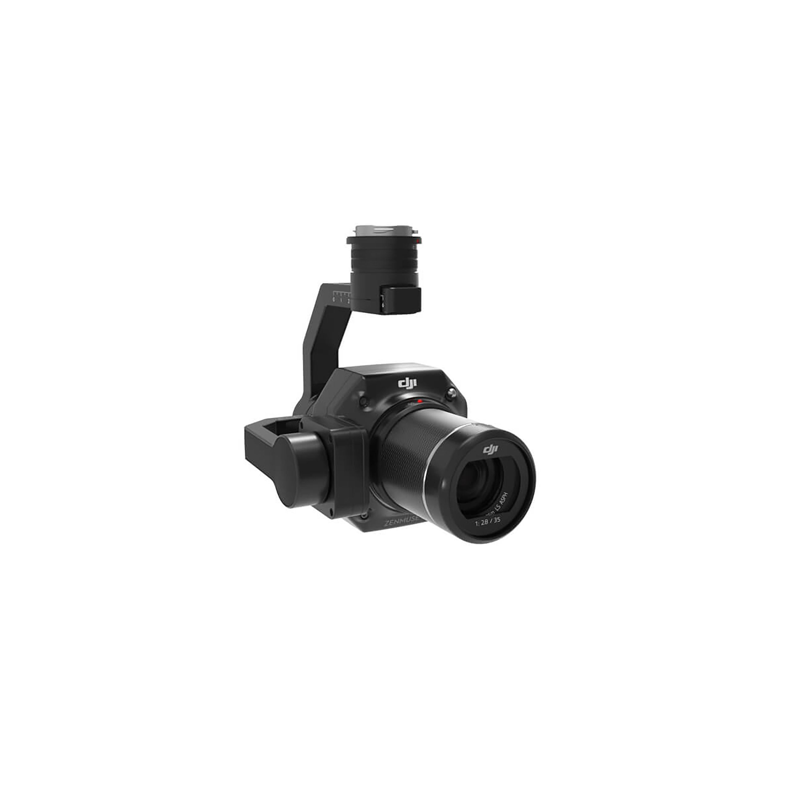
DJI Zenmuse H30 Worry-Free Plus Combo
Accessories DJI Matrice 350 RTK 4.382,11 € Exc.VAT (4.382,11 € Inc. 23% VAT) -
Vista Rápida
DJI Zenmuse H30 Worry-Free Basic Combo
Accessories DJI Matrice 350 RTK 4.045,53 € Exc.VAT (4.045,53 € Inc. 23% VAT) -
 Vista Rápida
-
Vista Rápida
DJI Matrice 350 RTK-Worry-Free Basic Combo
DJI Matrice 350 RTK 10.161,79 € Exc.VAT (10.161,79 € Inc. 23% VAT) -
-
-
-
-
Sale!
 Vista Rápida
 -
 Vista Rápida
DJI Mavic 3M (Multispectral) – Free Basic Combo – 1 Year
DJI 3.727,64 € Exc.VAT (3.727,64 € Inc. 23% VAT) -
Vista Rápida
-
Sale!
 Vista Rápida
 -
Sale!Vista Rápida
-
 Vista Rápida
 -
Vista Rápida
-
Vista Rápida
Global Mapper Pro Single User – Floating License
Blue Marble 2.172,50 € Exc.VAT (2.172,50 € Inc. 23% VAT) -
Vista Rápida
Global Mapper Pro Single User – Node Locked
Blue Marble 1.599,00 € Exc.VAT (1.599,00 € Inc. 23% VAT) -
Vista Rápida
-
 Vista Rápida
Agisoft Metashape Standard, Node-Locked Educational license, Single
Agisoft 54,00 € Exc.VAT (54,00 € Inc. 23% VAT)
