


EMLID PHOTO CONTEST

Geosun Lidars
Geosun LiDARs are a high-quality products that offers a combination of accuracy, speed, and efficiency.


New Wingtra LIDAR
Perfectly integrated with the WingtraOne GEN II drone to ensure a streamlined workflow.

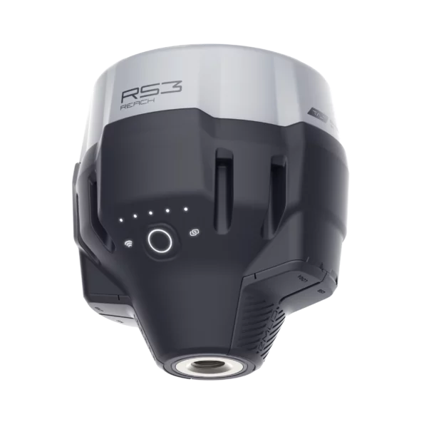
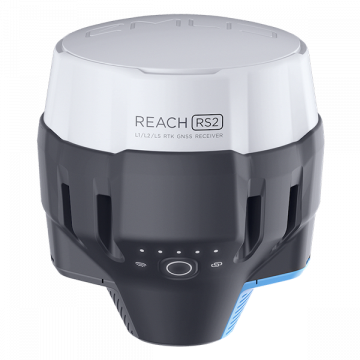
New Emlid Reach RS3
Multi-band base and rover
IMU tilt compensation
LTE modem
Dual-band radio
IMU tilt compensation
LTE modem
Dual-band radio

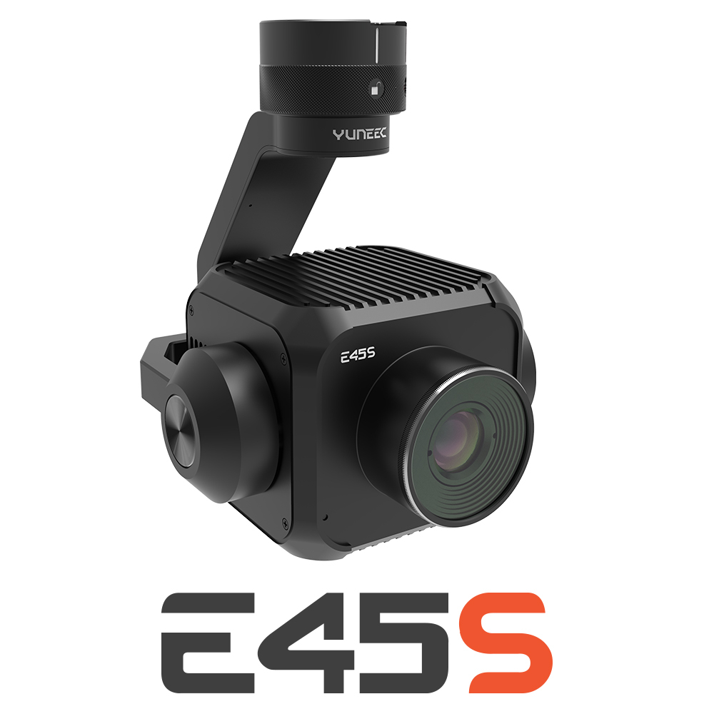
New Yuneec E45S for H510E and H850
Yuneec launched E45S 45MP full frame camera, ideal for professionals in survey and inspection industry!
New Swellpro Fisherman MAX
Launch of Fisherman Max is now available for pre-order and shipping starts on August 1st.


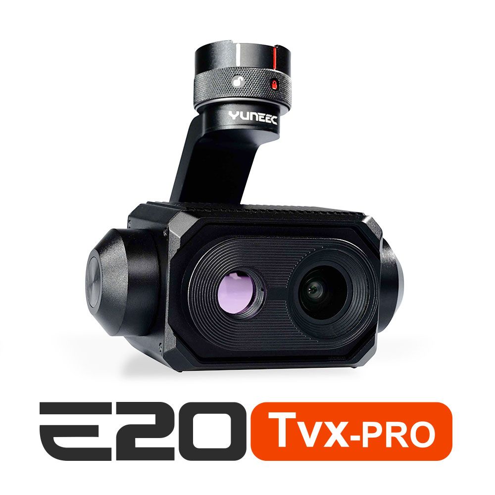
New E20TVX-PRO Thermal camera
Recommended camera for tasks related to Inspection (buildings, solar panels and powerlines), Search and Rescue, Firefighting and Law enforcement

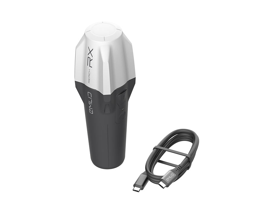
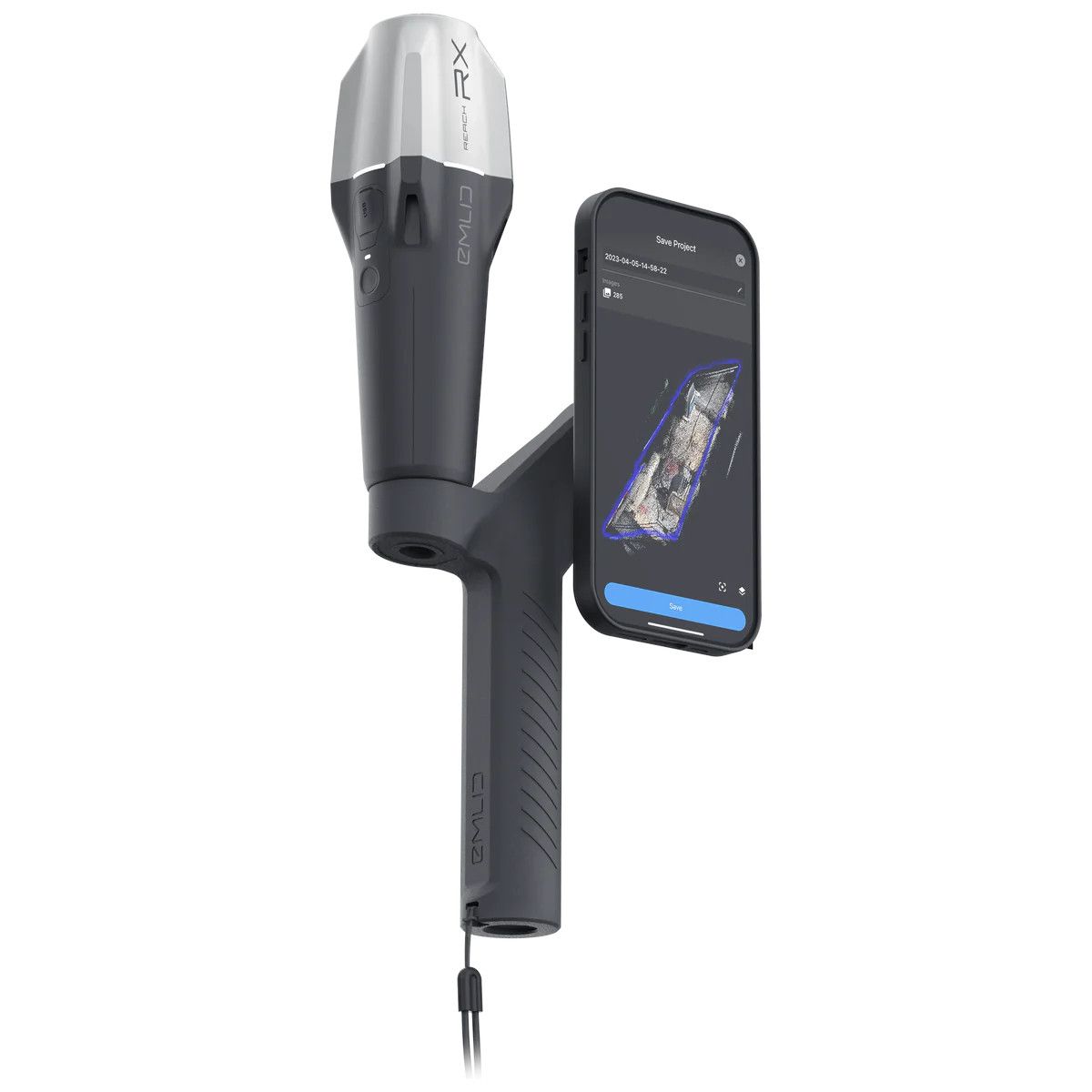
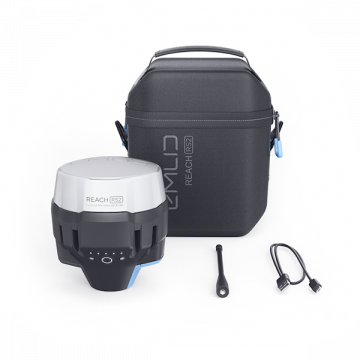
New Emlid Reach RX rover
Emlid Reach RX is a new pocket-sized, lightweight and easy-to-use receiver!

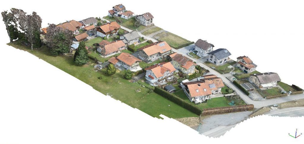
 Surveying & GIS
-
 Vista Rápida
 -
 Vista Rápida
 -
 Vista Rápida
 -
 Vista Rápida
 -
 Vista Rápida
 -
 Vista Rápida
 -
 Vista Rápida
 Mining & Quarries
-
Vista Rápida
-
Vista Rápida
-
Vista Rápida
-
Vista Rápida
-
Vista Rápida
-
Vista Rápida
-
Vista Rápida
 Construction
-
Vista Rápida
-
Vista Rápida
-
Vista Rápida
-
Vista Rápida
-
Vista Rápida
-
Vista Rápida
-
Vista Rápida
 Agriculture
-
Vista Rápida
-
Vista Rápida
-
Vista Rápida
-
 Vista Rápida
 -
Vista Rápida
-
Vista Rápida
-
Vista Rápida
 Environment monitoring
-
Vista Rápida
-
Vista Rápida
-
Vista Rápida
-
Vista Rápida
-
Vista Rápida
-
Vista Rápida
-
Vista Rápida
 Search & Rescue
-
Vista Rápida
-
Vista Rápida
-
Vista Rápida
-
Vista Rápida
-
Vista Rápida
-
Vista Rápida
 Other applications
-
Sale!
 Vista Rápida
 -
Sale!
 Vista Rápida
 -
Sale!
 Vista Rápida
 -
 Vista Rápida
 -
Sale!
 Vista Rápida
 -
 Vista Rápida


Showing 17–32 of 76 results
Agisoft Metashape Standard, Node-Locked license, 20 licenses pack
-Agisoft Metashape Standard Edition is a stand-alone software product that performs photogrammetric processing of digital images and generates 3D spatial data to be used in GIS applications, cultural heritage documentation, and visual effects production as well as for indirect measurements of objects of various scales. Agisoft Metashape Standard, Node-Locked license, 20 licenses pack
(Price on request)
Agisoft Metashape Standard, Node-Locked license, 10 licenses pack
-Agisoft Metashape Standard Edition is a stand-alone software product that performs photogrammetric processing of digital images and generates 3D spatial data to be used in GIS applications, cultural heritage documentation, and visual effects production as well as for indirect measurements of objects of various scales. Agisoft Metashape Standard, Node-Locked license, 10 licenses pack
(Price on request)
Agisoft Metashape Standard, Node-Locked license, 5 licenses pack
-Agisoft Metashape Standard Edition is a stand-alone software product that performs photogrammetric processing of digital images and generates 3D spatial data to be used in GIS applications, cultural heritage documentation, and visual effects production as well as for indirect measurements of objects of various scales. Agisoft Metashape Standard, Node-Locked license, 5 licenses pack
(Price on request)
GeoCore SDK
The GeoCalc Software Developer Toolkit (also known as an API) entitles one developer to work with the SDK to develop custom applications.
(Price on request)
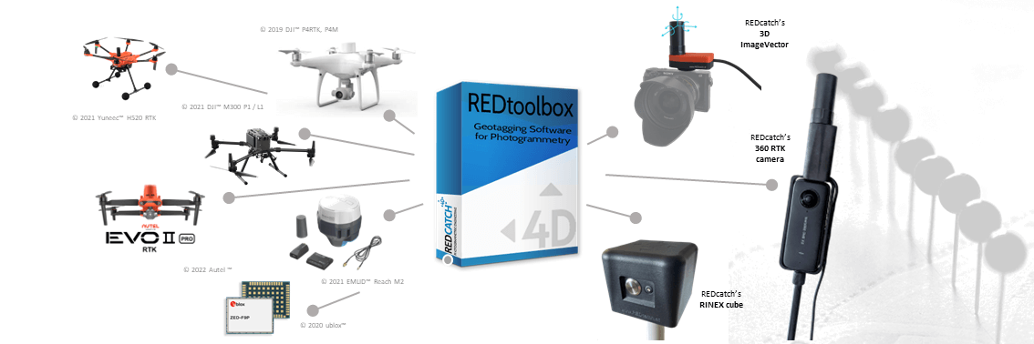
REDcatch REDtoolbox
REDcatch REDtoolbox is a software designed for post-processing and geotagging data captured by drones and terrestrial devices. It specifically focuses on GNSS (Global Navigation Satellite System) data, which is used for positioning and location information.
(Price on request)
Sale!

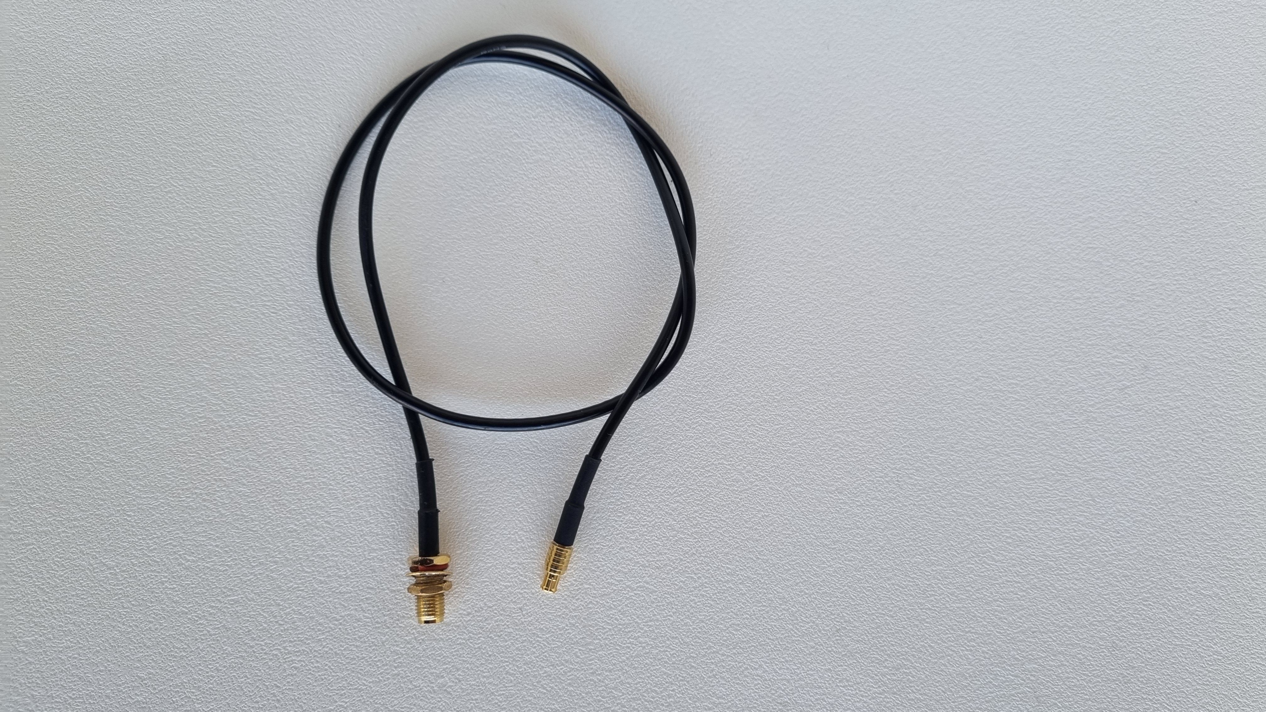
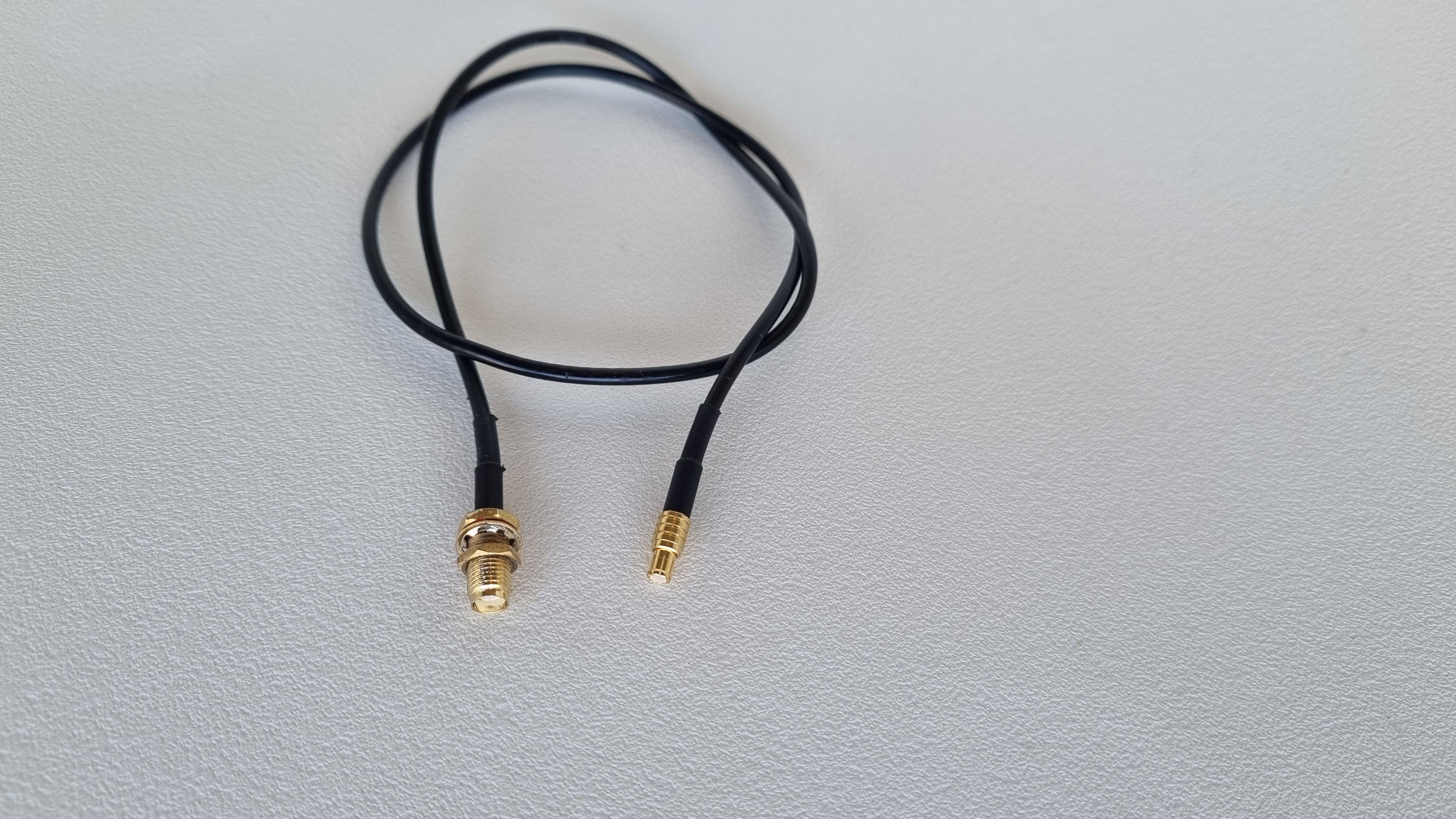
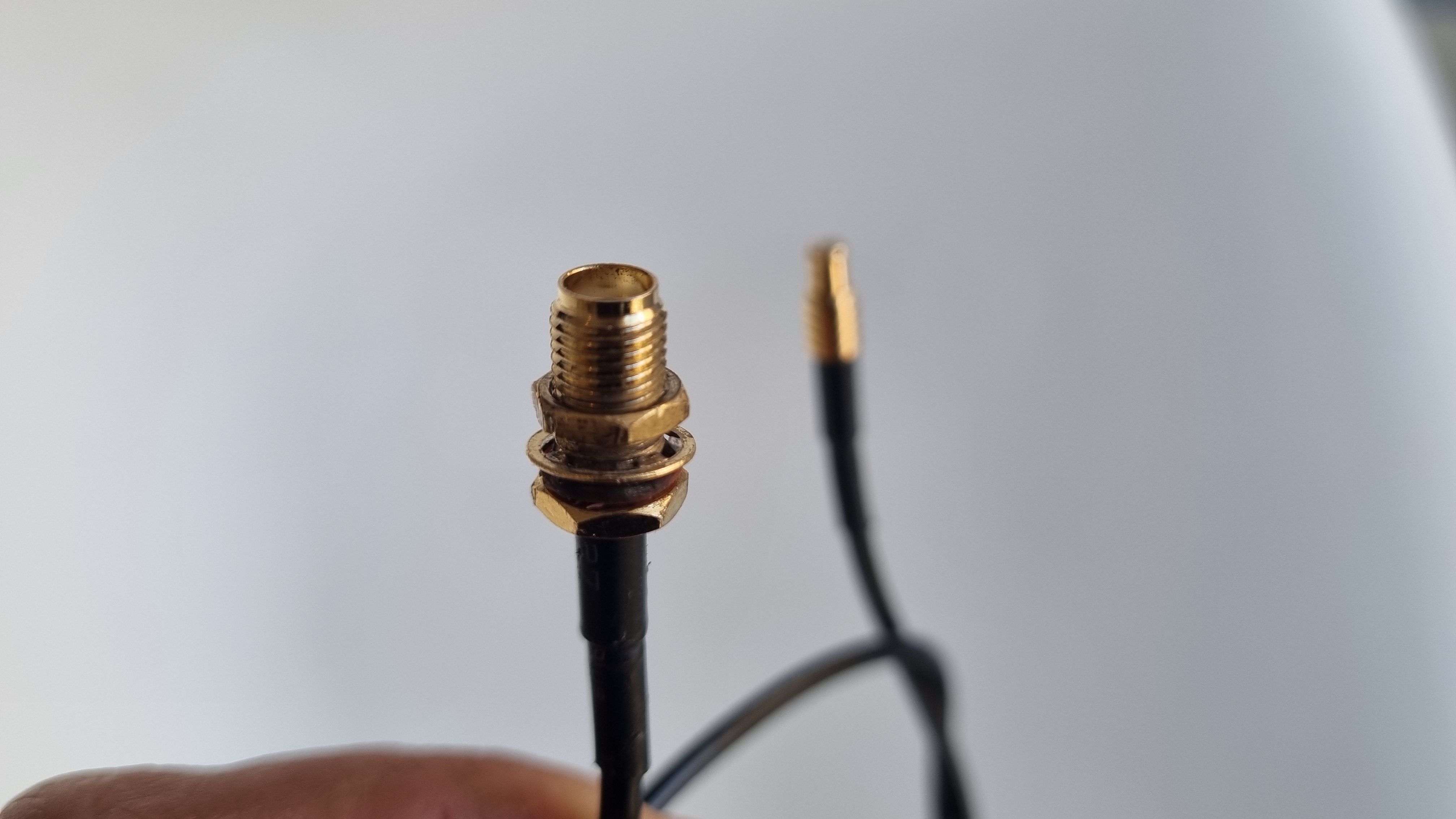
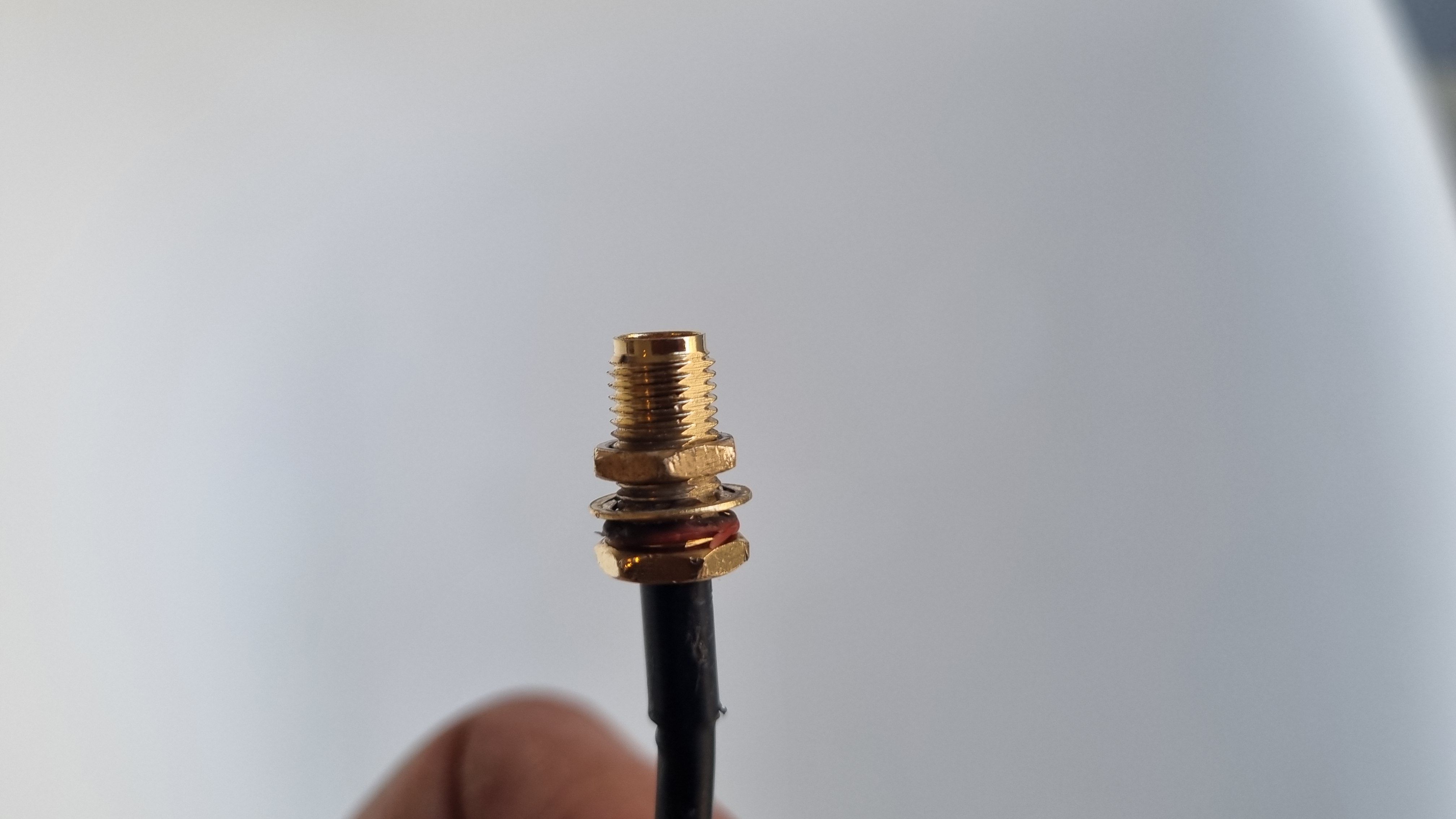


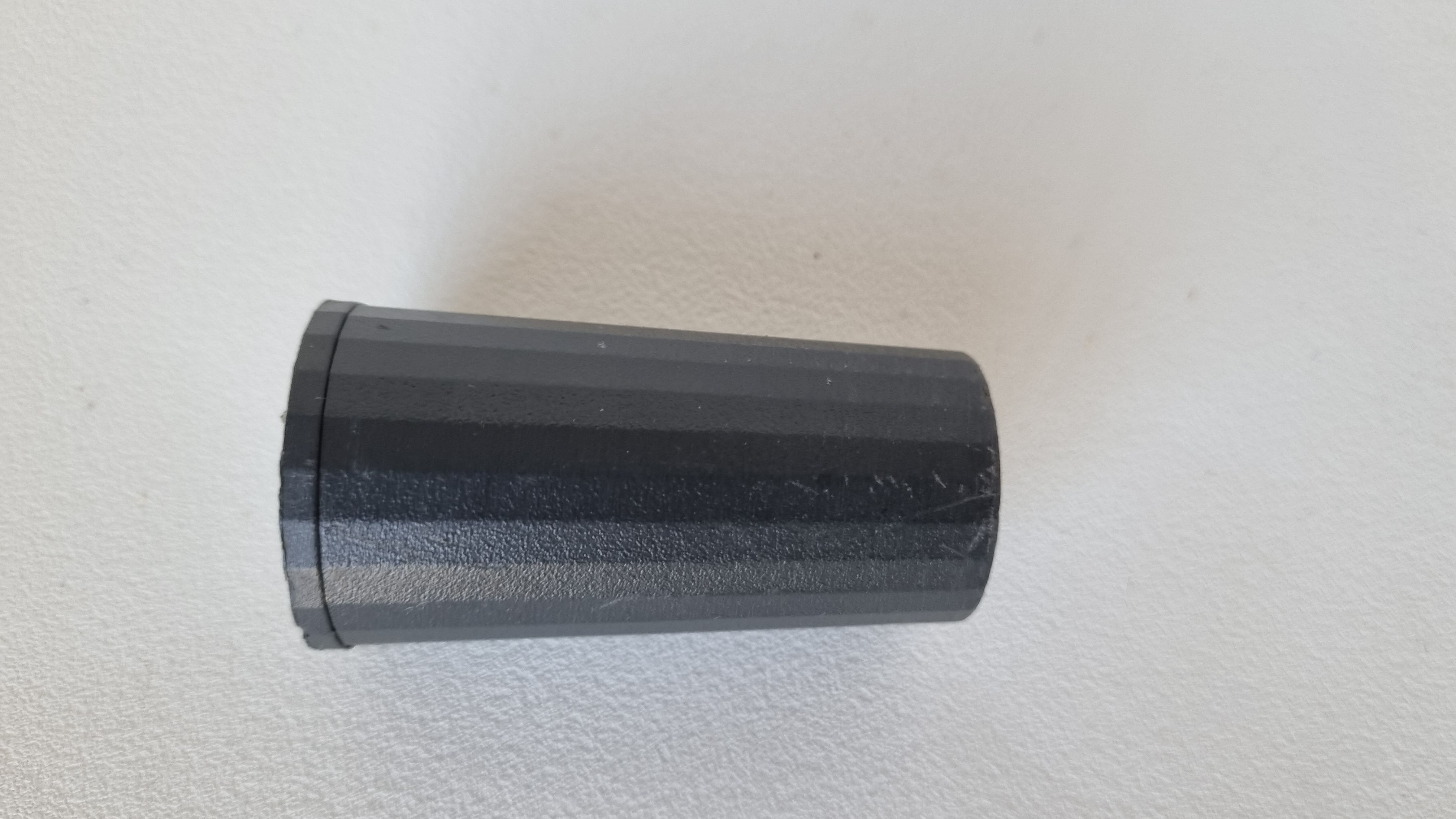
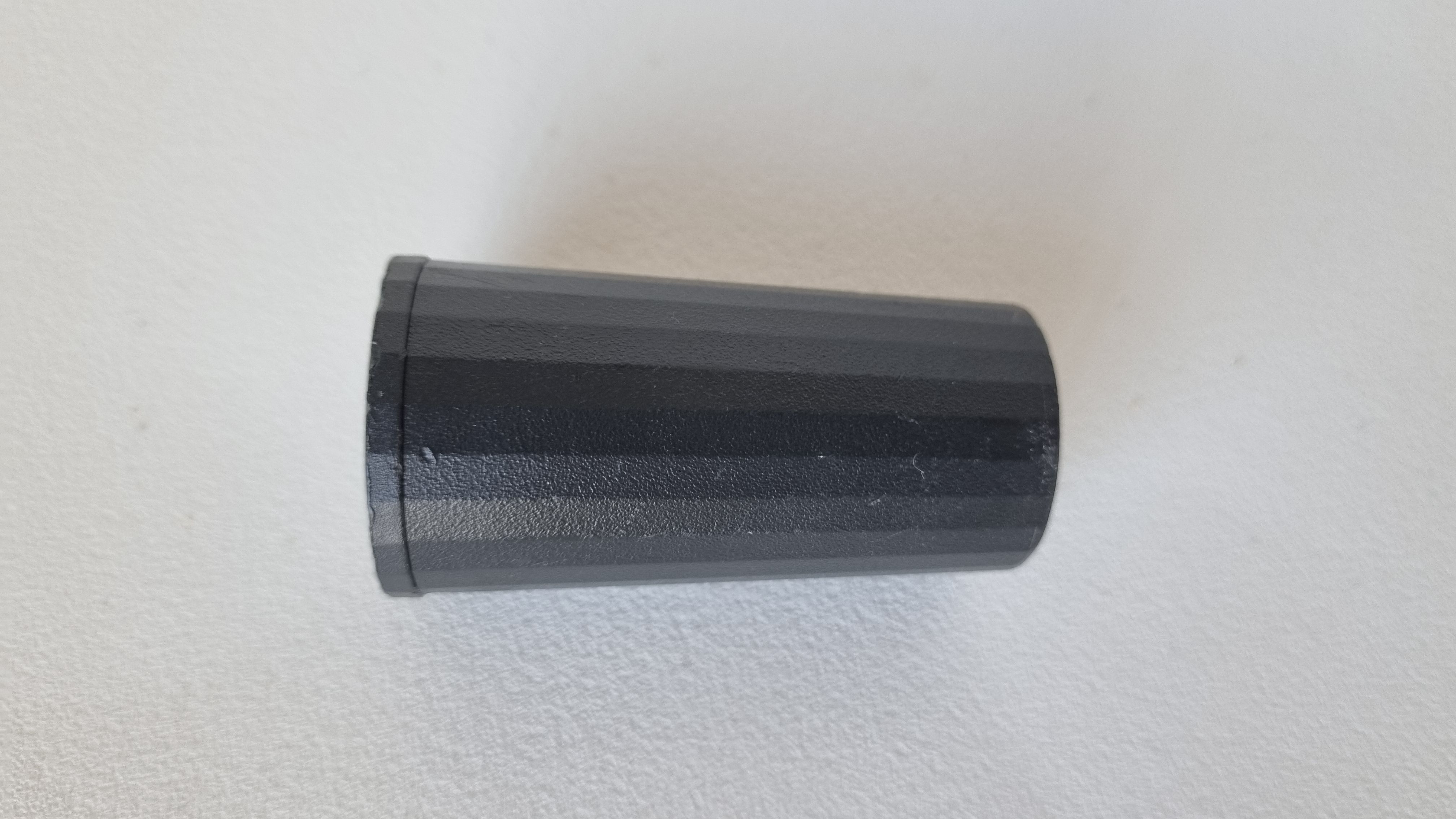
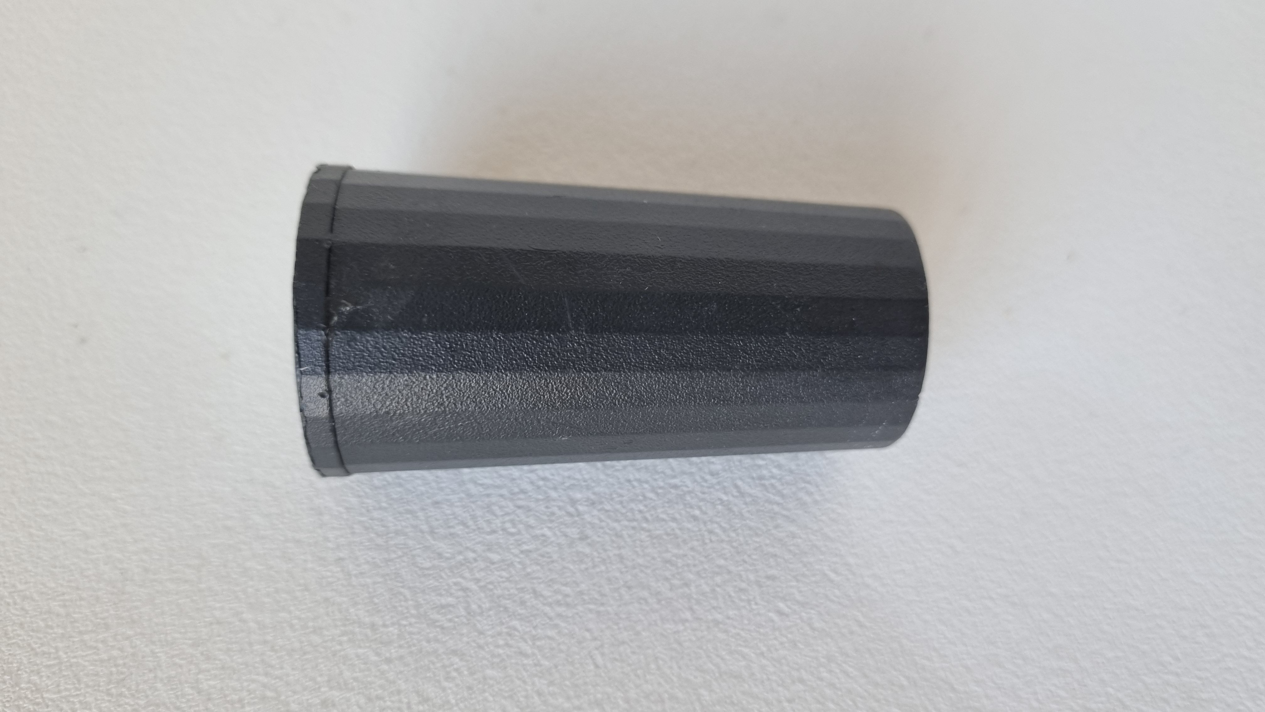
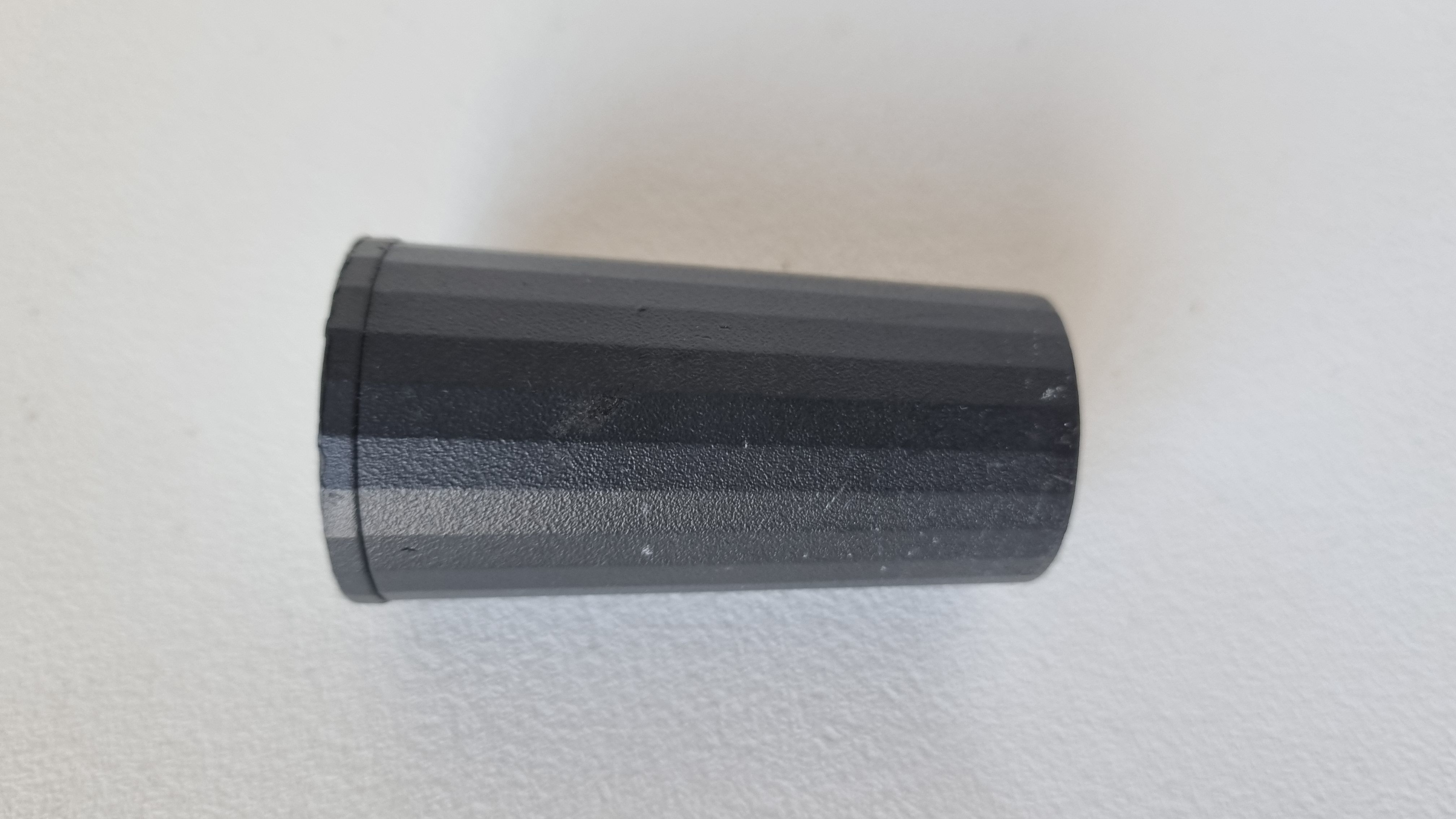
Emlid Reach M2/M+ SMA antenna adapter cable 0.5m [Used B]
15,20 € Exc.VAT (18,70 € Inc. 23% VAT)
Emlid Reach M2/M+ SMA antenna adapter cable 0.5m [Used B]
The Emlid Reach M2/M+ SMA antenna adapter cable is a 0.5 meter long cable that allows you to connect an external SMA antenna to your Emlid Reach M2 or M+ GNSS receiver. This can be helpful if you want to improve the performance of your GNSS receiver by using a higher gain or specialized antenna. The cable has an MCX connector on one end that plugs into your Reach M2 or M+ receiver, and an SMA connector on the other end that connects to your external antenna. USED: GRADE B
15,20 € Exc.VAT (18,70 € Inc. 23% VAT)
Sale!

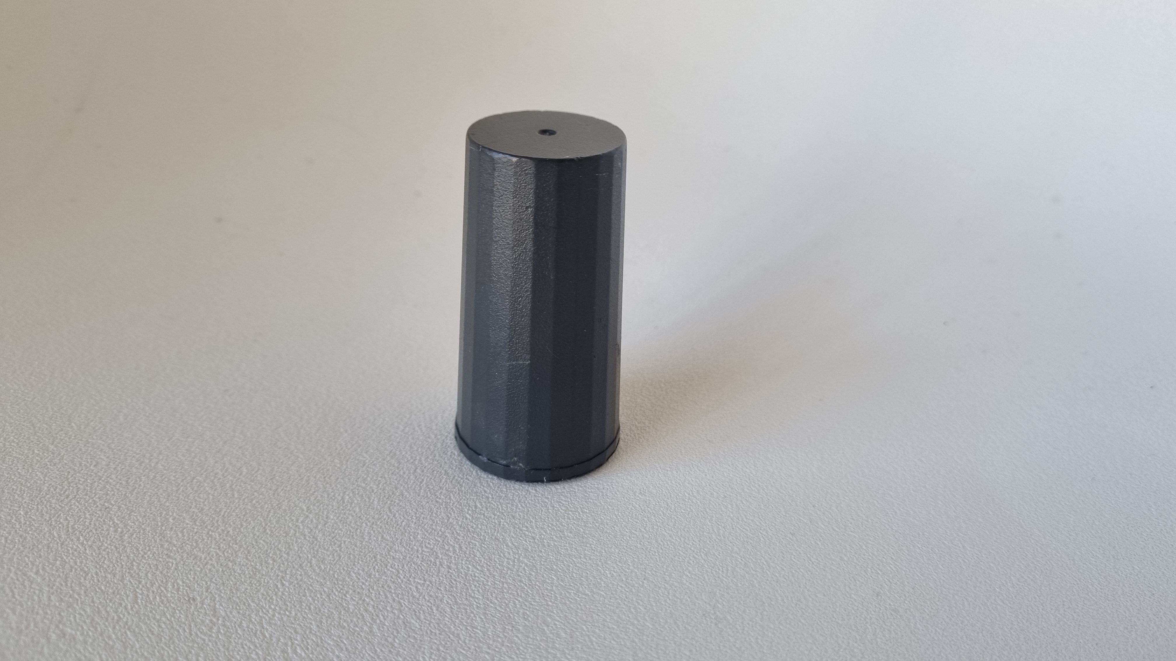
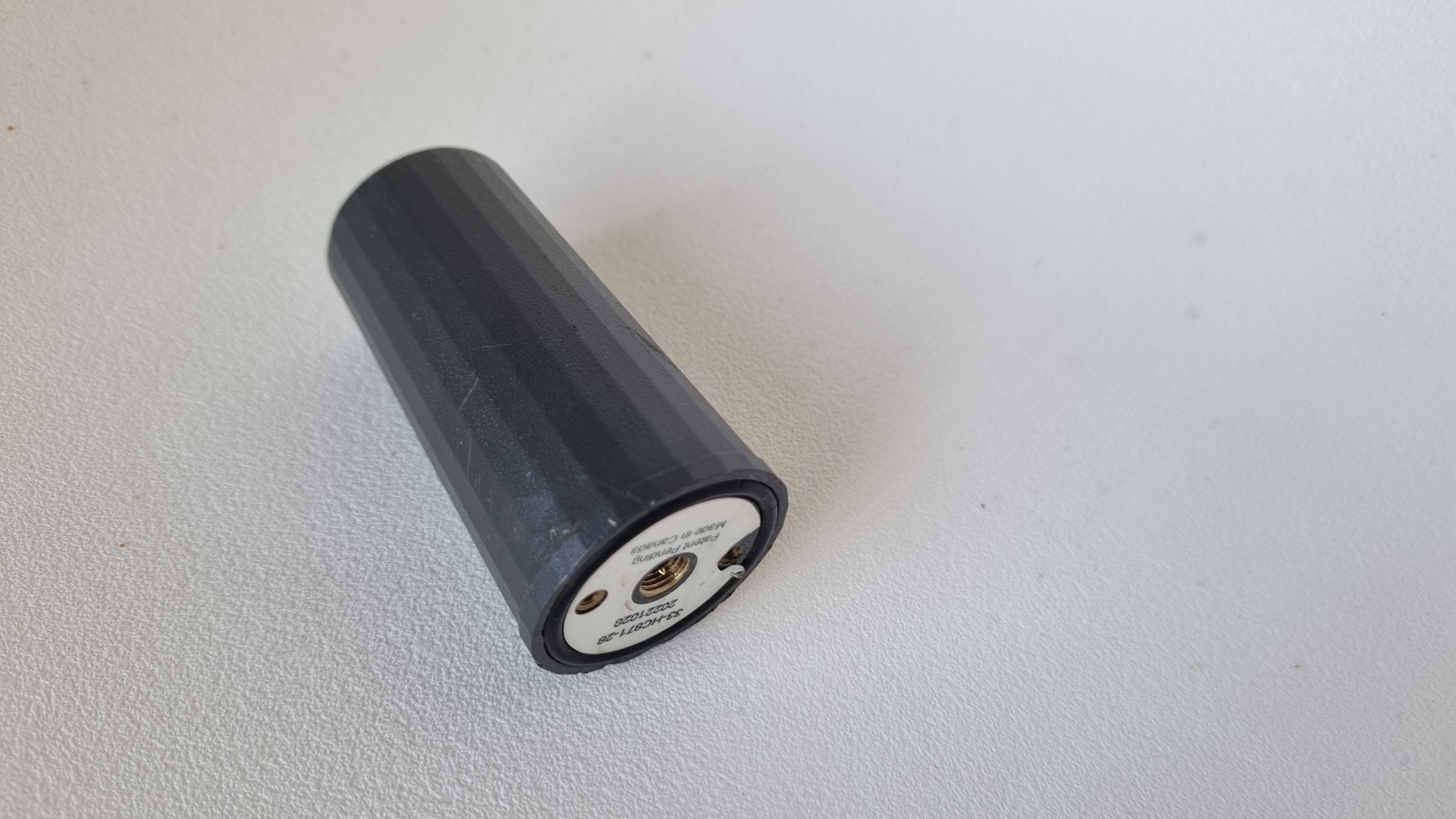
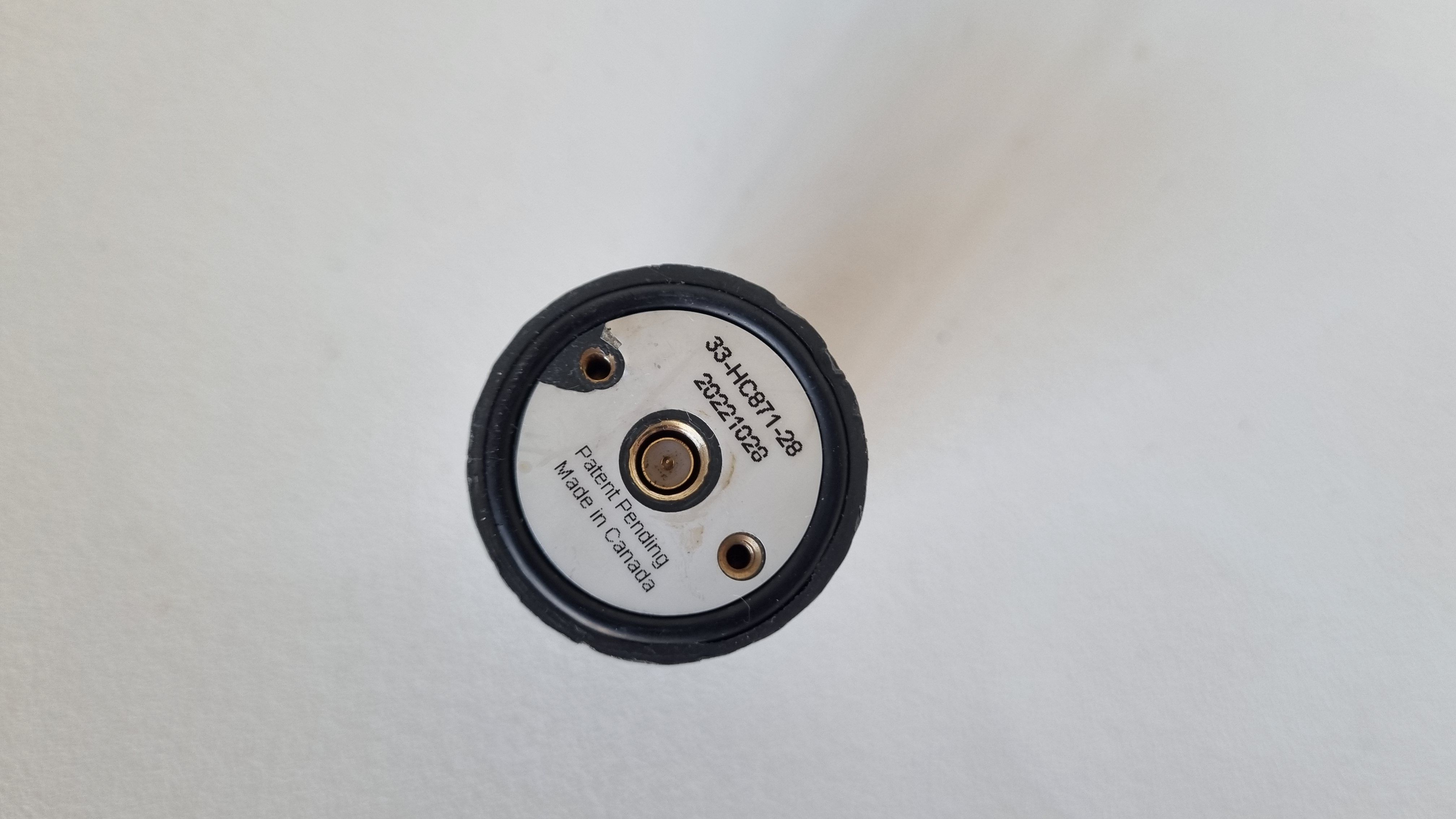
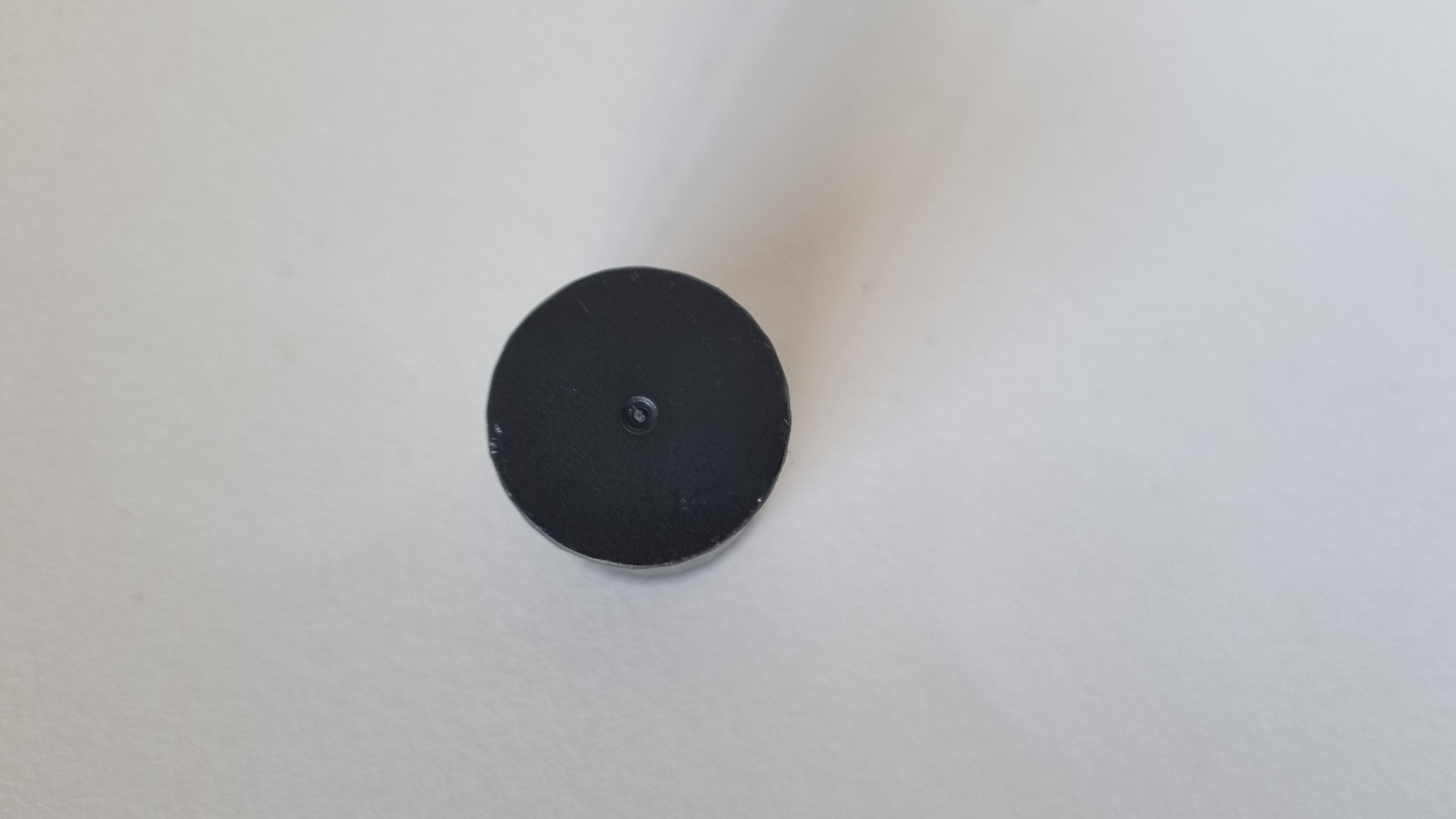
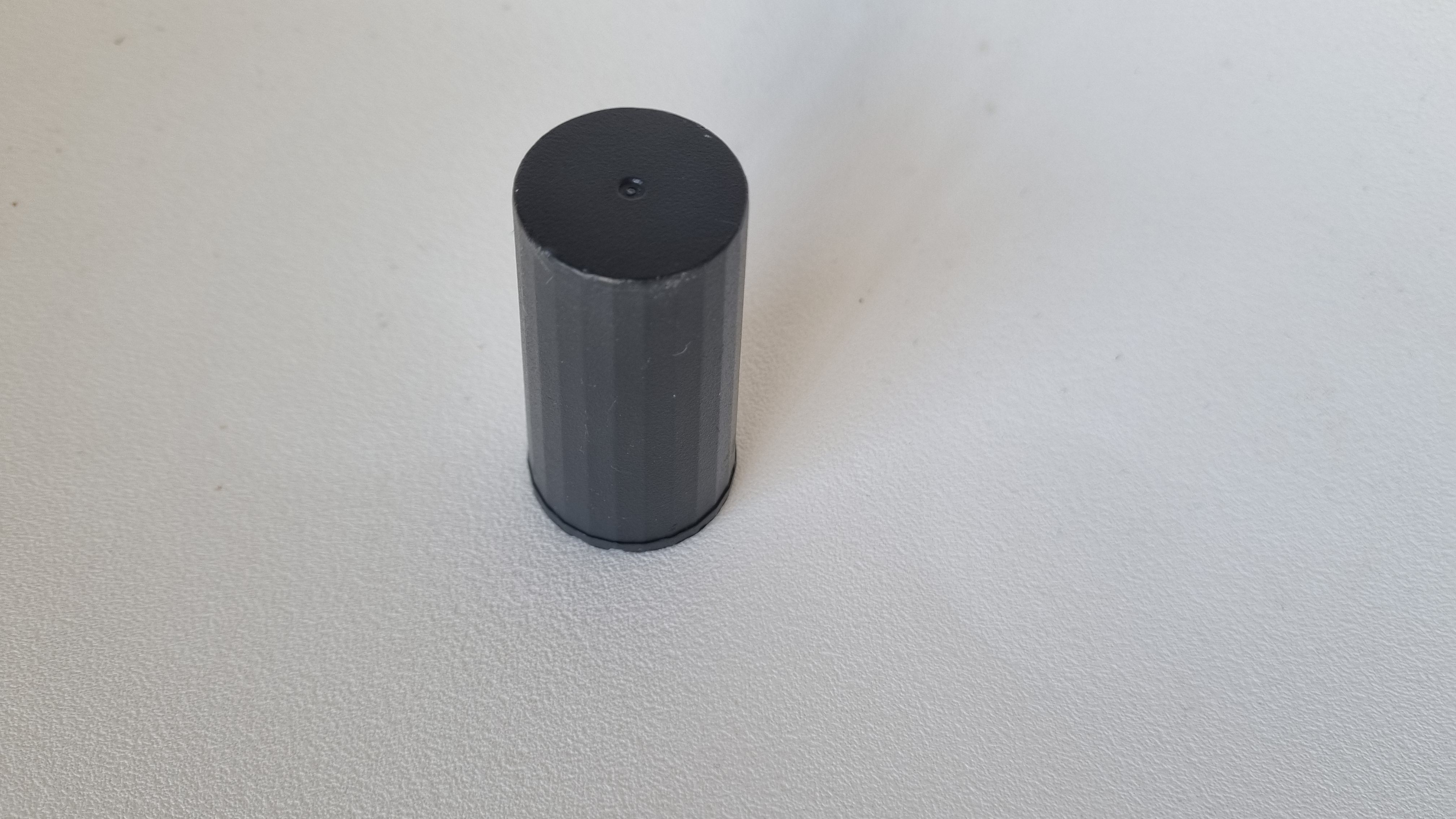
Emlid Multi-band GNSS antenna [Used C]
The Emlid Multi-band GNSS antenna is an accessory for GNSS modules, specifically designed to work with Emlid Reach receivers. Multi-band helical GNSS antenna Tracks L1/L2 bands on GPS, GLONASS, BeiDou and E1/E5 on Galileo. USED: GRADE C
171,75 € Exc.VAT (211,25 € Inc. 23% VAT)
Sale!
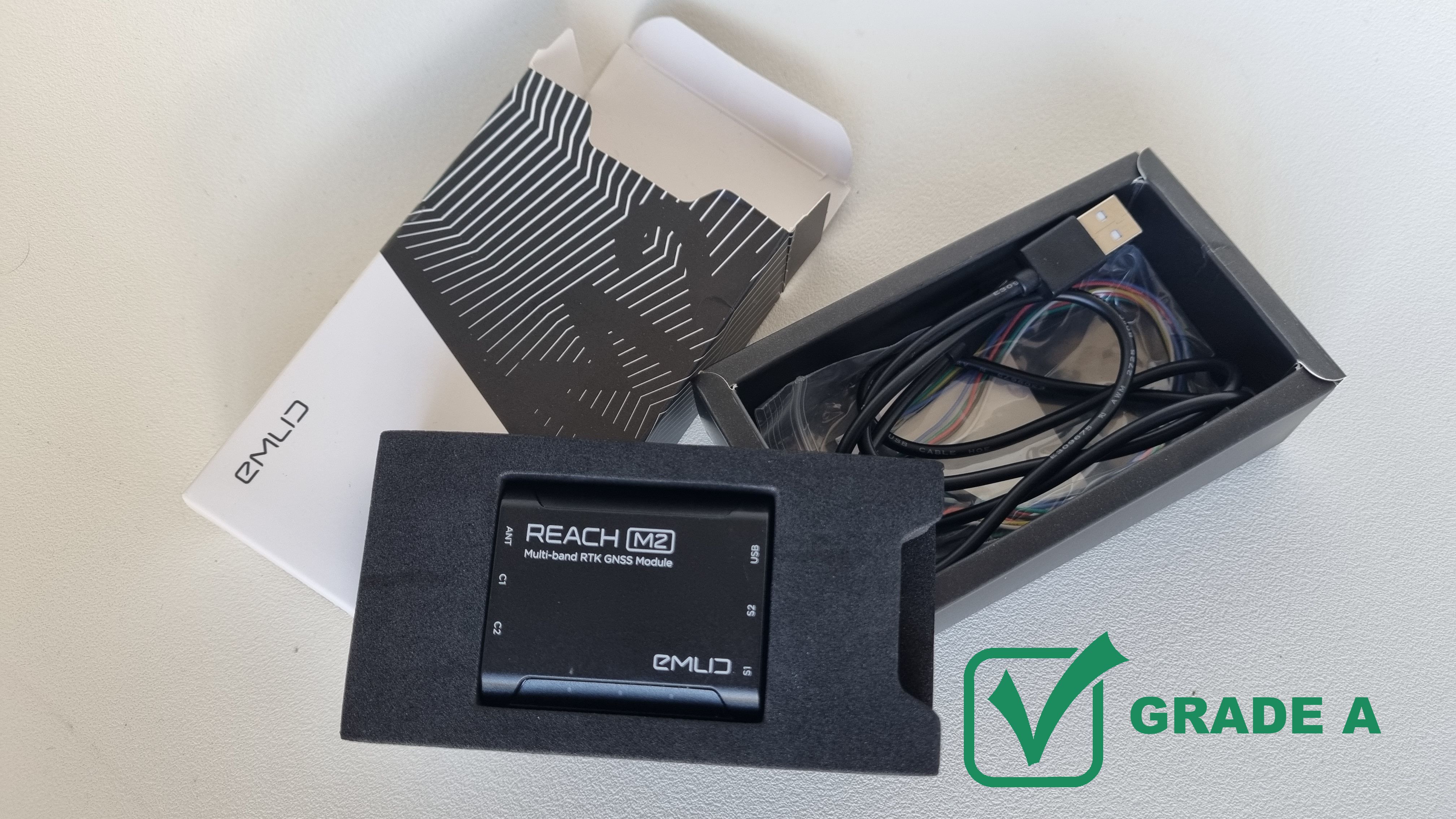
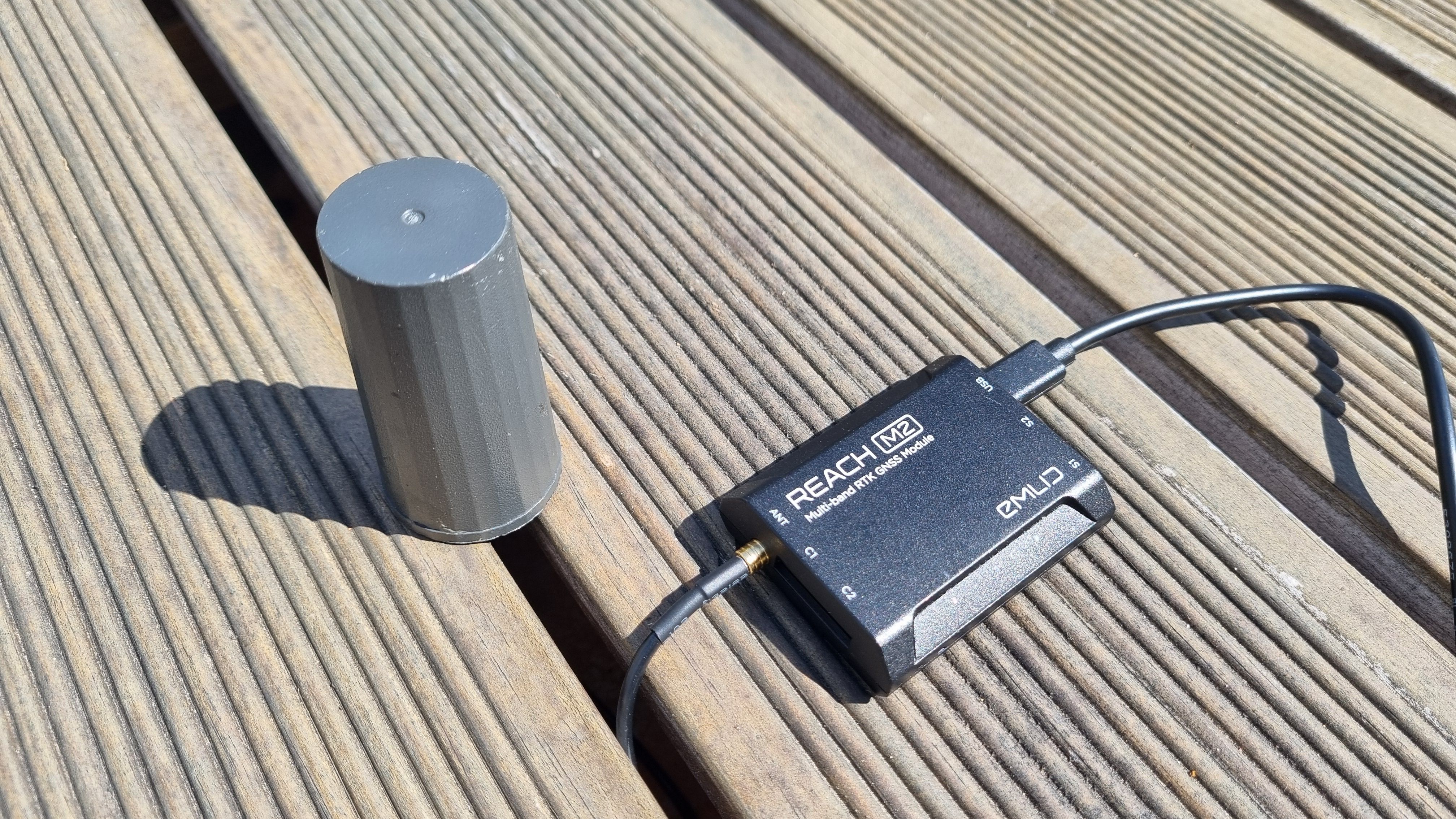
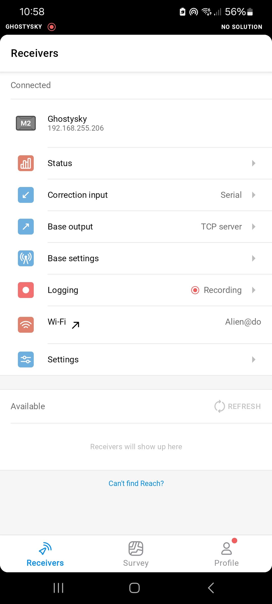
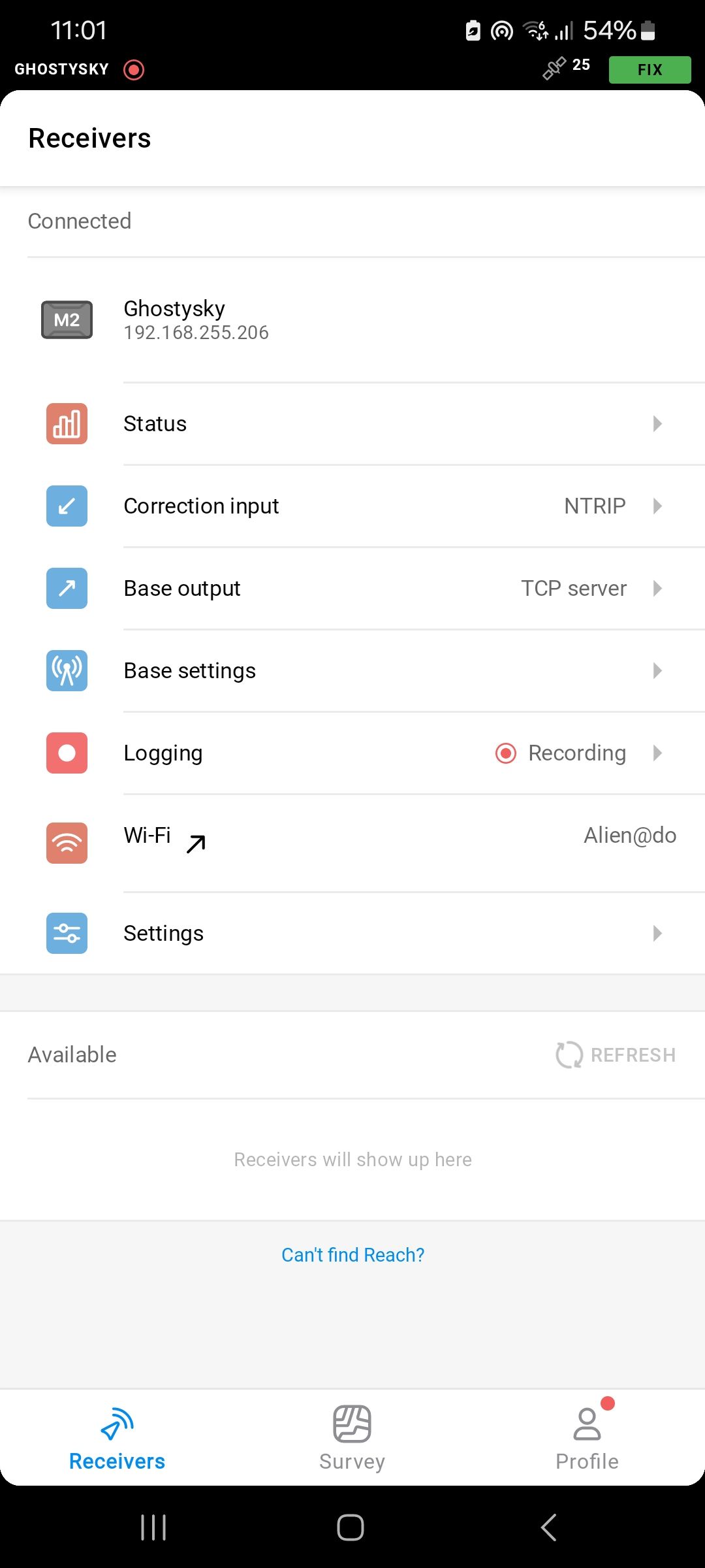
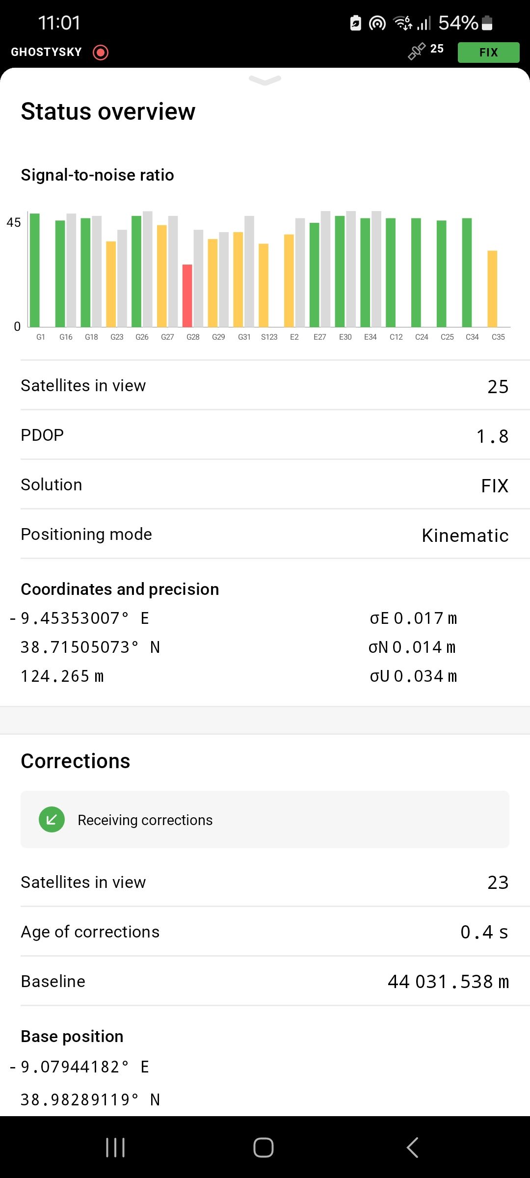

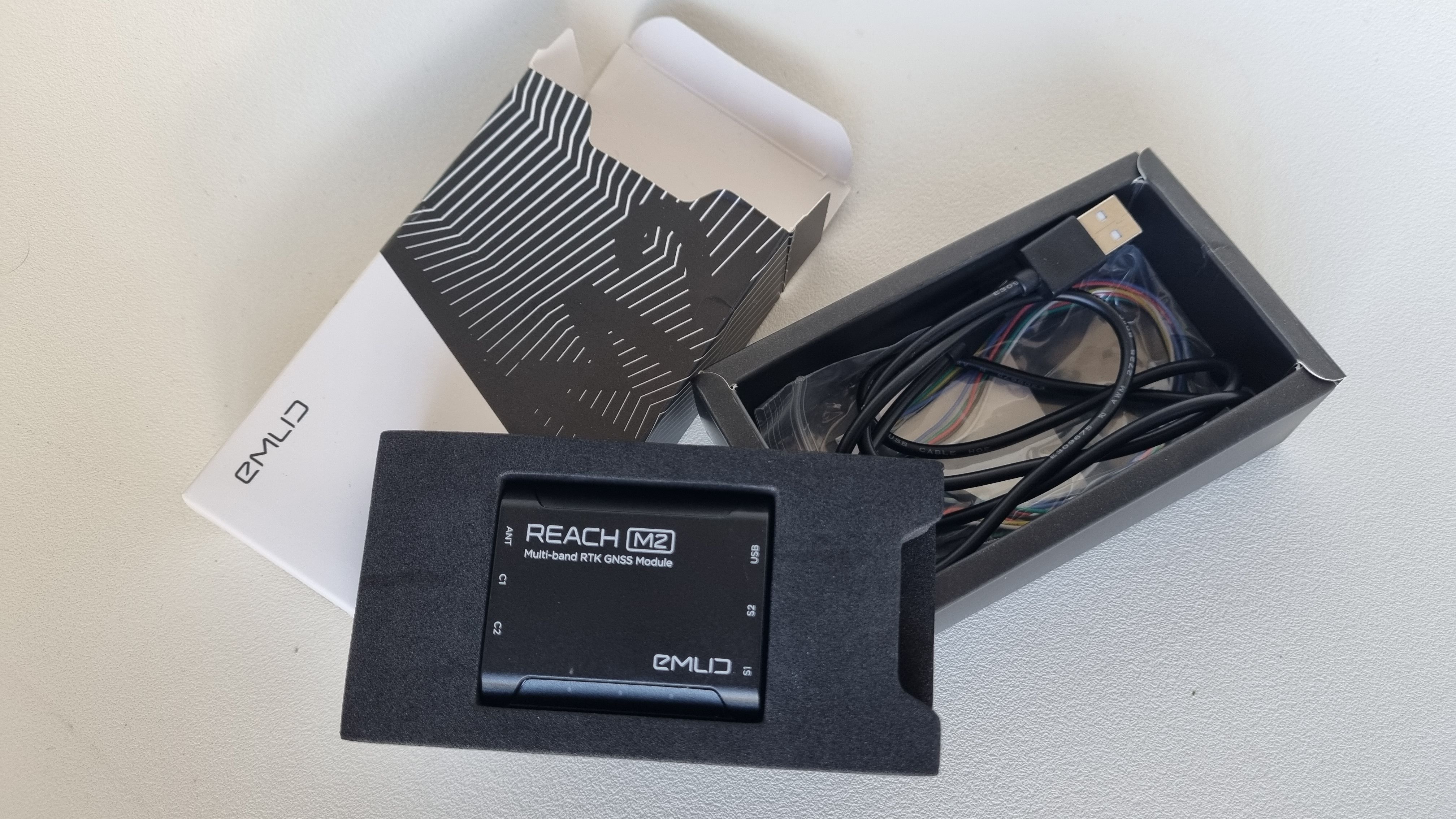
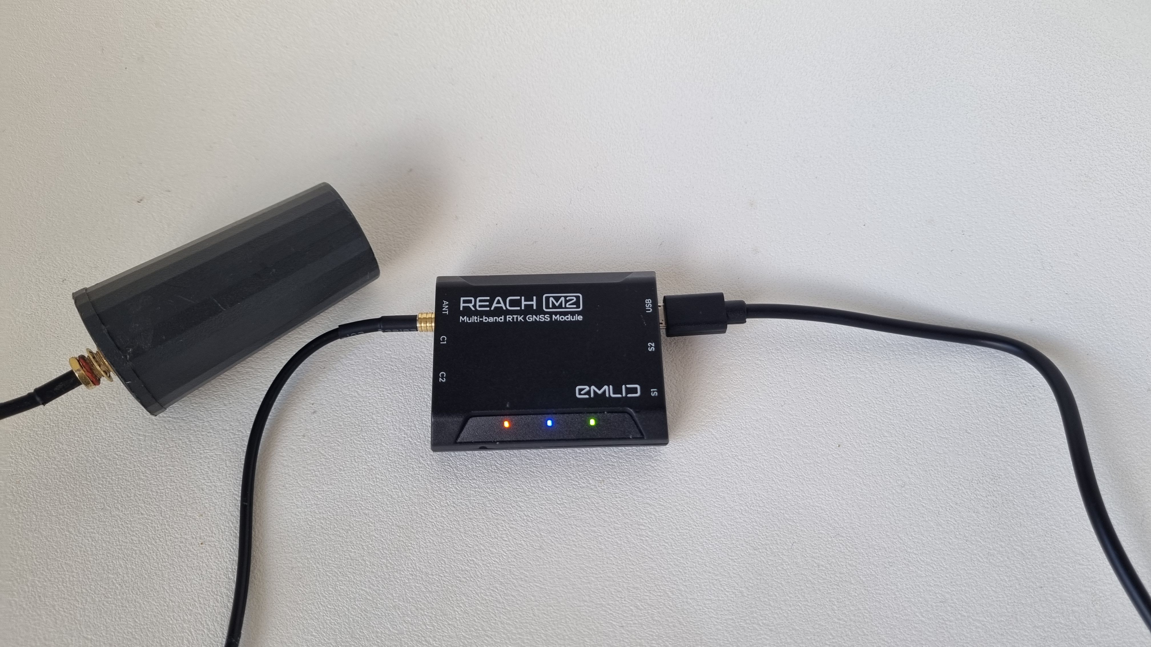
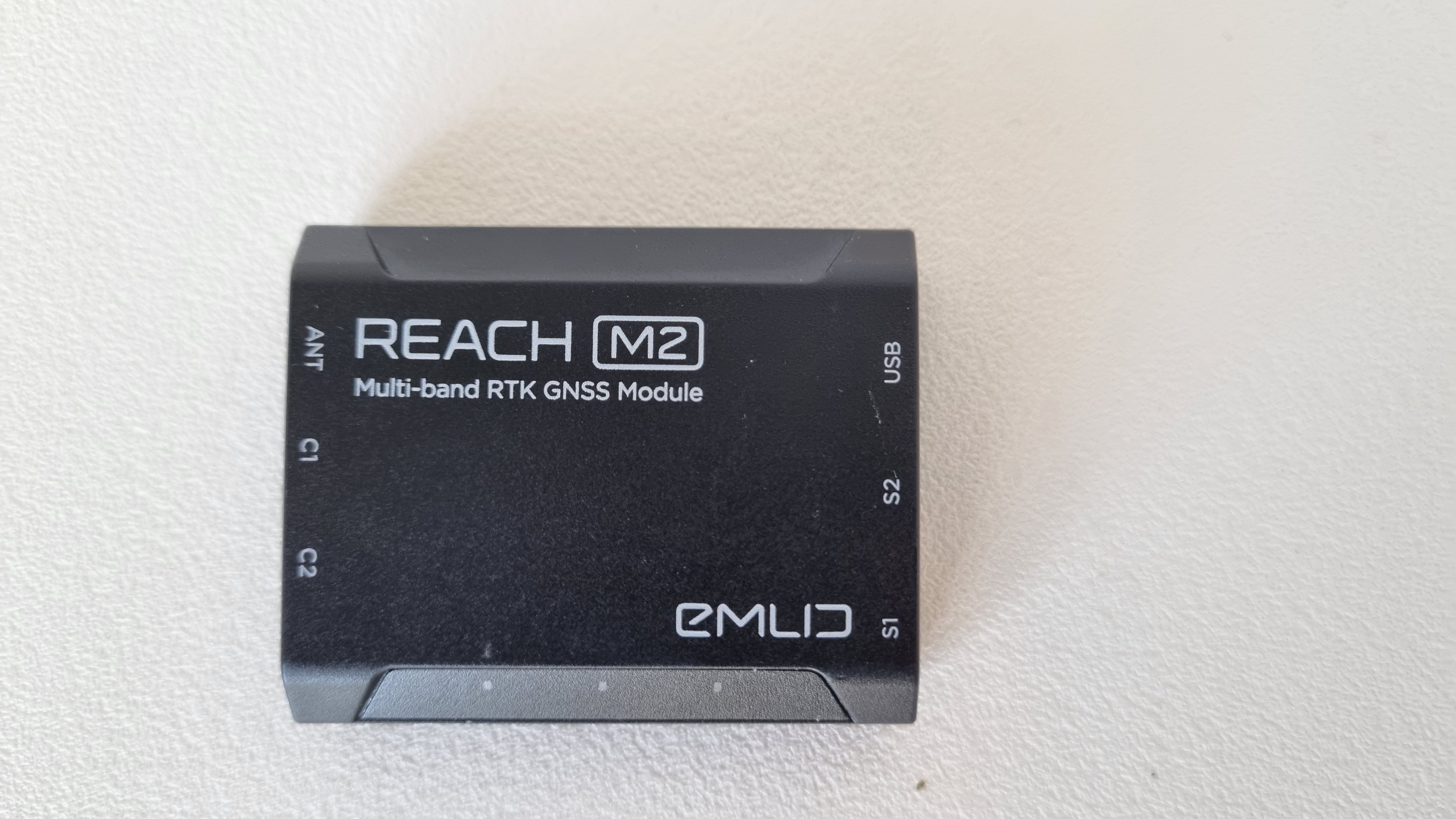
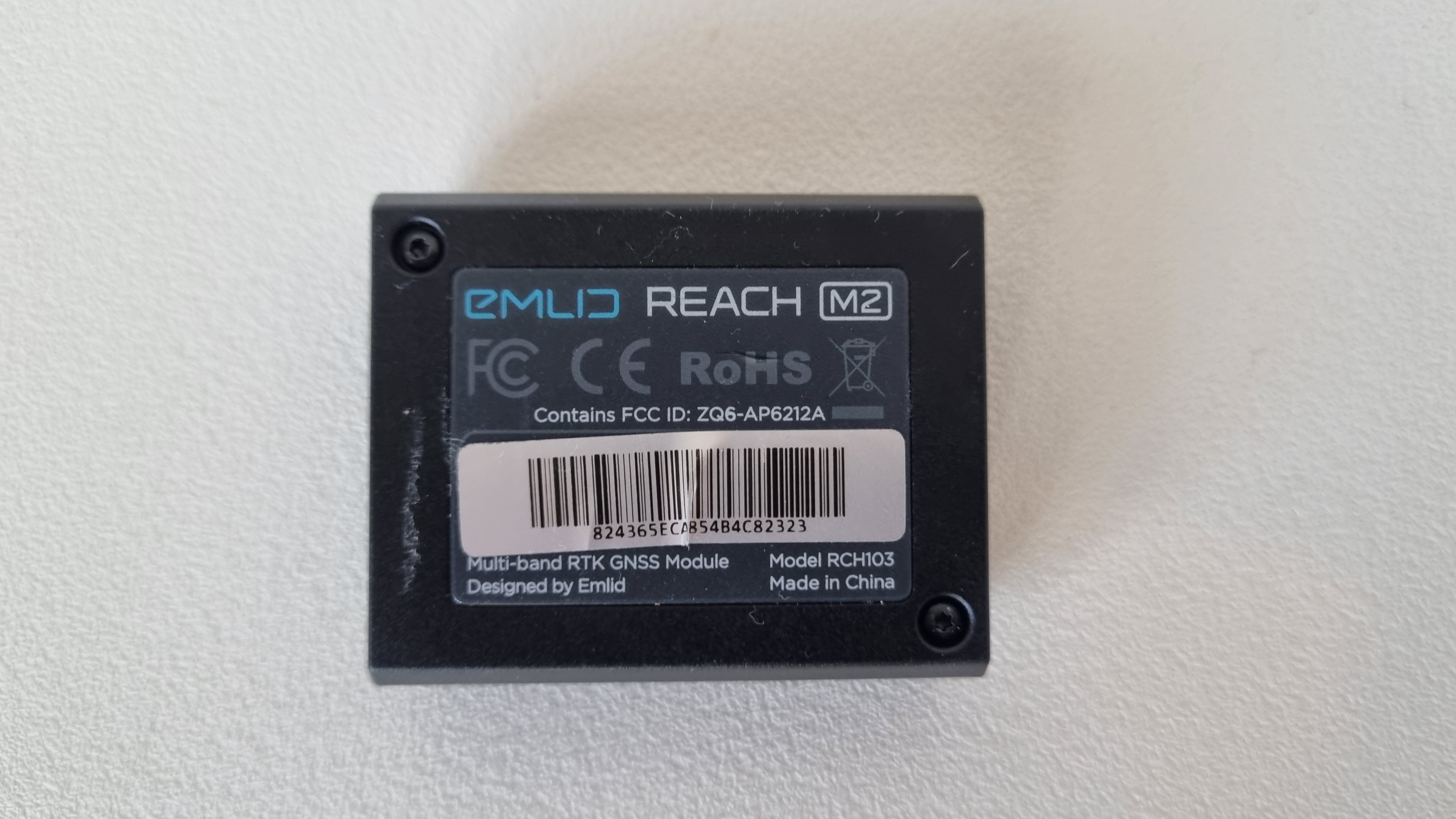
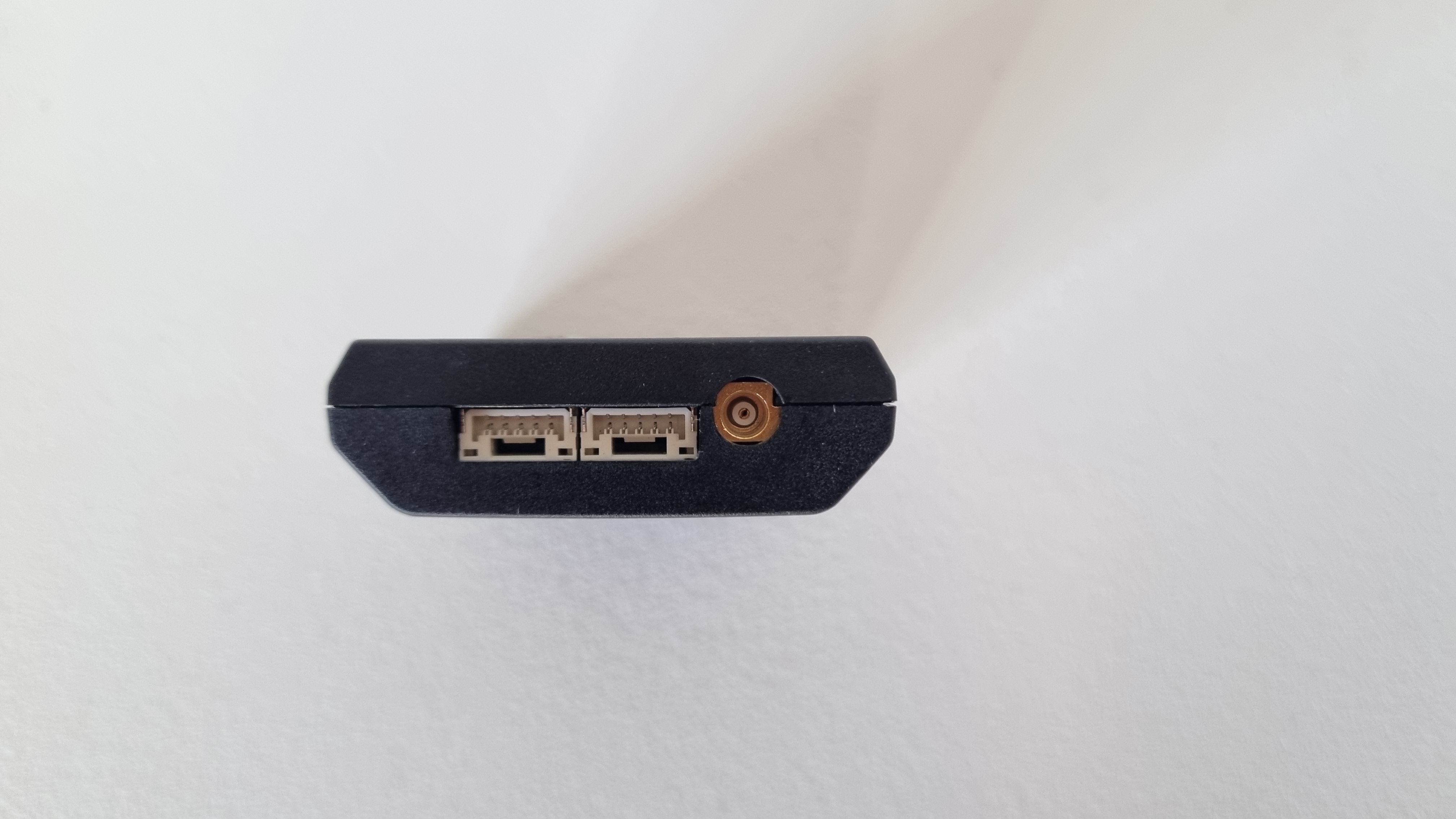
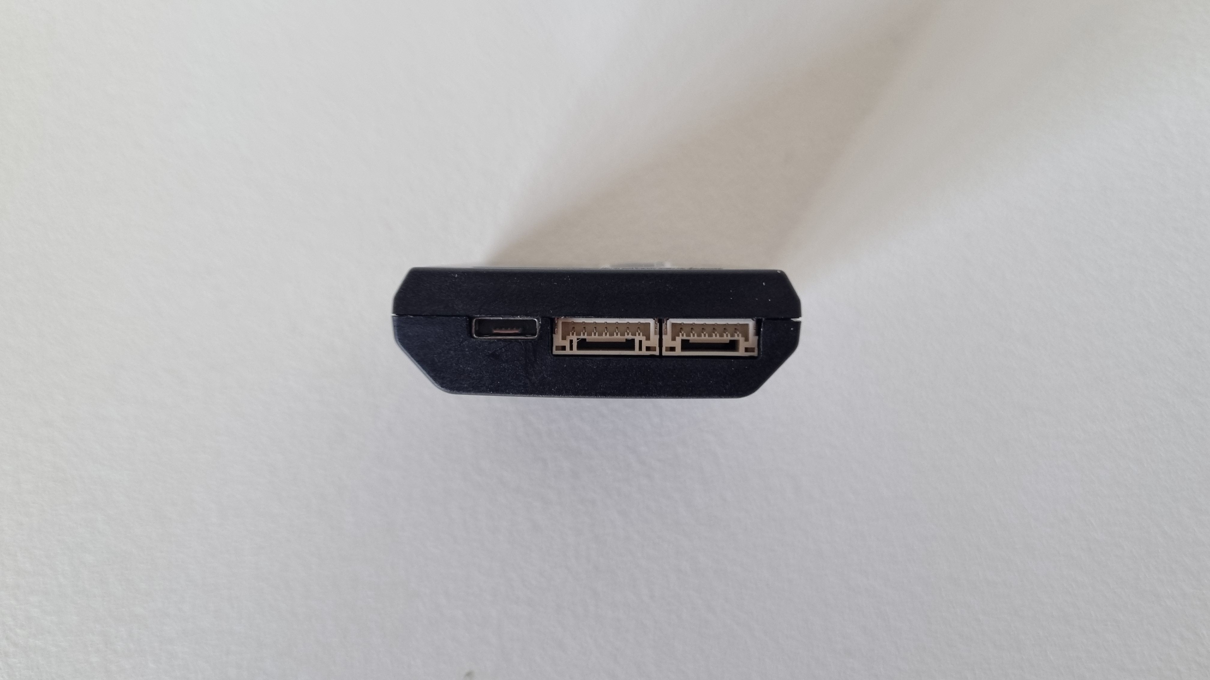
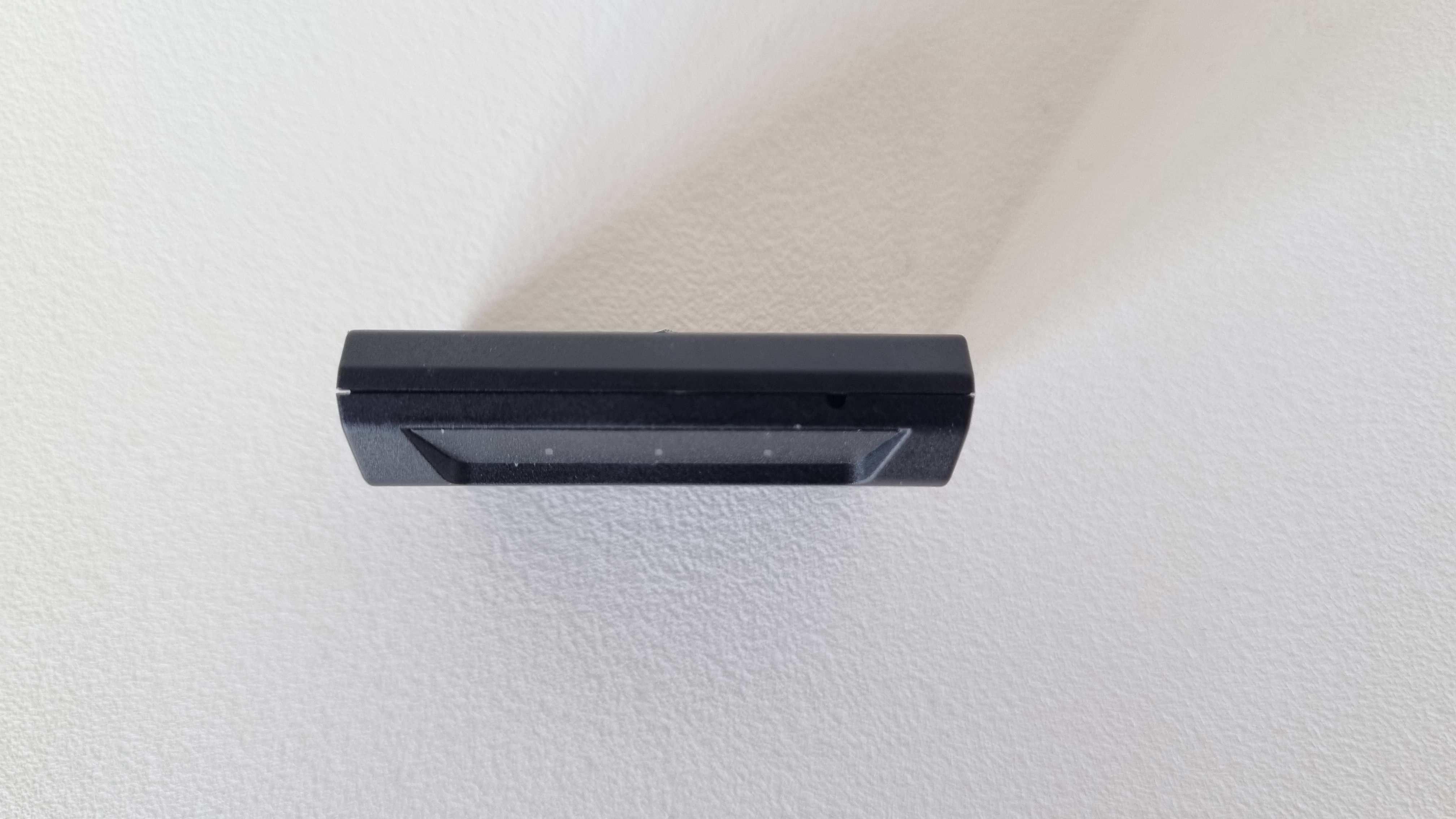
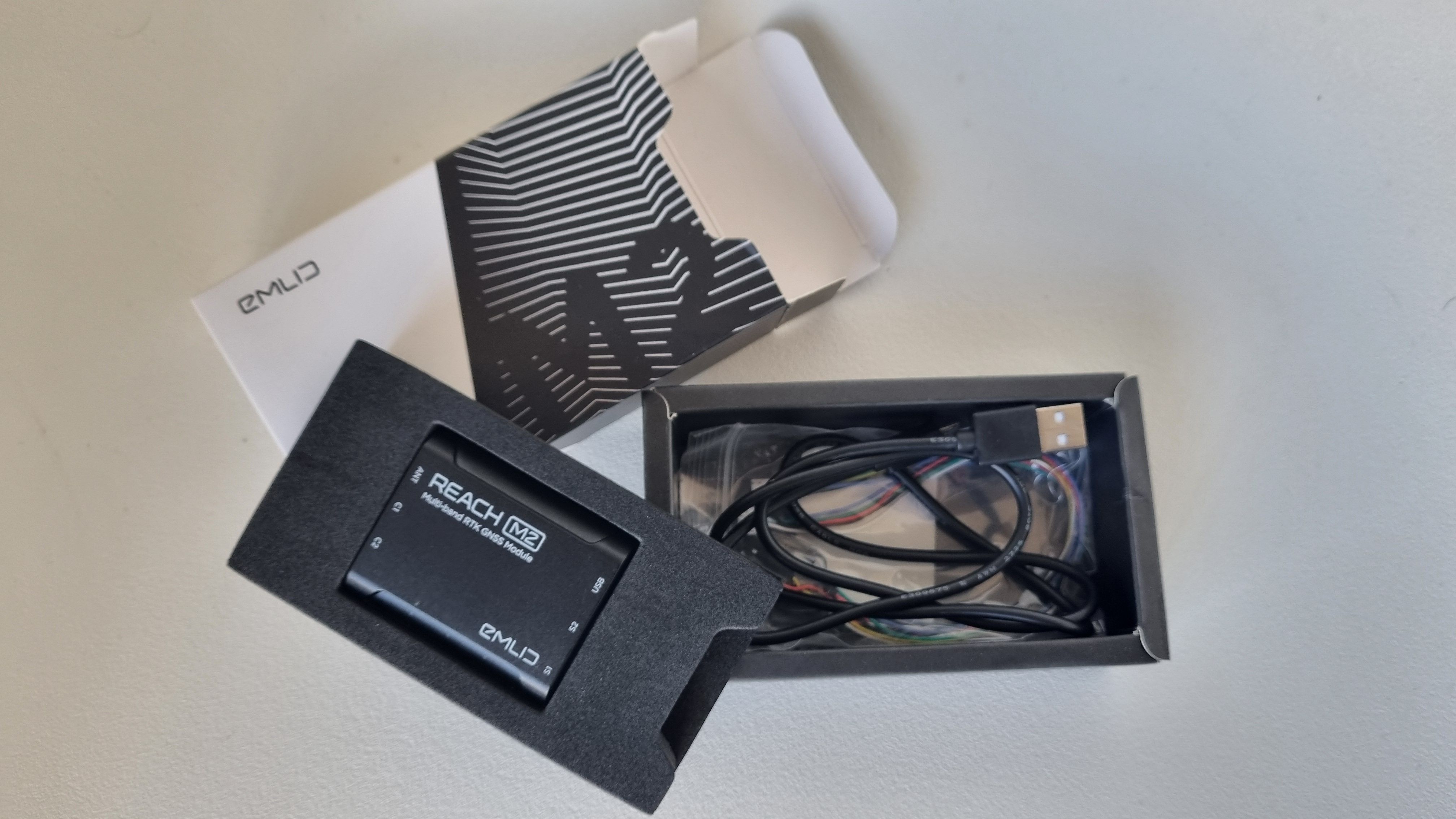
Emlid REACH M2 [Used A]
EMLID Reach M2 is a Multi-Band RTK GNSS module for precise navigation and UAV mapping without GCP which calculates real time coordinates with centimeter accuracy and streams them in NMEA or binary format to your device over UART, Bluetooth or WiFi. USED: GRADE A
551,65 € Exc.VAT (678,53 € Inc. 23% VAT)
Sale!
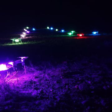
Entron 300 – Drone Light Show drone [Used C]
Entron 300 drones are a perfect choice for Drone Light Shows events. Compact, durable and light-weight it incorporates a Pixhawk autopilot compatible with all Drone Light Show software in the market. Highlighted Features UgCS DroneShowSoftware compatible Compact, durable, light-weight airframe Up to 26 min flight time Standard Pixhawk flight controller enabling flexible configuration and development RTK GPS enabling cm-level positioning precision Dual data links for redundant communication Full-color 15W RGB LED in high brightness Propeller cages optional Self-tightening or foldable props
650,00 € Exc.VAT (799,50 € Inc. 23% VAT)
Sale!
Entron 300 – Drone Light Show drone [Used B]
Entron 300 drones are a perfect choice for Drone Light Shows events. Compact, durable and light-weight it incorporates a Pixhawk autopilot compatible with all Drone Light Show software in the market. Highlighted Features UgCS DroneShowSoftware compatible Compact, durable, light-weight airframe Up to 26 min flight time Standard Pixhawk flight controller enabling flexible configuration and development RTK GPS enabling cm-level positioning precision Dual data links for redundant communication Full-color 15W RGB LED in high brightness Propeller cages optional Self-tightening or foldable props
700,00 € Exc.VAT (861,00 € Inc. 23% VAT)
Out of stock
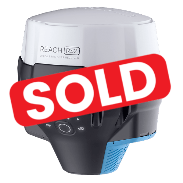
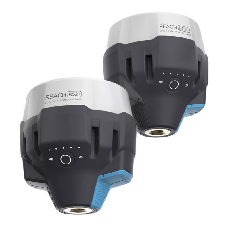
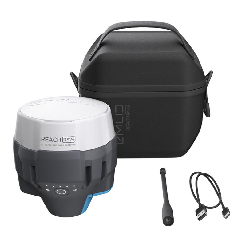
Emlid REACH RS2 GNSS Receiver [Used]
[DRONE DE DEMONSTRAÇÃO, APRESENTA RISCOS APARENTES] Emlid REACH RS2 Multi-band RTK GNSS receiver with centimeter precision For surveying, mapping and navigation. Comes with a mobile app
(Price on request)
Sale!
Entron 300 – Drone Light Show drone
Entron 300 drones are a perfect choice for Drone Light Shows events. Compact, durable and light-weight it incorporates a Pixhawk autopilot compatible with all Drone Light Show software in the market. Highlighted Features UgCS DroneShowSoftware compatible Compact, durable, light-weight airframe Up to 26 min flight time Standard Pixhawk flight controller enabling flexible configuration and development RTK GPS enabling cm-level positioning precision Dual data links for redundant communication Full-color 15W RGB LED in high brightness Propeller cages optional Self-tightening or foldable props
750,00 € Exc.VAT (922,50 € Inc. 23% VAT)
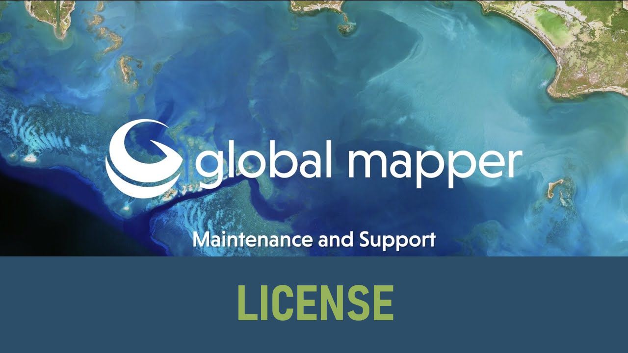
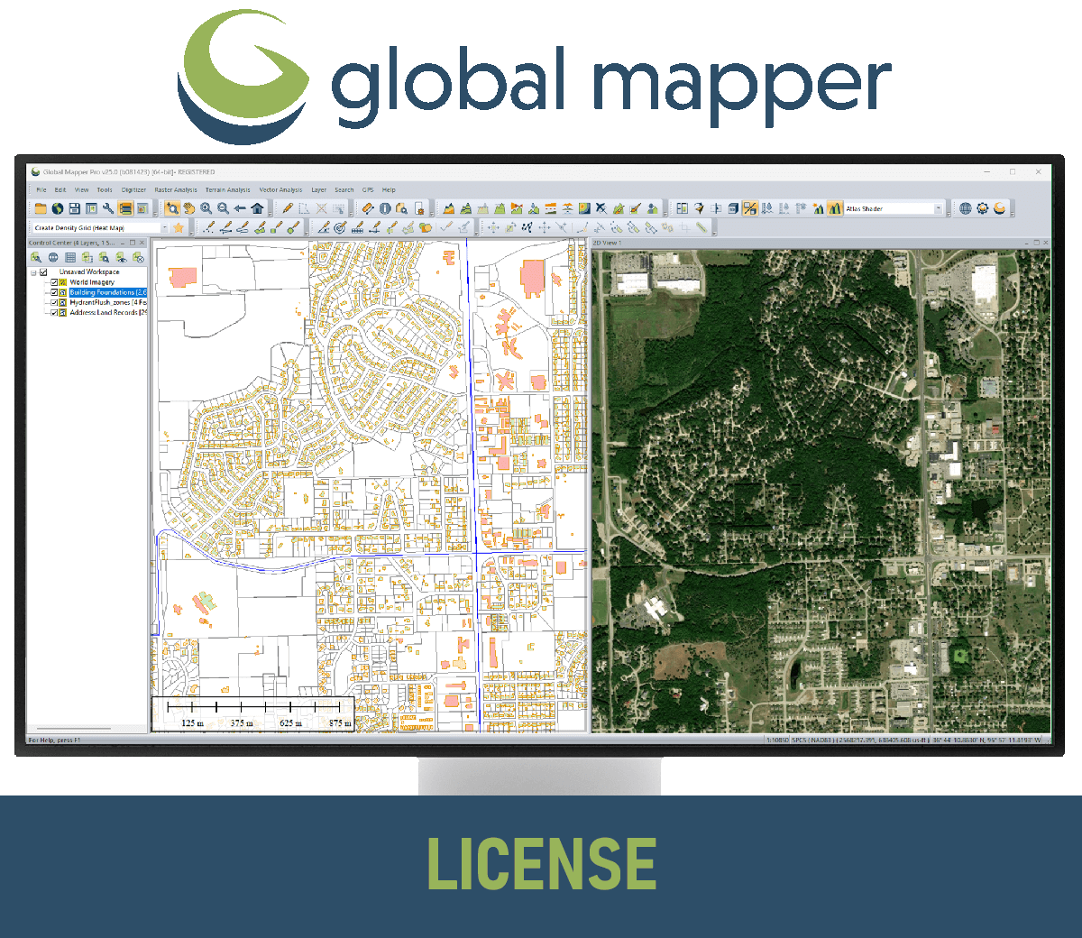
GM (Standard and Pro) – Maintenance & Support
Extension for Maintenance & Support of Global Mapper Standard and Pro versions for 12 months period.
(Price on request)
Agisoft Metashape Standard, Node-Locked license, 3 licenses pack
-Agisoft Metashape Standard Edition is a stand-alone software product that performs photogrammetric processing of digital images and generates 3D spatial data to be used in GIS applications, cultural heritage documentation, and visual effects production as well as for indirect measurements of objects of various scales. Agisoft Metashape Standard, Node-Locked license, 3 licenses pack
(Price on request)
GeoCalc SDK
The GeoCalc Software Developer Toolkit (also known as an API) entitles one developer to work with the SDK to develop custom applications.
(Price on request)

Global Mapper Pro SDK
The Global Mapper Pro Software Developer Toolkit, which includes lidar functionality and other advanced tools, entitles one developer to work with the SDK to develop custom applications.
(Price on request)

-
-
-
-
-
-
-
Sale!
 Vista Rápida
 -
Sale!
 Vista Rápida
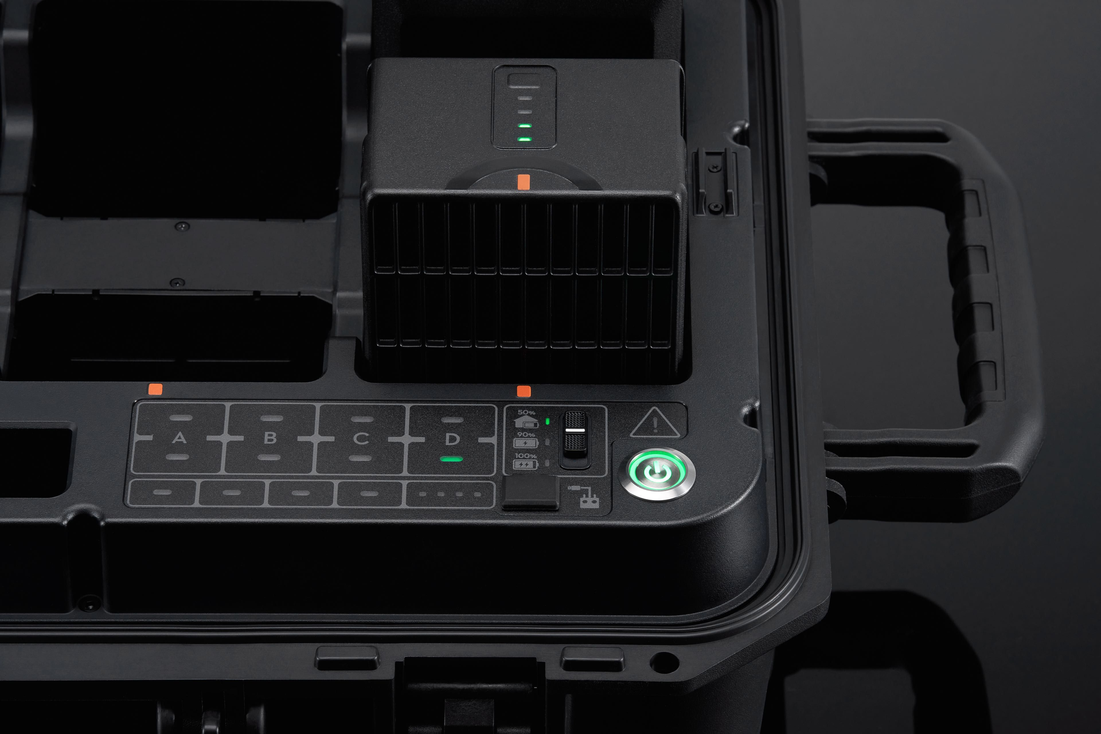
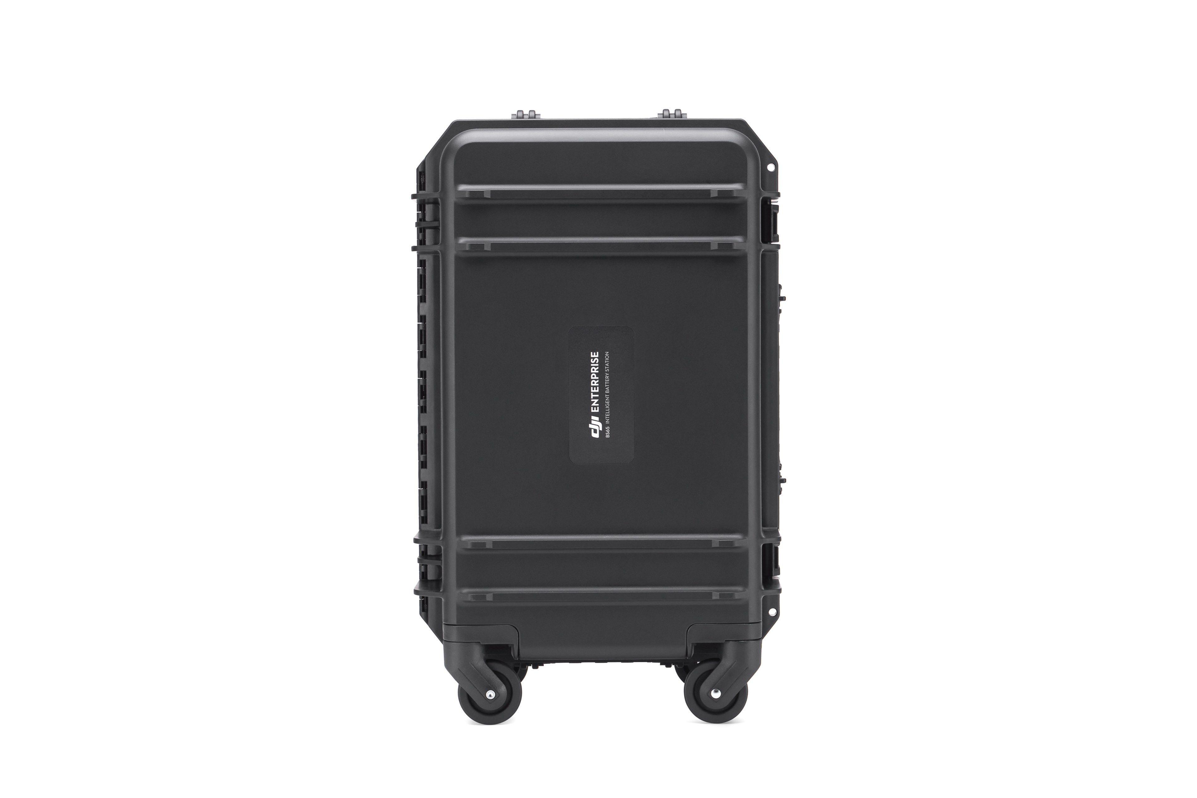
BS65 Intelligent Battery Station
Accessories DJI Matrice 350 RTK 999,00 € Exc.VAT (1.228,77 € Inc. 23% VAT)

-
 Vista Rápida
 -
Vista Rápida
-
 Vista Rápida
 -
-
-
-
-
-
Vista Rápida
DJI Matrice 350 RTK-Worry-Free Basic Combo
DJI Matrice 350 RTK 10.150,00 € Exc.VAT (12.484,50 € Inc. 23% VAT) -
-
-
-
-
 Vista Rápida
DJI Mavic 3M (Multispectral) – Free Basic Combo – 1 Year
DJI 3.889,00 € Exc.VAT (4.783,47 € Inc. 23% VAT) -
 Vista Rápida
DJI Mavic 3E (Enterprise) Worry-Free Basic Combo – 1 Year
DJI 2.899,00 € Exc.VAT (3.565,77 € Inc. 23% VAT) -
-
Vista Rápida
-
Vista Rápida
-
 Vista Rápida
Agisoft Metashape Standard, Node-Locked Educational license, Single
Agisoft 54,00 € Exc.VAT (66,42 € Inc. 23% VAT) -
-
-
-
-
